Skip to main content
Eyebrow
About Us
Advertise
Subscribe
Contact
Social Media
Bluesky
Facebook
Instagram
LinkedIn
YouTube
Search
Main navigation
News
Products
Features
Categories
Air Quality & Weather Systems
C/AV
Charging, Tolling & RUC
Classification & Data Collection
Detection, Monitoring & Machine Vision
Enforcement
GIS/ Mapping & Location Based Systems
Mass Transit & MaaS
Networking & Communication Systems
Parking & Access Control
Urban Traffic Control
Daily News
ITS World Congress 2025
Show News
Digital Edition
Show Information
eNewsletter
ITS World Congress 2024
Digital Edition
Show Information
eNewsletter
Intertraffic Amsterdam 2024
Event Home
Show Information
eNewsletter
Digital Edition
ITS America 2024
Digital Edition
Show Information
eNewsletter
ITS America 2023
Digital Edition
Show Information
eNewsletter
ITS World Congress 2022
Digital Edition
Show Information
eNewsletter
Intertraffic Amsterdam 2022
Digital Edition
Show Information
eNewsletter
ITS World Congress 2021
Digital Edition
Show Information
eNewsletter
ITS America 2021
Digital Edition
Show Information
eNewsletter
Innovation News 2020
Digital Edition
Show Information
eNewsletter
Calendar
Magazine
Videos
Home
GIS/ Mapping & Location Based Systems
GIS/ Mapping & Location Based Systems
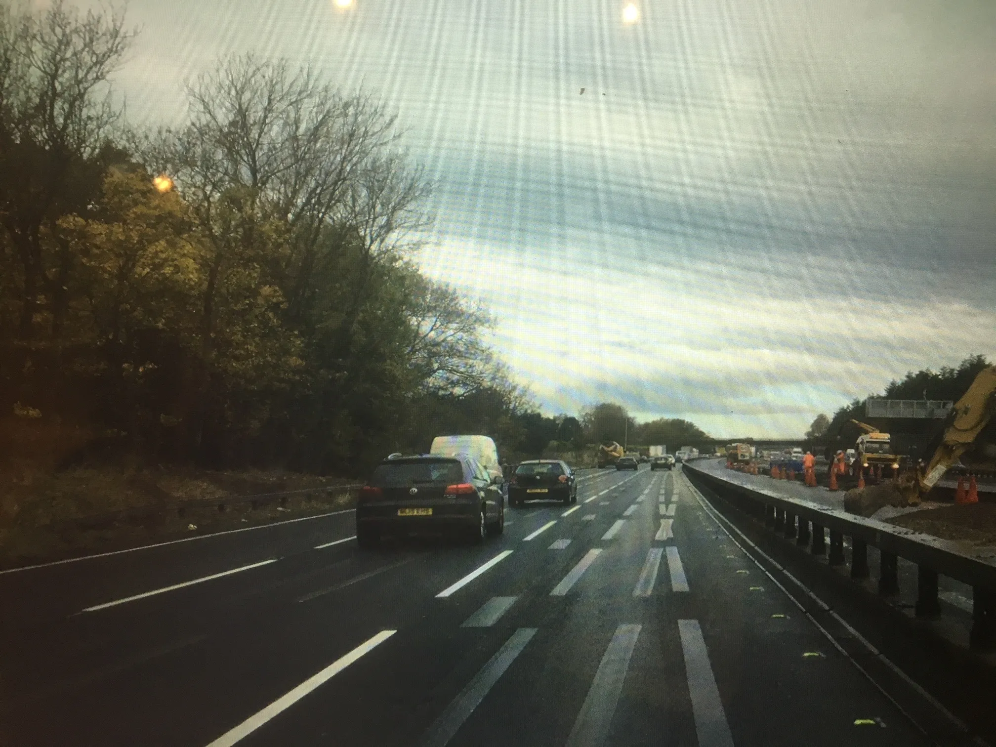
Highways England tests ghost busters
January 25, 2021
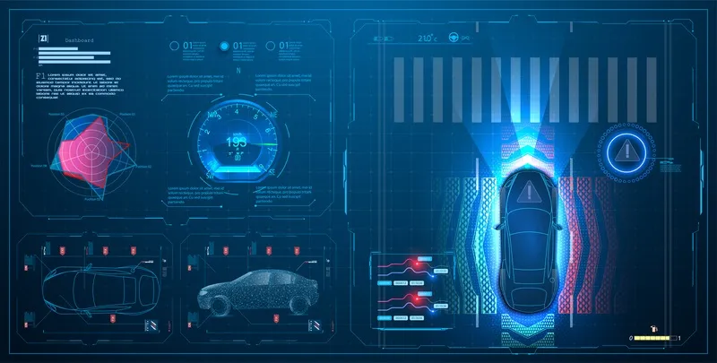
Getting rid of misleading or confusing road markings will be vital for safe AV operation
Read More
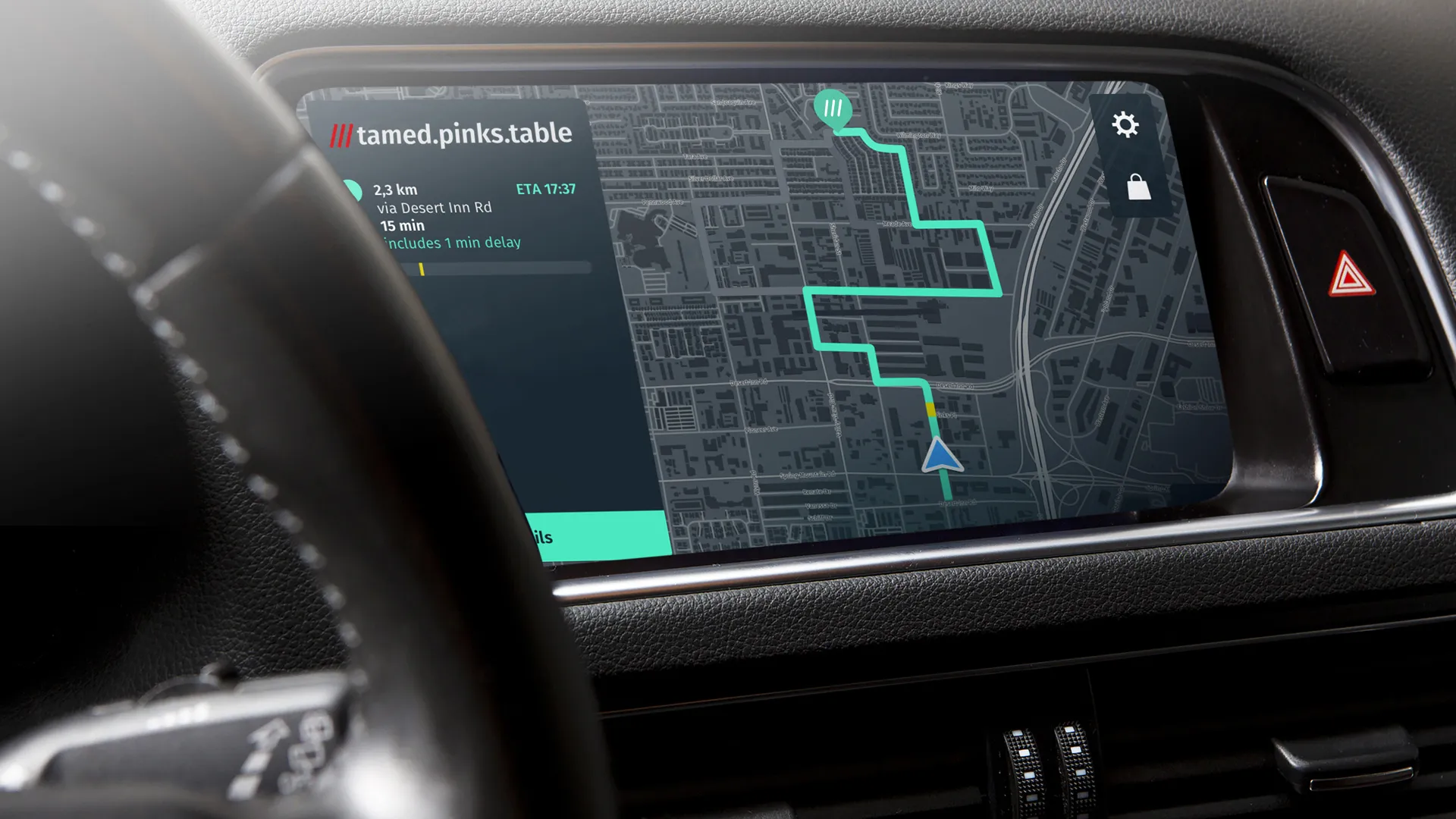
South Nevada RTC provides bus crowding data
January 19, 2021
Transit's app will help passengers make decisions about socially-distanced journeys
Read More
CES 2021: Bosch zeroes in on sustainability
January 12, 2021
Company is looking at the intersection between AI and the Internet of Things
Read More
Oxbotica gets $47m AV development boost
January 8, 2021
Investment round will accelerate deployment of autonomy software platform, firm says
Read More
GTT bolsters solutions with GNSS
January 7, 2021
Opticom solutions cover transit signal priority and traffic sensing technology
Read More
Here strengthens navigation with What3words
November 4, 2020
OEMs can integrate addressing service to customers via Here Search API
Read More
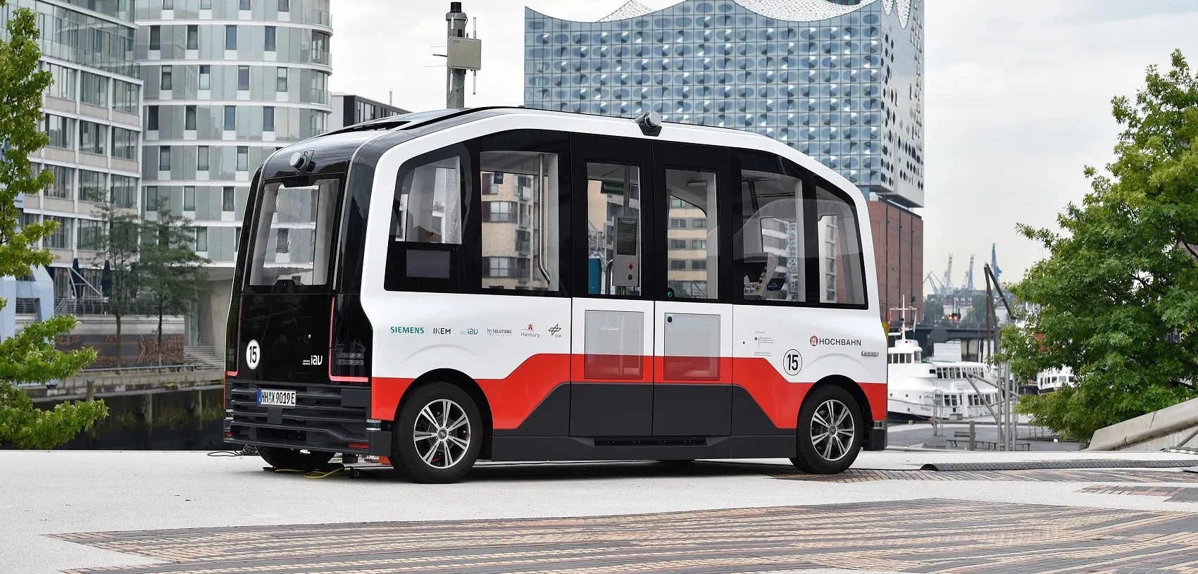
Hamburg HEAT starts passenger operations
October 26, 2020
Driverless minibus can carry three passengers - plus two members of staff in initial phase
Read More
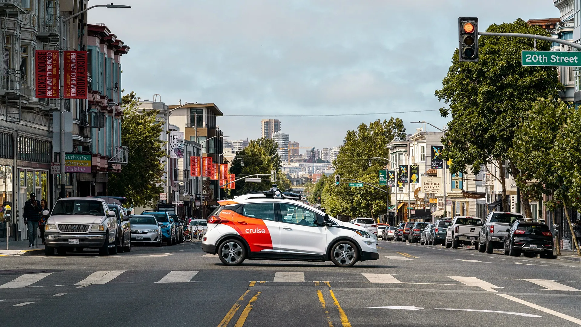
Cruise ‘moonshot’ to hit streets of SF
October 19, 2020
AV firm has green light from California DMV to get rid of human driver
Read More
FIA Region I warns of ADAS ‘limitations’
October 19, 2020
Safety features are ‘good friends’ but drivers need to understand exactly how they work
Read More
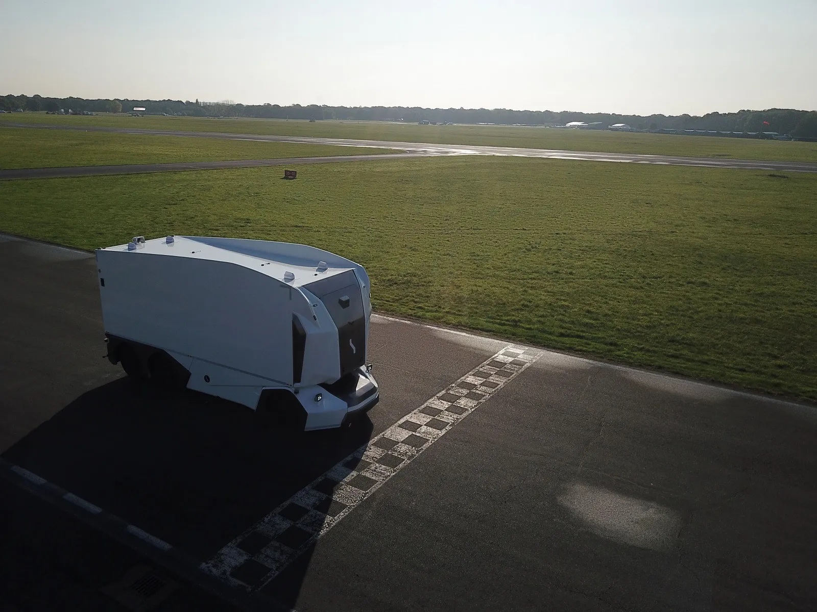
Einride freight e-AV sets Top Gear record
October 16, 2020
Driverless electric HGV is first of its type to do lap on TV show track
Read More
Pagination
First page
« First
Previous page
‹‹
…
Page
52
Page
53
Page
54
Page
55
Page
56
Page
57
Page
58
Page
59
Page
60
…
Next page
››
Last page
Last »
Editor's Choice
Modaxo buys transport scheduling software provider Siscog
Rotterdam links airport with metro via autonomous bus
EC Road Safety Awards 2025 finalists announced
Highlighted Content
July 14, 2025
Miovision tool allows cities to 'act faster' to prevent crashes
Read More
July 23, 2025
Innovation without the chaos
Read More
July 23, 2025
Modaxo buys transport scheduling software provider Siscog
Read More
July 24, 2025
Rotterdam links airport with metro via autonomous bus
Read More
August 1, 2025
High-precision Theia telephotos for fixed and mobile traffic installations
Read More
Home
News
Products
Features
Categories
Air Quality & Weather Systems
C/AV
Charging, Tolling & RUC
Classification & Data Collection
Detection, Monitoring & Machine Vision
Enforcement
GIS/ Mapping & Location Based Systems
Mass Transit & MaaS
Networking & Communication Systems
Parking & Access Control
Urban Traffic Control
Daily News
ITS World Congress 2025
Show News
Digital Edition
Show Information
eNewsletter
ITS World Congress 2024
Show Information
eNewsletter
Digital Edition
Intertraffic Amsterdam 2024
Event Home
Show Information
eNewsletter
Digital Edition
ITS America 2024
Show Information
eNewsletter
Digital Edition
ITS America 2023
Show Information
eNewsletter
Digital Edition
ITS World Congress 2022
Show Information
eNewsletter
Digital Edition
Intertraffic Amsterdam 2022
Show Information
eNewsletter
Digital Edition
ITS World Congress 2021
Show Information
eNewsletter
Digital Edition
ITS America 2021
Show Information
eNewsletter
Digital Edition
Innovation News 2020
Digital Edition
Show Information
eNewsletter
Calendar
Magazine
Videos