Skip to main content
Eyebrow
About Us
Advertise
Subscribe
Contact
Social Media
Bluesky
Facebook
Instagram
LinkedIn
YouTube
Search
Main navigation
News
Products
Features
Categories
Air Quality & Weather Systems
C/AV
Charging, Tolling & RUC
Classification & Data Collection
Detection, Monitoring & Machine Vision
Enforcement
GIS/ Mapping & Location Based Systems
Mass Transit & MaaS
Networking & Communication Systems
Parking & Access Control
Urban Traffic Control
Daily News
ITS World Congress 2025
Show News
Digital Edition
Show Information
eNewsletter
ITS World Congress 2024
Digital Edition
Show Information
eNewsletter
Intertraffic Amsterdam 2024
Event Home
Show Information
eNewsletter
Digital Edition
ITS America 2024
Digital Edition
Show Information
eNewsletter
ITS America 2023
Digital Edition
Show Information
eNewsletter
ITS World Congress 2022
Digital Edition
Show Information
eNewsletter
Intertraffic Amsterdam 2022
Digital Edition
Show Information
eNewsletter
ITS World Congress 2021
Digital Edition
Show Information
eNewsletter
ITS America 2021
Digital Edition
Show Information
eNewsletter
Innovation News 2020
Digital Edition
Show Information
eNewsletter
Calendar
Magazine
Videos
Home
GIS/ Mapping & Location Based Systems
GIS/ Mapping & Location Based Systems
ITS America & AASHTO: 5.9 GHz legal action
June 7, 2021
Two respected transportation bodies launch appeal against FCC's decision on 5.9 GHz band
Read More
Indiana helps disabled bus riders plan ahead
June 2, 2021
Transit Map includes pavement measurements and kerb types for wheelchair access
Read More
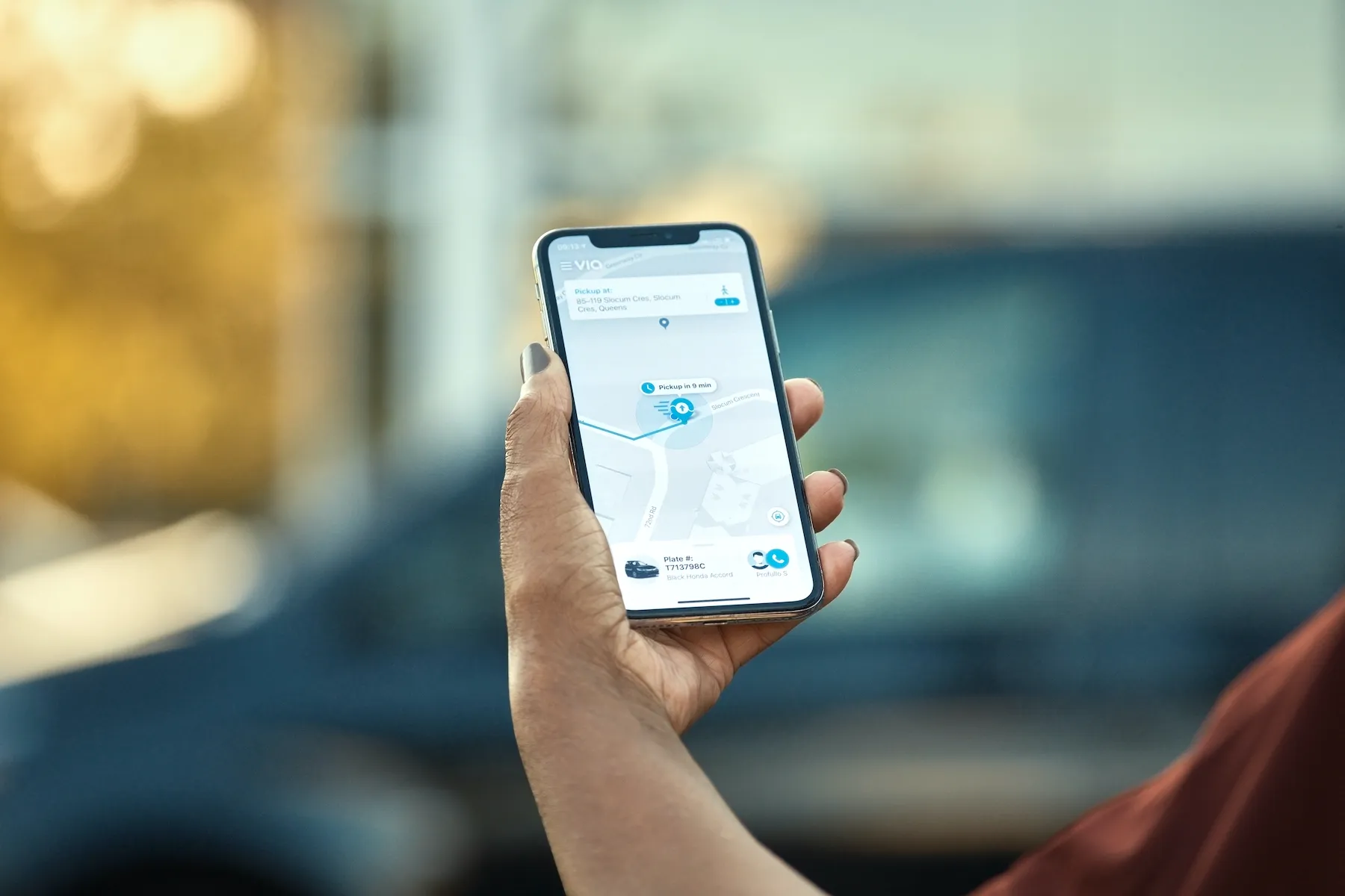
Via offers night access to Pennsylvania jobs
May 24, 2021
Free on-demand service aims to connect 'third-shift' workers to regular transit stops
Read More
Baidu deploys unmanned robotaxis in China
May 14, 2021
No safety driver for Baidu Apollo vehicles at site of 2022 Beijing Winter Olympics
Read More
OmniAir authorises Dekra as test lab
May 6, 2021
Dekra to perform testing for cellular Vehicle to Everything technology in Málaga, Spain
Read More
Ingka invests £12m in What3Words tech
April 2, 2021
Info will reduce CO2 emissions and vehicles on the road - and help with drone deliveries
Read More
Nuro raises $500m to develop AV tech
April 1, 2021
Toyota's Woven Capital is among the investors in autonomous vehicle technology
Read More
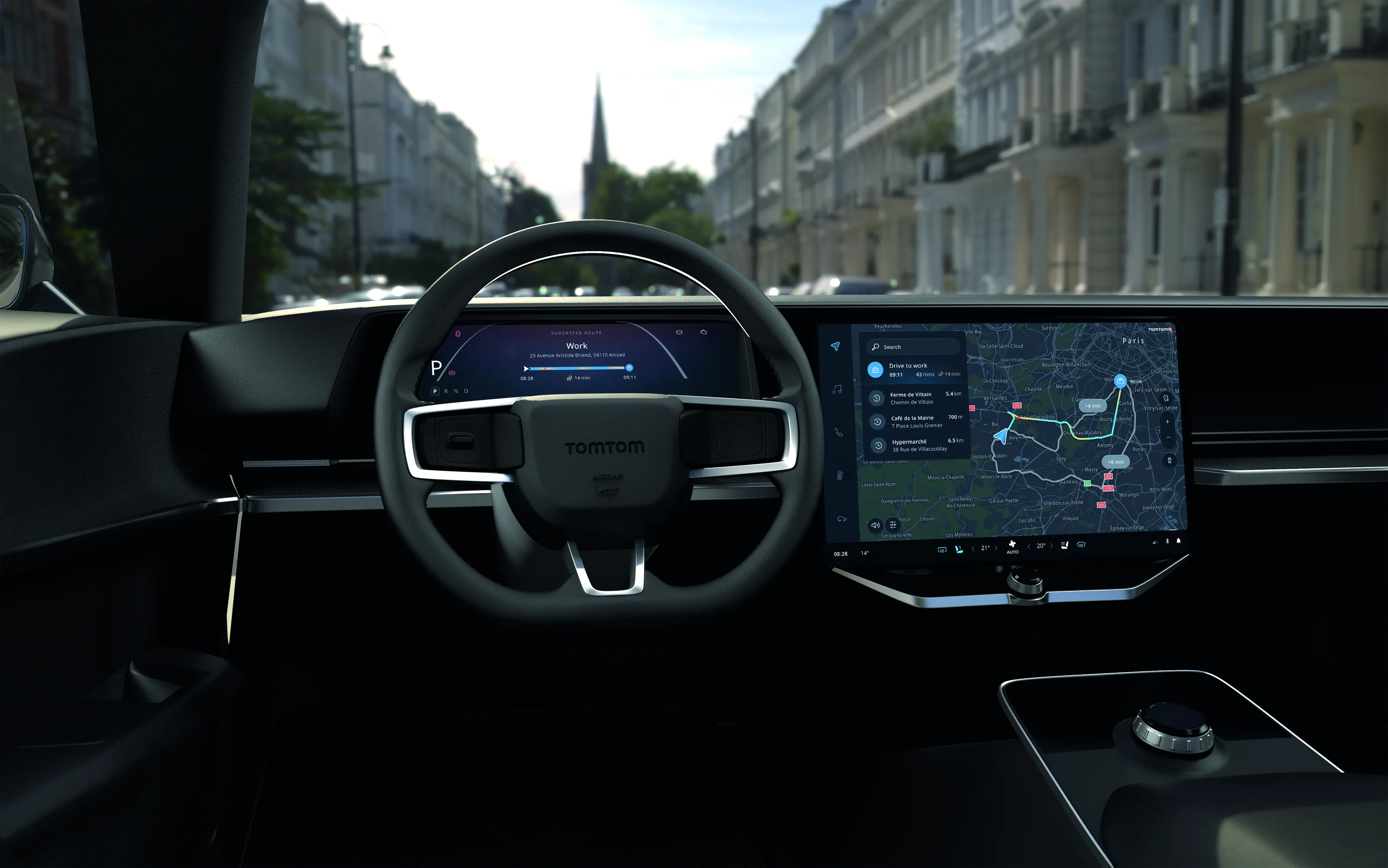
TomTom offers hybrid navigation solution
March 26, 2021
Drivers can interact with TomTom’s navigation via Amazon Alexa
Read More
Bosch and Siemens introduce V2X platform
March 18, 2021
Integrated connected vehicle collective perception system combines cameras and RSUs
Read More
Baidu to develop China 5G driving project
March 17, 2021
Baidu plans to build an intelligent connected vehicle demo zone in Chengdu
Read More
Pagination
First page
« First
Previous page
‹‹
…
Page
50
Page
51
Page
52
Page
53
Page
54
Page
55
Page
56
Page
57
Page
58
…
Next page
››
Last page
Last »
Editor's Choice
Modaxo buys transport scheduling software provider Siscog
Rotterdam links airport with metro via autonomous bus
EC Road Safety Awards 2025 finalists announced
Highlighted Content
July 14, 2025
Miovision tool allows cities to 'act faster' to prevent crashes
Read More
July 23, 2025
Innovation without the chaos
Read More
July 23, 2025
Modaxo buys transport scheduling software provider Siscog
Read More
July 24, 2025
Rotterdam links airport with metro via autonomous bus
Read More
August 1, 2025
High-precision Theia telephotos for fixed and mobile traffic installations
Read More
Home
News
Products
Features
Categories
Air Quality & Weather Systems
C/AV
Charging, Tolling & RUC
Classification & Data Collection
Detection, Monitoring & Machine Vision
Enforcement
GIS/ Mapping & Location Based Systems
Mass Transit & MaaS
Networking & Communication Systems
Parking & Access Control
Urban Traffic Control
Daily News
ITS World Congress 2025
Show News
Digital Edition
Show Information
eNewsletter
ITS World Congress 2024
Show Information
eNewsletter
Digital Edition
Intertraffic Amsterdam 2024
Event Home
Show Information
eNewsletter
Digital Edition
ITS America 2024
Show Information
eNewsletter
Digital Edition
ITS America 2023
Show Information
eNewsletter
Digital Edition
ITS World Congress 2022
Show Information
eNewsletter
Digital Edition
Intertraffic Amsterdam 2022
Show Information
eNewsletter
Digital Edition
ITS World Congress 2021
Show Information
eNewsletter
Digital Edition
ITS America 2021
Show Information
eNewsletter
Digital Edition
Innovation News 2020
Digital Edition
Show Information
eNewsletter
Calendar
Magazine
Videos