Skip to main content
Eyebrow
About Us
Advertise
Subscribe
Contact
Social Media
Bluesky
Facebook
Instagram
LinkedIn
YouTube
Search
Main navigation
News
Products
Features
Categories
Air Quality & Weather Systems
C/AV
Charging, Tolling & RUC
Classification & Data Collection
Detection, Monitoring & Machine Vision
Enforcement
GIS/ Mapping & Location Based Systems
Mass Transit & MaaS
Networking & Communication Systems
Parking & Access Control
Urban Traffic Control
Daily News
ITS World Congress 2025
Show News
Digital Edition
Show Information
eNewsletter
ITS World Congress 2024
Digital Edition
Show Information
eNewsletter
Intertraffic Amsterdam 2024
Event Home
Show Information
eNewsletter
Digital Edition
ITS America 2024
Digital Edition
Show Information
eNewsletter
ITS America 2023
Digital Edition
Show Information
eNewsletter
ITS World Congress 2022
Digital Edition
Show Information
eNewsletter
Intertraffic Amsterdam 2022
Digital Edition
Show Information
eNewsletter
ITS World Congress 2021
Digital Edition
Show Information
eNewsletter
ITS America 2021
Digital Edition
Show Information
eNewsletter
Innovation News 2020
Digital Edition
Show Information
eNewsletter
Calendar
Magazine
Videos
Home
GIS/ Mapping & Location Based Systems
GIS/ Mapping & Location Based Systems
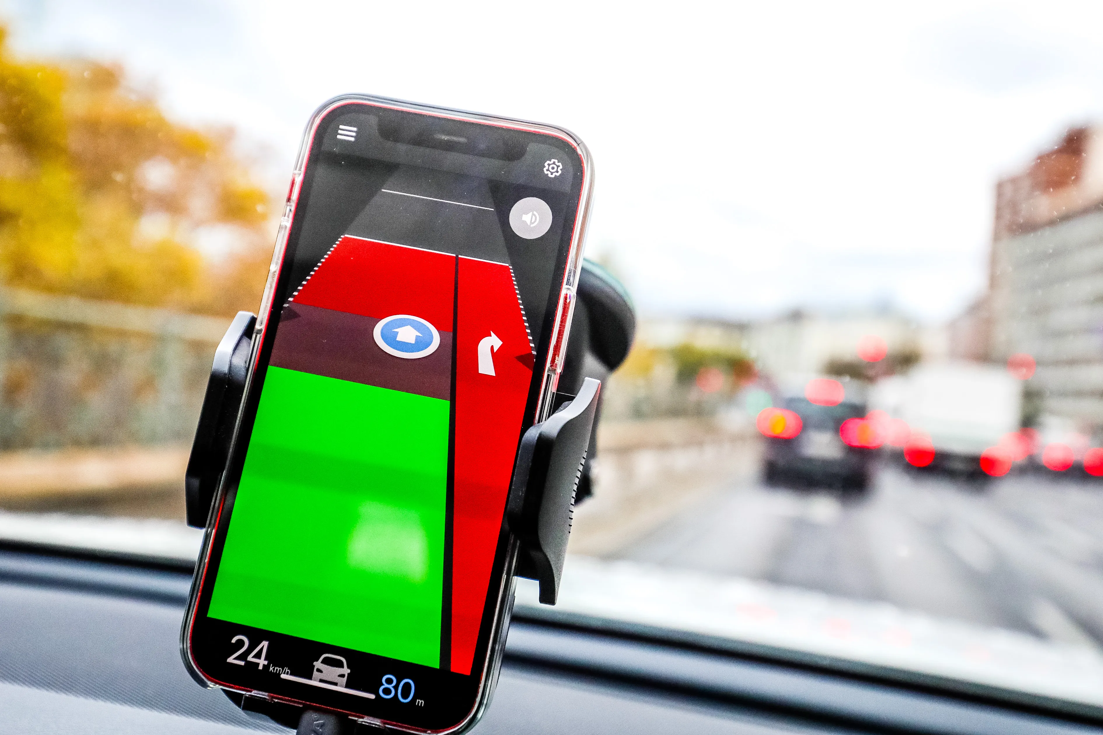
Kapsch unveils Vienna traffic light app
November 19, 2021
Grüne Welle Wien app is expected to save up to 15% emissions as traffic flow improves
Read More
MV helps agencies expand mobility options
November 18, 2021
Solution aimed at special transport needs integrates with passenger and scheduling software
Read More
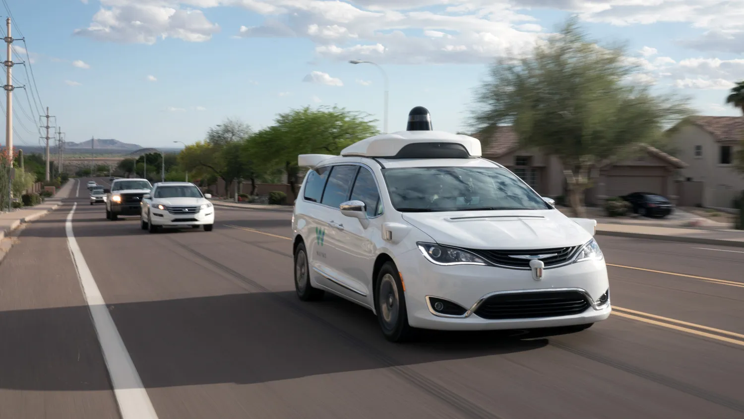
Waymo Driver hits NYC streets
November 17, 2021
Firm says insights will help Waymo Driver AV system predict actions of other road users
Read More
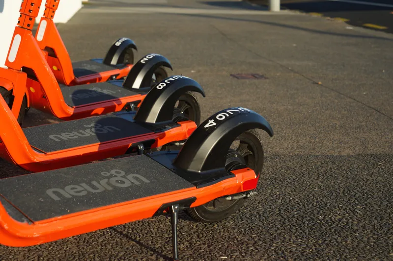
Neuron gives e-scooters a 'brain'
November 16, 2021
New feature includes high accuracy location technology and rapid geofence detection
Read More
OS data helps EVs and cities
November 8, 2021
OS says new mapping techniques are addressing rapid urbanisation
Read More
Moovit points users to Bird
November 8, 2021
Partners will carry out research to gain local perspectives on mobility trends
Read More
Hikvision to offer telematics solution
October 25, 2021
Gurtam GPS tracking platform integrates with Hikvision mobile cameras and MNVR
Read More
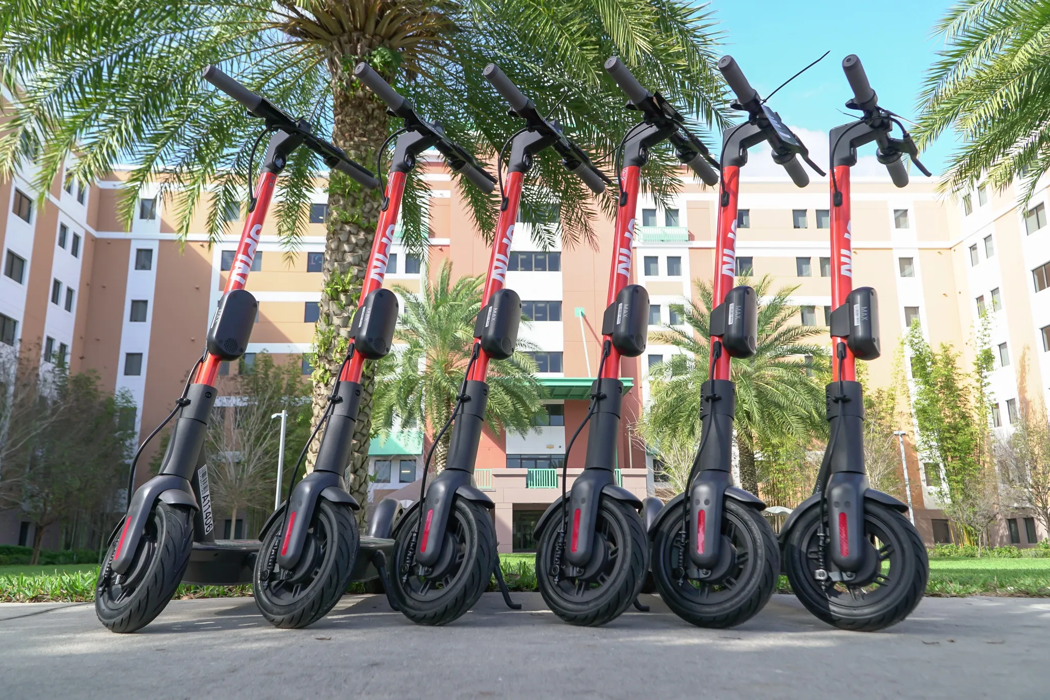
Lessons learned after year of Spin
October 7, 2021
Micromobility firm's discussion highlights some challenges of e-scooter deployment in UK
Read More
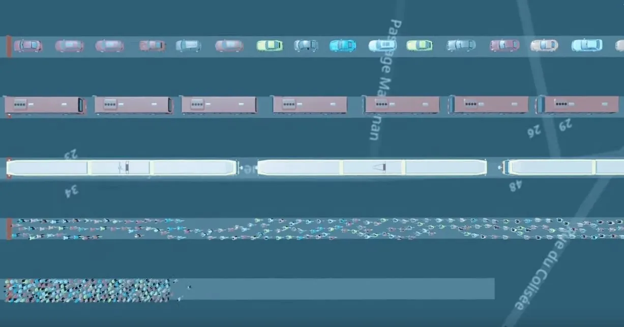
Cars take up a lot of street space, PTV shows
October 1, 2021
Animation: PTV highlights how long it takes for cars - versus other modes - to get people moving
Read More
Driverless trucks now making FedEx deliveries
September 28, 2021
Commercial pilot in Texas sees vehicles with safety driver travel between Dallas and Houston
Read More
Pagination
First page
« First
Previous page
‹‹
…
Page
47
Page
48
Page
49
Page
50
Page
51
Page
52
Page
53
Page
54
Page
55
…
Next page
››
Last page
Last »
Editor's Choice
Modaxo buys transport scheduling software provider Siscog
Rotterdam links airport with metro via autonomous bus
EC Road Safety Awards 2025 finalists announced
Highlighted Content
July 14, 2025
Miovision tool allows cities to 'act faster' to prevent crashes
Read More
July 23, 2025
Innovation without the chaos
Read More
July 23, 2025
Modaxo buys transport scheduling software provider Siscog
Read More
July 24, 2025
Rotterdam links airport with metro via autonomous bus
Read More
August 1, 2025
High-precision Theia telephotos for fixed and mobile traffic installations
Read More
Home
News
Products
Features
Categories
Air Quality & Weather Systems
C/AV
Charging, Tolling & RUC
Classification & Data Collection
Detection, Monitoring & Machine Vision
Enforcement
GIS/ Mapping & Location Based Systems
Mass Transit & MaaS
Networking & Communication Systems
Parking & Access Control
Urban Traffic Control
Daily News
ITS World Congress 2025
Show News
Digital Edition
Show Information
eNewsletter
ITS World Congress 2024
Show Information
eNewsletter
Digital Edition
Intertraffic Amsterdam 2024
Event Home
Show Information
eNewsletter
Digital Edition
ITS America 2024
Show Information
eNewsletter
Digital Edition
ITS America 2023
Show Information
eNewsletter
Digital Edition
ITS World Congress 2022
Show Information
eNewsletter
Digital Edition
Intertraffic Amsterdam 2022
Show Information
eNewsletter
Digital Edition
ITS World Congress 2021
Show Information
eNewsletter
Digital Edition
ITS America 2021
Show Information
eNewsletter
Digital Edition
Innovation News 2020
Digital Edition
Show Information
eNewsletter
Calendar
Magazine
Videos