Esri software powers Lithuania project

The government of Lithuania has used Esri’s software to create a website – which went live this week - covering all of its transport network rather than simply one urban area. “It’s a multimodal journey planner for the whole country,” explains Terry C. Bills, Global Transportation Industry Manager at Esri. “So it’s a question of stitching together city systems with inter-city ones and pulling them together in a seamless way.”
October 8, 2015 Read time: 2 mins
Ian Koeppel of Esri shows off the software

The government of Lithuania has used 50 Esri’s software to create a website – which went live this week - covering all of its transport network rather than simply one urban area.

“It’s a multimodal journey planner for the whole country,” explains Terry C. Bills, Global Transportation Industry Manager at Esri. “So it’s a question of stitching together city systems with inter-city ones and pulling them together in a seamless way.”

Geographic information system (GIS) platform provider Esri brings location and other data from various sources into a single user-facing site, incorporating such elements as weather (including potential hazards such as ice or snow), the availability of parking spaces or the location of long-term construction works alongside more obvious features such as real-time traffic speeds or camera feeds.

The California-based firm says its solutions are helping governments and local authorities to extol the virtues of public transport. As individual private car ownership creates issues such as congestion and pollution, public transit systems are keen to make – and publicise - other options available.

“Countries want to promote public transport usage,” says Ian Koeppel, Business Development Manager Transportation for Europe. “This information is critical to improving public transport utilisation.” The company’s platform has also recently been used in a similar website covering Helsinki’s transit system, combining information on road, rail and maritime modes.

Related Content

  • December 22, 2015
    Jeddah juggles transport needs of residents, pilgrims and tourists
    Mass pilgrimages, new tourists and a growing population lead Jeddah to seek some smart transport solutions as David Crawford finds out. Rationalising traffic movement and public transport in a major Middle Eastern business and tourist centre that is also a gateway for millions of religious pilgrims every year is the challenge for the 20-year Jeddah Strategic Plan and the Jeddah Public Transport Programme (JPTP) it spawned. The latter is costed at US$8bn.
  • October 8, 2020
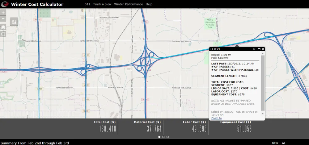
    Real-time winter visibility from Esri
    Keeping the roadways clear during the winter months has become smarter and more transparent at the Iowa Department of Transportation.
  • January 24, 2012
    Improve and increase mass transit systems to minimise congestion
    Rather looking to solve congestion by spreading the load, perhaps we need to look at concentrating it. Michael L. Sena writes. We humans were made to walk and run at embarrassingly slow speeds by comparison with other, more fleet-footed organisms. The sea is not our natural habitat and we were definitely not designed to fly unaided. Nevertheless, humankind has evolved a method of living during the past century that is dependent on transporting its members over very long distances during relatively short per
  • November 23, 2017
    Mobility pricing offers new tools for managing mobility
    Mobility pricing is the best way of sustaining and enhancing mobility, argues Moving Forward Consulting’s Josef Czako. Mobility pricing (MP) is effectively the culmination of the ‘user pays’ principle and has been referred to in many policy discussions about electronic toll collection, road user charging (RUC), and pricing. MP not only reflects the ‘use more, pay more’ nature of RUC, it also takes account of the external cost of journeys including pollution, noise, the cost of congestion and accidents.