Dura-Line lays fibre along Ohio’s Smart Mobility Corridor

The Ohio Department of Transportation recently installed Dura-Line’s 7-way FuturePath fibre network alongside its 35-mile Smart Mobility Corridor - a limited access, four-lane highway designated by the state as a test site for smart transportation technology. As transportation networks increasingly rely on connectivity and the availability of big data, communications infrastructure needs to provide sufficient bandwidth and speed to support equipment for monitoring traffic and self-driving cars and convey
June 7, 2018 Read time: 2 mins
Joseph Lange of Dura-line

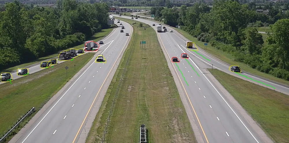
The Ohio Department of Transportation recently installed 8802 Dura-Line’s 7-way FuturePath fibre network alongside its 35-mile Smart Mobility Corridor - a limited access, four-lane highway designated by the state as a test site for smart transportation technology.

As transportation networks increasingly rely on connectivity and the availability of big data, communications infrastructure needs to provide sufficient bandwidth and speed to support equipment for monitoring traffic and self-driving cars and convey that data back to research and manufacturing centres.

Dura-Line’s FuturePath consists of seven individual MicroDucts bundled under one over-sheath, allowing a single conduit to carry multiple pathways - enough to handle today’s connectivity demand while providing the scalability to meet future needs. Installation was made by a combination of vibratory ploughing and horizontal directional drilling, both common underground installation techniques.

The Ohio Smart Mobility Corridor links will allow premier automotive testing, research and manufacturing facilities to test smart transportation technologies on a highway that carriers up to 50,000 vehicles per day through rural and urban settings in a full range of weather conditions.

This data will also provide more frequent and accurate traffic counts, weather and surface condition monitoring and incident management improvements.

Booth 747

For more information on companies in this article

Related Content

  • Innovation in progress: DriveOhio takes the lead in ITS
    October 8, 2020
    Ohio has many entities involved in autonomous and connected technologies, and DriveOhio, the centre for smart mobility, brings them under one umbrella. Projects across the state are driving its preparation and leadership for the future of mobility, and Bosch is a key partner.
  • Cooperative driving will become common by 2020, say researchers
    July 1, 2015
    The international Celtic Plus Co-operative Mobility Services of the Future (CoMoSeF) project which, involved the development of data exchange between vehicles and infrastructure, has just presented its findings. The resulting communication system provides drivers with real time information on road weather, road conditions and incidents. During the project a cooperative roadside weather monitoring station run by the Finnish Meteorological Institute relays the latest reports – and weather updates covering
  • Sensor technology advances increases ITS opportunities
    March 16, 2016
    Basler’s Enzio Schneider explains why advances in CMOS technology provides new opportunities for vision-based ITS applications. Since the beginning of 2015, or even before, it seems obvious that all roads in vision-based ITS applications lead in one technological direction – CMOS. Initially perceived as a trend in vision technology, it has taken a step towards status as the new benchmark with Sony’s announcement to discontinue their CCD production. CMOS sensor technology has become the future for industrial
  • Travel information is heading towards smartphones
    January 30, 2012
    Travel information services are undergoing a step change as rapid increase in sales of smartphones brings ITS technology to consumers' fingertips. A virtuous circle of expanding capability is under way in traffic and travel information services, promising much for drivers and reduction of road congestion. A recent rapid rise in sales of smartphones has boosted numbers of vehicles carrying GPS enabled devices and so brought expansion of traffic data available for analysis and dissemination. Greater numbers o