Cognitive Technologies launches 4D Radar for self-driving cars

Cognitive Technologies says its 4D Imaging Radar for self-driving cars carries out vertical scanning without using mechanical components and can detect objects with an accuracy over 97%. The 4D radar is expected to detect the coordinates and speed of the road scene objects as well as their shape during all weather conditions. According to Cognitive, the solution supports SAR (synthetic-aperture radar) technology which is used to build a map of the environment around the vehicle. This technology also all
February 21, 2019 Read time: 2 mins
Cognitive Technologies says its 4D Imaging Radar for self-driving cars carries out vertical scanning without using mechanical components and can detect objects with an accuracy over 97%.


The 4D radar is expected to detect the coordinates and speed of the road scene objects as well as their shape during all weather conditions.

According to Cognitive, the solution supports SAR (synthetic-aperture radar) technology which is used to build a map of the environment around the vehicle. This technology also allows the car to see potholes and curbs.

The radar detects objects at a distance of 300m in a range of azimuth angles greater than 100 degrees and elevation angles up to 20 degrees, the company adds.

An azimuth is the angle formed between a reference direction and a line from the observer to a point of interest.

Also, the product comes with video cameras and cognitive low-level data fusion technology to offer improved computer vision capabilities.

Olga Uskova, president of Cognitive Technologies, says the company intends to produce up to 4.5 million radars per year by 2022.

Related Content

  • Plate matching technology more accurate than conventional OCR
    February 3, 2012
    EngiNe srl's patented Plate Matching technique is something of a paradox, in that it achieves formal vehicle identification without recognising, in the accepted sense, the characters on its number plate. Here, Angelo Dionisi of ENG Group explains how it works
  • Inertial sensors dramatically improve GNSS for ITS applications
    January 18, 2012
    Phil Harris, Thales UK, on how fused sensor data can significantly enhance GNSS-based positioning systems' performance in urban areas. Global Navigation Satellite System (GNSS)-based positioning is unique among available positioning technology due to its universal coverage and low equipment cost. By measuring the distances between an unknown position (such as a vehicle), and at least three known positions (GPS satellites), the unknown position can be calculated in three dimensions (latitude, longitude, and
  • Entering the ANPR sector with Plate-i Dome
    April 11, 2024
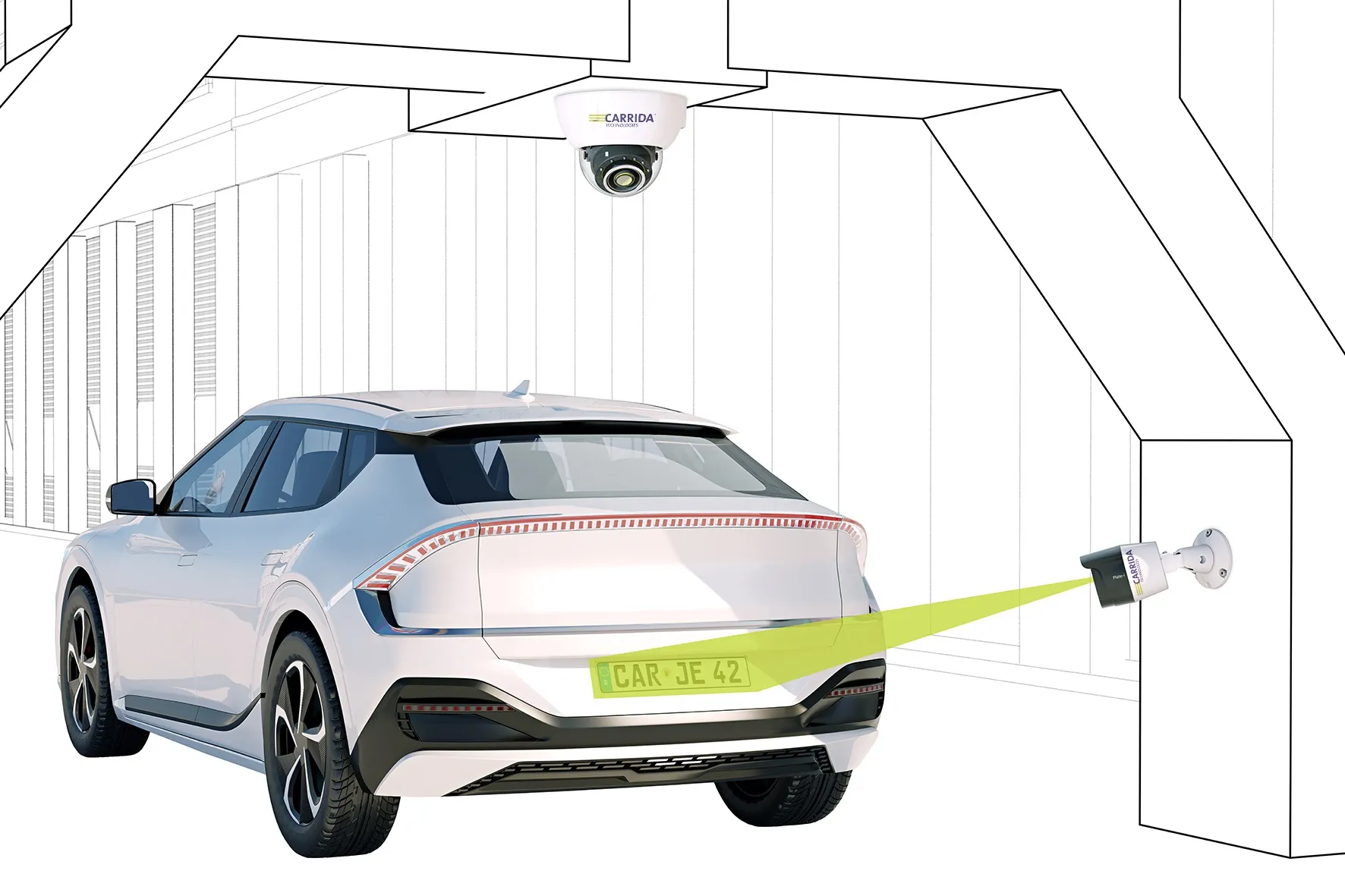
    Carrida's product is an 'entry-price' camera with a large detection range of 16m
  • Semi-autonomous hybrid vehicle trials show fuel, emission savings
    July 16, 2012
    The Transport Research Laboratory has unveiled an innovative semi-autonomous vehicle prototype. It offers improves in environmental performance and safety but also displays some shortcomings. Mike Woof reports. The UK's Transport Research Laboratory (TRL) has been working on an innovative project to develop a prototype vehicle intended to reduce fuel consumption. Based on a Ford Escape hybrid model, TRL's Sentience vehicle uses a combination of mobile communications and mapping technologies to reduce fuel c