Utah statewide deal for Causeway One.network Live Link

Operators can use app to communicate lane closures to drivers
By Adam Hill May 28, 2025 Read time: 2 mins
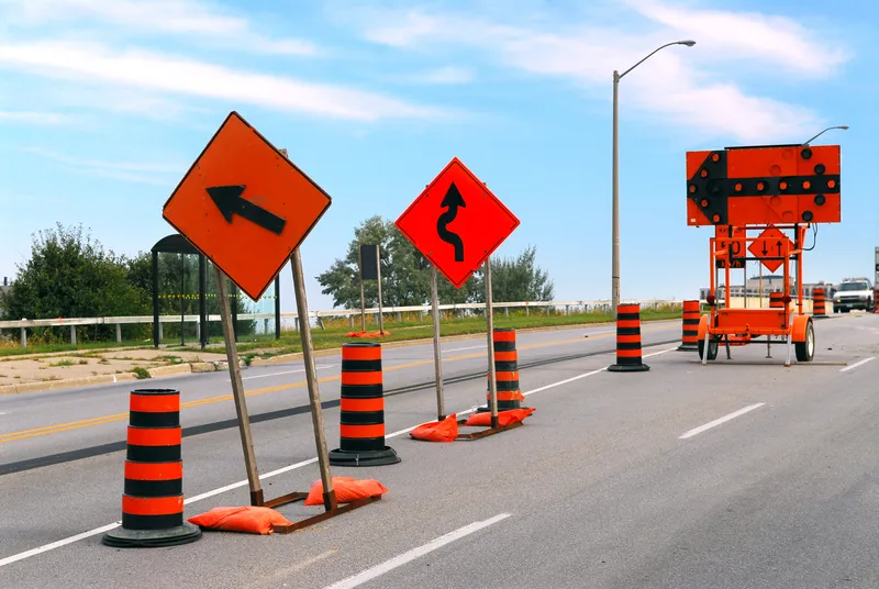
In 2023, 899 people in the US died as a result of workzone crashes (© Elena Elisseeva | Dreamstime.com)

Utah Department of Transportation has awarded a statewide contract to Causeway one.network to provide its Live Link and traffic management software.

Both solutions aim to simplify the process of closing traffic lanes while helping improve safety for drivers and workzone crews.

This is a major issue: in 2023, 899 people in the US died and thousands more suffered life changing injuries as the result of workzone crashes.

Live Link allows authorised operators to communicate road and lane closures to drivers from the site, using an app, via navigation tools such as Google Maps, Waze, TomTom and Apple Maps.

“Communicating roadway disruptions quickly and efficiently is the most effective strategy to keeping people safe and maintaining traffic flow,” says Paul Madeira, Causeway Technologies chief international growth officer.

Utah DOT and its contractors will be able to plan, coordinate and communicate any type of road event and associated traffic management plans, including detours and unplanned incidents, through the platform. 

In the US, Causeway's Live Link, Plan Share and Traffic Management solutions are in use throughout Florida, Texas, Southern Nevada and California.

Florida DoT already uses Live Link for the agency’s Lane Closure Notification System (LCNS), which has posted over 50,000 workzone closures to date.

“I believe the widespread adoption of our solutions and our US trajectory is validation of our platform, but also our safety and efficiency promise to American agencies, workzone employees and the driving public," Madeira concluded.

For more information on companies in this article

Related Content

  • Affordable and versatile traffic data
    January 20, 2012
    Houston TranStar, which has been collecting travel time and segment speed data using vehicle probe data since 1995, has an extensive coverage area that envelops most local commuters' daily freeway routes. However, expanding the existing Automated Vehicle Identification (AVI) system would be cost-prohibitive except for high-volume freeways. The partners of the Houston TranStar consortium needed a new method to measure speeds and travel times on arterial roadway systems and rural freeways. Instead of using co
  • Should it be end of the road for right-turns on red?
    April 10, 2024
    Banning right-hand turns after stopping for a red light is gaining momentum in the US. But the debate continues about whether it will result in fewer incidents between vehicles and alternative mobility users. David Arminas reports
  • US 511 system, the future of traveller information?
    April 23, 2013
    What started out at the turn of the millenium as a simple dial-up travel information service has grown out of all recognition in the digital age. Pete Goldin surveys the development to date of the US 511 traveller information system. In a little over a decade, 511 has gone from its original intent – a collection of recorded messages accessible via phone for pre-trip planning – to a network of dynamic traveller information services provided by states and cities throughout the US, offering access to a wide v
  • CerebrumX thinks hard about first responders
    October 26, 2022
    Data specialist partners with RTC on RoadMedic to reduce 911 response times