
Transport and technology innovation from South Australia

The Adelaide-headquartered Department for Planning, Transport and Infrastructure has partnered with Sydac and Sage Automation to showcase South Australian transport and technology innovation at the ITS World Congress Melbourne. Visitors to the stand (2213) will be able to try rail and bus training simulators, as well as check out Addinsight, a freeway and arterial road incident detection and congestion management system.
September 7, 2016 Read time: 2 mins

The Adelaide-headquartered Department for Planning, Transport and Infrastructure has partnered with 8498 Sydac and 8499 Sage Automation to showcase South Australian transport and technology innovation at the ITS World Congress Melbourne. Visitors to the stand (2213) will be able to try rail and bus training simulators, as well as check out 8497 Addinsight, a freeway and arterial road incident detection and congestion management system.

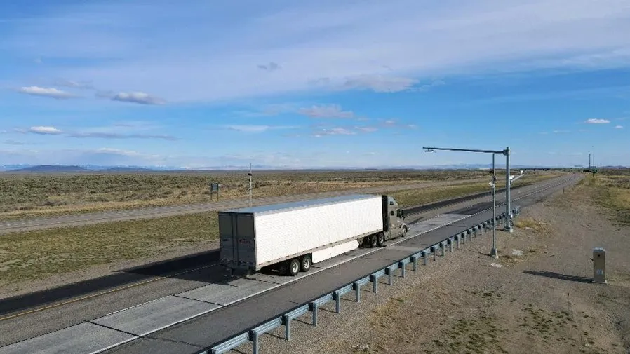
The Addinsight traffic intelligence system uses probe data collection stations to constantly monitor traffic flows in real-time. It uses machine learning to identify travel time patterns for every road segment, allowing it to differentiate between abnormal and recurring congestion.

When Addinsight detects road segments experiencing delays higher than expected, the field devices automatically start broadcasting alert information at locations approaching the congestion via Bluetooth Low Energy advertising packets. Motorists with the Addinsight smartphone app receive a spoken alert from their phone’s speaker or paired car stereo about the location, cause of the problem, and amount of additional delay. Only motorists heading towards the problem are notified. Broadcasts are disabled once conditions return to normal.

The entire process is fully automated, allowing traffic management centres more time to manage the incident.

The Addinsight broadcasting system converts every collection station into a virtual VMS, giving road authorities the ability to instantly send customised and location-specific information to motorists without expensive physical infrastructure.

Visitors to the stand also will have a chance to experience the Sydac truck simulator – a powerful and flexible training system for professional drivers. Features include customisable high fidelity truck dynamic modelling, automatic or manual gearbox, engine brake and service brake, anti-lock braking, lane departure warning system, puncture simulation, configurable weather and variable road adhesion (rain, ice).

For more information on companies in this article

Related Content

  • IRD: from the ground up
    September 16, 2021
    IRD is undertaking a comprehensive review of its road safety and monitoring solutions. A series of initiatives is building on the company’s in-pavement expertise, bringing considerable additional value for the customer to the traditional range of products while complementing these with wholly new technologies
  • Hot spot detector prevents road tunnel fires
    December 9, 2013
    Sick’s new hot spot detector system proved its worth only one week after being installed by preventing a fire in the Karawanks Tunnel, Austria. A semi-trailer truck with a wheel temperature exceeding 200 degrees centigrade triggered the alarm as it passed the hot spot detector. Closer inspection indicated that in addition to the overheated brake, the vehicle was also travelling with two cracked brake discs. Developed by Sick’s Swiss subsidiary ECTN and based on the Sick LMS511 laser sensor with the T
  • Arizona DoT trials dust-warning system along I-10
    November 21, 2019
    Arizona Department of Transportation (ADoT) has developed a system to tell drivers to slow down on part of Interstate 10 (I-10) where blowing dust reduces visibility.
  • UK drivers get real time traffic information boost
    August 9, 2012
    The UK Highways Agency is trialling a system to add commercially available traffic data to its existing sources to monitor how well traffic is flowing on England's motorways and strategic roads. Similar data sources are already used by satellite navigation devices, smartphones, and applications like Google maps. Better real-time data will allow agency staff to respond more quickly to incidents and identify delays and communicate them to drivers so they can take alternative routes if necessary.