GMV develops app to inform travellers of bus status in real time

GMV has developed the Toledo Bus app to provide users with real time information of the City’s urban transport network. It is part of a plan carried out by Unauto in collaboration with GMV to modernize the public bus fleet. Users can locate the different lines and stops around their current location or any others that are manually entered from the main window of the app after enabling the geolocation permission of the terminal. The 'how to get there' feature reveals the shortest route between two locations
November 22, 2017 Read time: 2 mins

55 GMV has developed the Toledo Bus app to provide users with real time information of the City’s urban transport network. It is part of a plan carried out by Unauto in collaboration with GMV to modernize the public bus fleet.

Users can locate the different lines and stops around their current location or any others that are manually entered from the main window of the app after enabling the geolocation permission of the terminal. The 'how to get there' feature reveals the shortest route between two locations and is planned through Google maps.

Additionally, the application shows information related to the different lines, routes and bus stops that make up the topology of the urban transport in the city and provides real time information of the estimated times of passage by the stop. This temporary information will also be shown in the 93 information panels that GMV will provide as part of the scope of the project; the panel locations are currently being defined by the city of Toledo itself.

Based on the frequency of use, the user can select favourites or more stops to facilitate future searches.

The rest of the additional information related to the city is available and updated through the website of the city of Toledo, which can be launched from the main window of the app.

For more information on companies in this article

Related Content

  • Cubic’s holistic view of traffic management
    May 25, 2022
    How can cities and transit agencies ease congested roadways? Andy Taylor of Cubic Transportation Systems suggests it would help to take a more holistic view of the problem
  • EU research develops method for evaluating critical infrastructure
    January 10, 2013
    The European Commission’s SeRoN research project has drawn to a close, having developed a sophisticated method of identifying and quantifying threats to critical infrastructure. In December 2008 the European Commission published the directive 2008/114/EC on the identification, designation and assessment of the need to improve ‘European critical infrastructure’. In line with the objectives formulated in this directive, the SeRoN (Security of Road Transport Networks) research project was established in Novemb
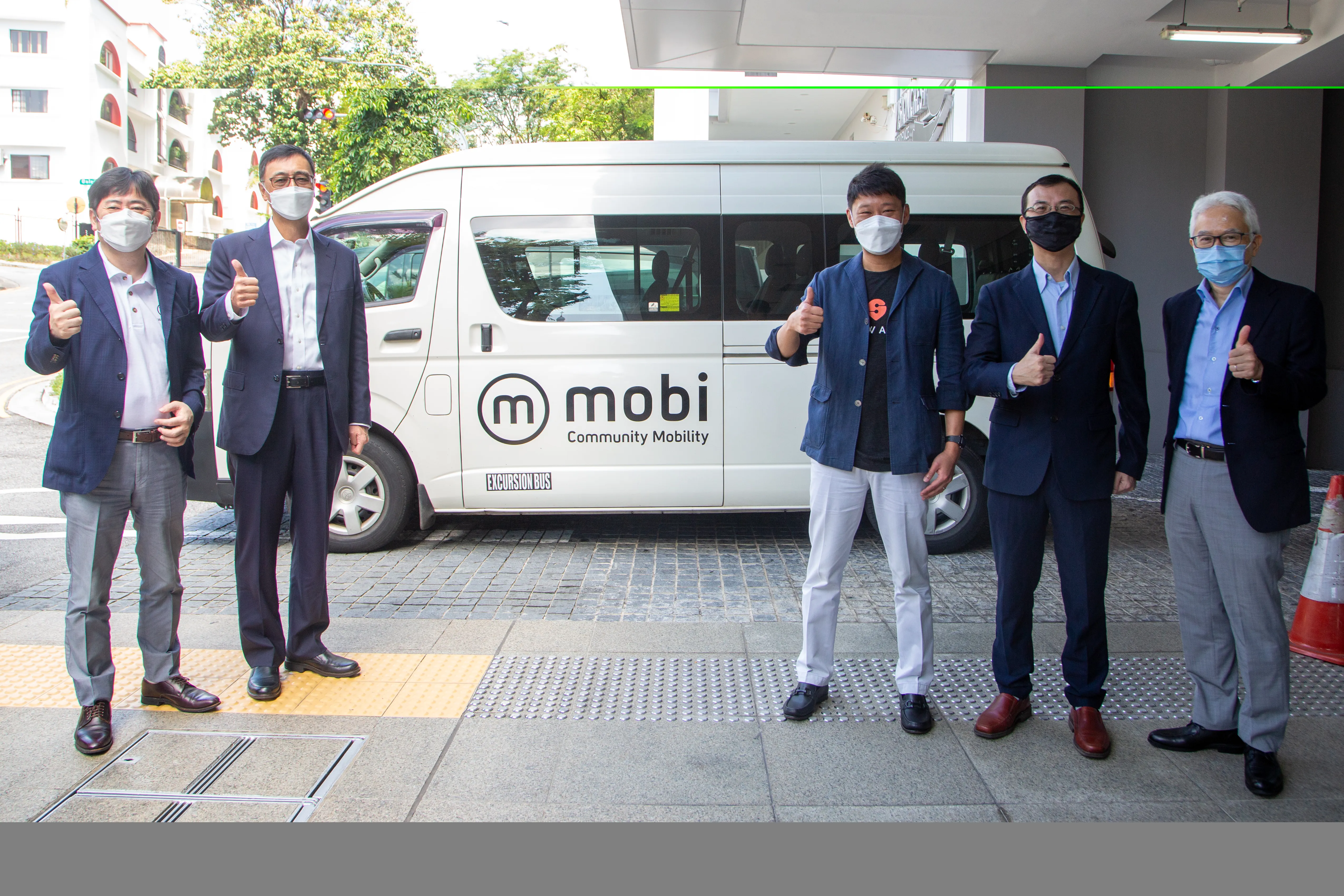
  • Willers brings Mobi shuttles to Singapore
    January 14, 2022
    Mobi uses Swat's AI technology, with optimal routing capability
  • Mayor unveils expanded traffic-busting plans to keep London moving
    September 30, 2015
    The Mayor of London, Boris Johnson, has unveiled the new measures Transport for London (TfL) is introducing to ease traffic in the capital and minimise disruption on the roads as major work to improve the network continues as part of the Mayor’s US$6 billion Road Modernisation Plan. The innovations include: Trials of new technology - for the first time on the TfL road network a new generation of digital road signs will provide people with real-time information on journeys using major routes into London.