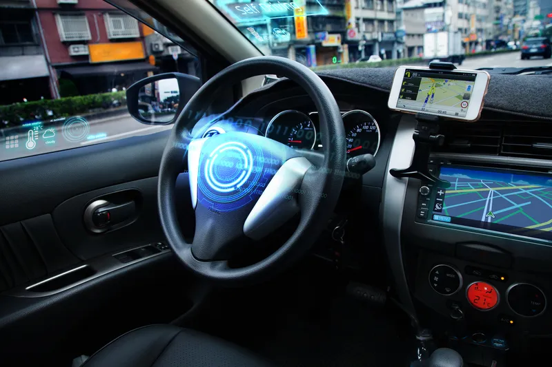
Autonomous vehicle accuracy mapping from TomTom

Pride of place on satellite navigation pioneer TomTom’s stand is very high resolution 3D mapping, initially for Germany, which it says provides the 10cm accuracy necessary for highly automated vehicles. Its mainstream mapping is also high definition meaning the image can be used on any size of screen – as visitors can see.
October 8, 2015 Read time: 2 mins
Matthieu Campion of TomTom with the company's technology

Pride of place on satellite navigation pioneer 1692 TomTom’s stand is very high resolution 3D mapping, initially for Germany, which it says provides the 10cm accuracy necessary for highly automated vehicles. Its mainstream mapping is also high definition meaning the image can be used on any size of screen – as visitors can see.

Also highlighted is the company’s smartphone navigation app – increasingly favoured by occasional users of navigation services while it finds regular users such as delivery drivers are staying with dedicated devices. 
Marketing manager, automotive, Matthieu Campion said his company has many reciprocal agreements with road authorities to both receive and deliver traffic information and is working on algorithms to predict traffic conditions over the coming 15 minutes.  

And with changes happening on 15% of major routes each year, the company is working on speeding the verification and map updating process to a matter of a few days, or potentially hours, rather than weeks or a month as it is currently. “Much depends on where the users’ maps are actually located; in their devices (which are currently updated quarterly) or on our servers which can be readily updated,” says Campion.

There is currently discussions with the vehicle manufacturers about a strategy for high frequency updates and whether to update the area around the vehicle or along the selected route.

Related Content

  • April 6, 2018
    The importance of going with the flow
    Ensuring worker safety and up-to-date driver information is crucial to ensure that roadworks are not a source of danger and delay. Andrew Williams looks at a scheme on the A14 in Cambridgeshire, UK. In recent years, portable workzone ITS solutions have emerged as important tools in the management of major roadworks and system upgrade projects - and are viewed as an increasingly vital means of ensuring any ongoing traffic flow disruption is kept to a minimum. The technology forms a central component of an
  • September 25, 2019
    Where is tolling tech taking us?
    From DSRC and RFID to GNSS or smartphones – which technology is ‘best’ for tolls, charging and pricing schemes? In the first of two articles, Josef Czako examines the options
  • January 26, 2021
    TomTom to aid AV development
    Navigation specialist is joining Autoware to further test its AutoStream solution
  • February 1, 2012
    Cooperative road infrastructures - progress and the future
    Robert Bertini, deputy administrator of the USDOT's Research and Innovative Technology Administration, discusses the research and deployment paths of cooperative road infrastructures. High-level analysis by the US's National Highway Traffic Safety Administration (NHTSA) of the potential of Vehicle-to-Infrastructure/Infrastructure-to-Vehicle (V2I/I2V) and Vehicle-to-Vehicle (V2V) technologies indicates that V2V could in exclusivity address a large proportion of crashes involving unimpaired drivers. In fact,