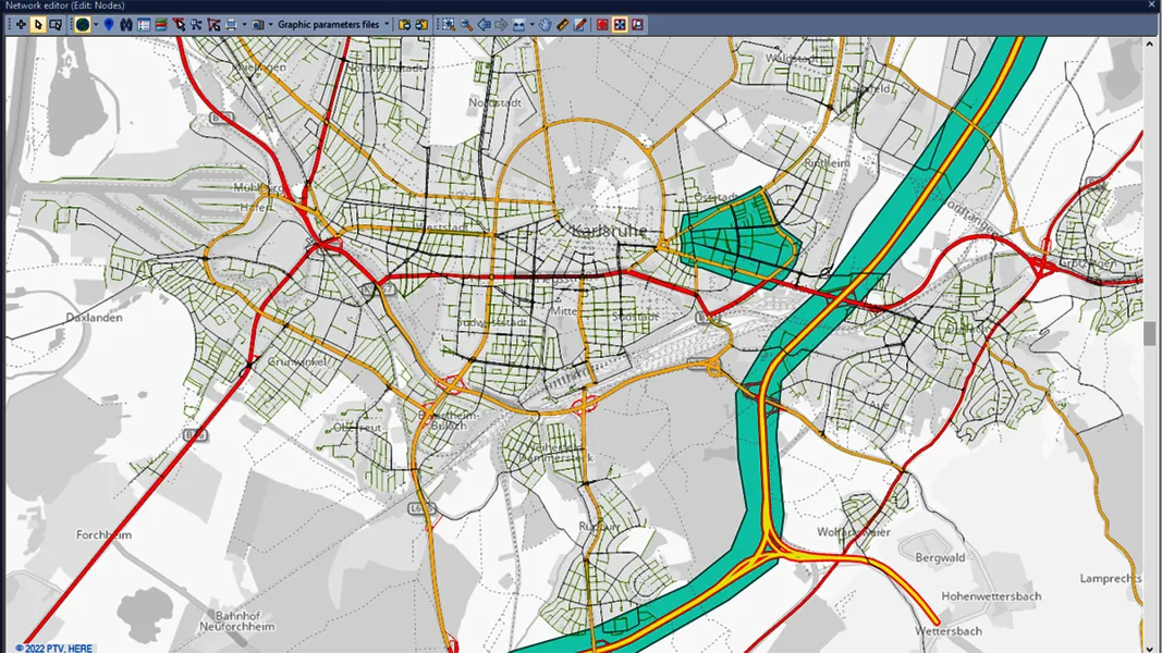
Wejo has launched three products using connected vehicle data which it says can pinpoint where and when traffic is going to build up.
Wejo founder Richard Barlow says the company has curated more than 130 billion miles of data, showing “the positive impact connected vehicles have on solving some of today’s biggest challenges facing road users”.
He adds: “Drivers get direct benefits from sharing their connected vehicle data enabling their journeys to be faster, safer and less polluting.”
The compan
Wejo has launched three products using connected vehicle data which it says can pinpoint where and when traffic is going to build up.
Wejo founder Richard Barlow says the company has curated more than 130 billion miles of data, showing “the positive impact connected vehicles have on solving some of today’s biggest challenges facing road users”.
He adds: “Drivers get direct benefits from sharing their connected vehicle data enabling their journeys to be faster, safer and less polluting.”
The company says its Live Traffic solution removes the guesswork from congestion monitoring, toll road use and signalling, using speed and direction of travel to provide real-time traffic information.
Additionally, the Traffic Intelligence platform is expected to help users understand and manage seasonal traffic, model travel times and plan more efficient routing during construction projects or major sports events. The solution pinpoints vehicle volumes to identify trends and predict driver behaviours, the company adds.
Wejo claims its Hotspot Intelligence product collates patterns of harsh speeding and braking, helping departments of transport and other road safety management agencies to identify correlations between driver behaviours and incident blackspots.
According to Wejo, this solution can identify potential causes and maps areas with similar behaviours to help users take action on improving signage, signals and road layouts.