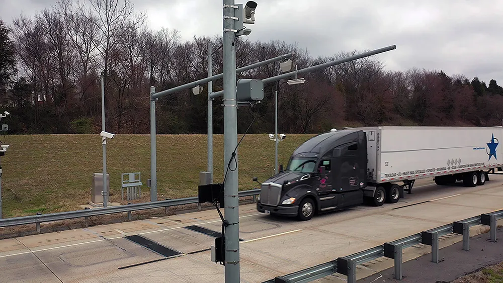
TIC502 has a range of up to 40 metres and minimum mounting height of 1.5 metres above the tallest vehicle. It aims to provide a vehicle class assignment better than 98% and speed assessment accuracy is +/- 3kph up to 100kph, and +/- 3% above 100kph.
Vehicle class is measured according to TLS8+1, TLS5+1, TLS2+1 or Swiss10, into up to 30 different classes. The 3D view of traffic is integrated into a display and autocalibrated with moving traffic.
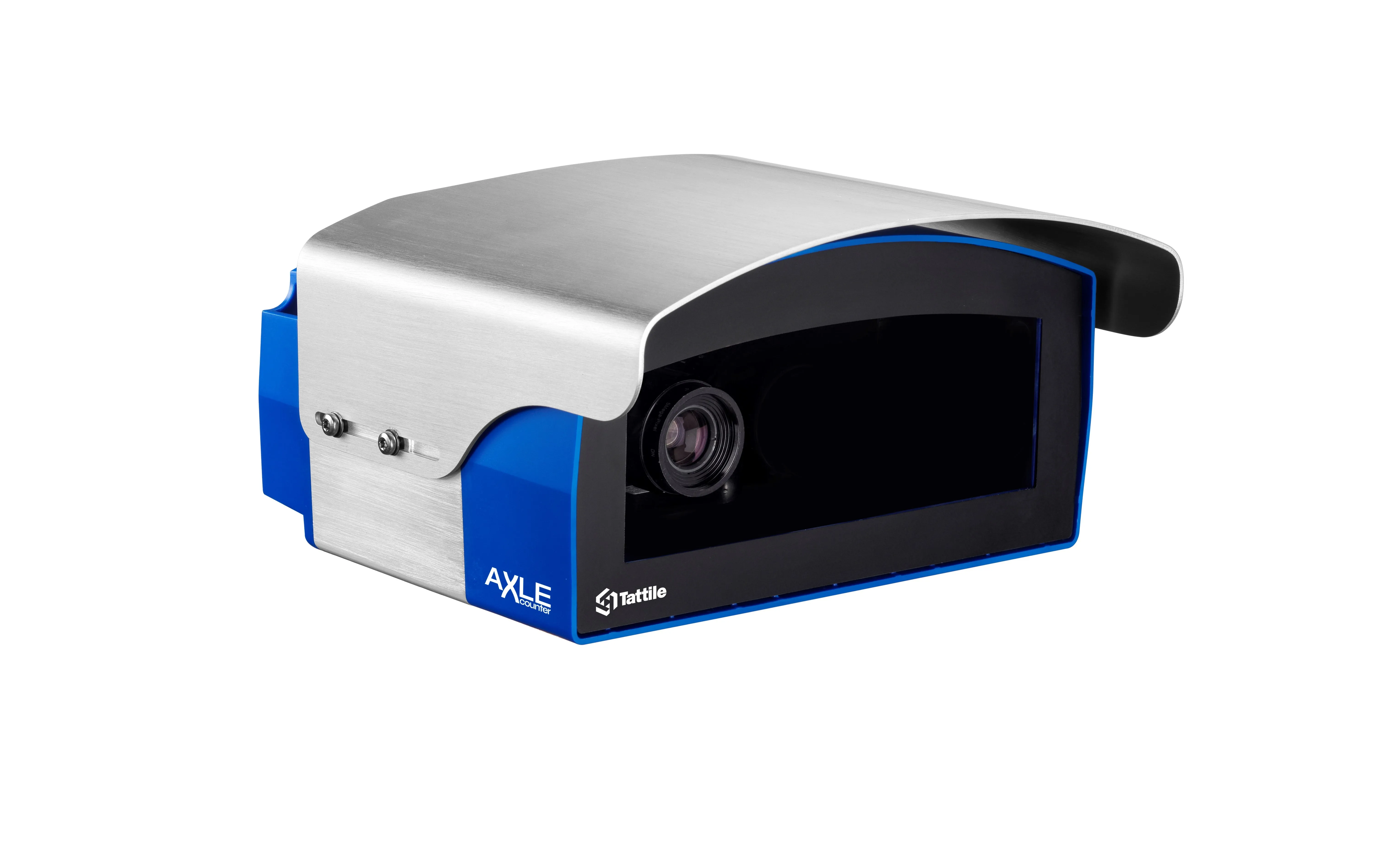
Additionally, the solution comes with a high all-weather capability between -40oC and +60oC and can also be combined with an additional 2D Lidar sensors to count axles for traffic profiling and assessment.
The traffic controller automatically stores a data history of the last 50 vehicles detected which is sent to storage in the user’s system via FTP or UNC transmission.
Neil Sandhu, SICK’s National product manager for imaging, measurement, ranging and systems, said: “The TIC502 generates 3D profiles and combines comprehensive and highly reliable data and warnings with excellent availability in all weather and all seasons. The unit can also be easily retrofitted on structures such as overhead gantries, bridges or tunnel entrances to upgrade existing traffic monitoring and control.
“The facility for adding an extra Lidar sensors to the TIC502 allows accurate axle counting, which is often used for improved toll assessment of very heavy transport vehicles, without needing the use of a full vision system.”
SICK launches all-weather 3D sensor system for traffic management
Sick has launched the TIC502 Lidar sensor traffic and warning system which is said to scan vehicles up to 100 times a second with 99% accuracy to generate a 3D profile of each vehicle. The all-weather solution can be used for counting fast lane, free-flowing and static traffic to facilitate real-time management and electronic toll charge assessment of all vehicle types according to standard international transport classifications. TIC502 has a range of up to 40 metres and minimum mounting height of 1.5