Topcon mapping system

Topcon Positioning Systems (TPS) has announced an addition to its offering of high-accuracy, mobile mapping solutions. The IP-S2 HD Mapping System is a vehicle-mounted surveying and mapping system featuring a high-definition LiDAR scanner from Velodyne Lidar.
February 6, 2012 Read time: 2 mins
2258 Topcon Positioning Systems (TPS) has announced an addition to its offering of high-accuracy, mobile mapping solutions. The IP-S2 HD Mapping System is a vehicle-mounted surveying and mapping system featuring a high-definition LiDAR scanner from 2259 Velodyne Lidar.

The system incorporates state-of-the-art technologies, including high-precision GNSS receivers, IMU (inertial measurement unit), vehicle wheel encoder, 360o digital cameras and Velodyne's HDL-64E S2.2 LiDAR scanner. It is designed so users, while driving the system-mounted vehicle at normal traffic speeds, can collect precise vehicle position/bearing data and spherical imagery of roadside objects such as sidewalks, buildings, tunnels, bridges and overpasses. The addition of Velodyne's LiDAR sensor is designed to allow vehicle operators to acquire very dense point clouds while travelling at posted speed limits even in inclement weather.

According to Dave Henderson, TPS 3D mobile mapping national sales manager, with the IP-S2 HD a single crew with a single user-supplied vehicle can acquire a complete dataset while driving, providing a revolutionary mobile data collection solution.

"Geo-referenced spatial data and colourful imagery allows users to easily identify features, assign attributes and export data to various CAD and GIS applications," he says, adding that the system significantly increases safety by eliminating the risk of working in busy streets and highways. Moreover, it allows for more coverage and increased productivity compared to traditional methods. "Users gain additional cost savings as the initial dataset can be accessed as frequently as needed and features can be extracted at any time, eliminating time-consuming returns to the field."

Related Content

  • November 26, 2013
    Lidar technology wins big in China’s autonomous vehicle challenge
    China’s fifth annual Future Challenge earlier this month pitted eleven unmanned intelligent vehicles against each other on a course designed to test their capabilities in suburban and urban road tests, over a 23-kilometre course. All of the first eight cars to finish were equipped with Velodyne’s 3D Lidar vision technology which provides active sensing for crash avoidance, driving automation and mobile road survey and mapping. Velodyne HDL-64E and HDL-32E sensors deliver 360-degree views of the car’s env
  • February 23, 2017
    LiDAR sets its sights on future problems
    AAdvances in LiDAR are helping transport authorities improve services and identify potential problem areas, as geospatial technology expert Dr Neil Slatcher explains. The effects of climate change on the transport infrastructure have long been a cause of concern within the transportation sector - and not only on the structures themselves but also on the surrounding areas. This year, those concerns have become reality with landslides, structural collapses and surfacing issues impacting services across the wo
  • February 21, 2023
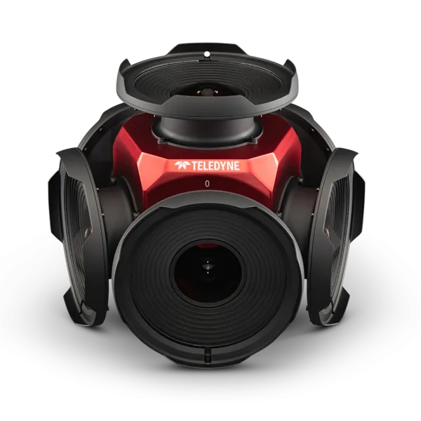
    Teledyne positions itself with Ladybug6
    Camera captures 360° images from moving platforms for HD mapping and asset inspection
  • June 29, 2021
    Can AV mapping rely on crowds?
    Mapping tech companies need to expand their data inputs beyond crowdsourcing in order to maintain temporally accurate maps at scale, says Ro Gupta at Carmera