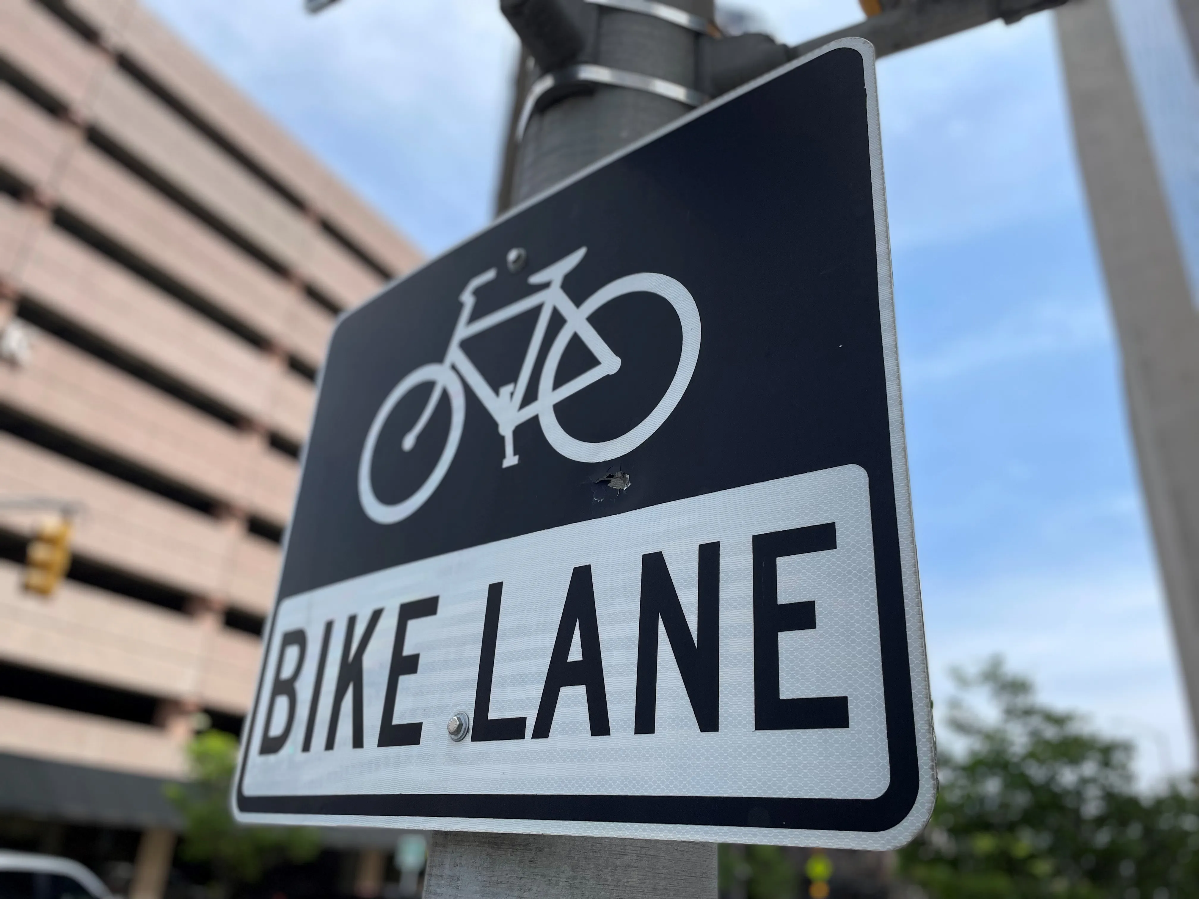
The plan will seek to create more than 50km of protected on-road bicycle lanes and establish pedestrian shared priority zones with lower speed limits.
Sally Capp, lord mayor of Melbourne, says: "The strategy, to be considered by councillors, aims to upgrade public space and amenity around major public transport hubs, increase space and accessibility for pedestrians and boost bicycle safety with dedicated bike lanes."
Over the next four years, protected bike lanes will be introduced on Exhibition Street, Latrobe Street Bridge and Rathdowne Street.
Other key projects include adding 300 new on-street motorcycle parking spaces and working with the Victorian Government to deliver consistent 40 km/h vehicle speed limits across the municipality.
Councillor Nicolas Frances Gilley, chair of the transport portfolio, says inconsistent speed zones on local streets within the municipality - as well as neighbouring ones - is a challenge for drivers.
"Parkville, Yarra's Edge and other city fringe suburbs are all built-up areas with schools, shops, parks and lots of pedestrians and cyclists,” he continues. “By bringing them into line with 40km/h it would be much simpler for motorists, will avoid dangerous sudden stoppages and be much safer for people walking and riding bikes.”
A collaboration with the Victorian government will review traffic signal timing to reduce delays for people using the network, including those using trams, buses and bikes.
Additionally, the council is hoping to lower the speed limits for some ‘little streets’ to 10km/h to improve safety for people walking in the city centre.
Authorities will also continue to advocate for a tram extension to Fishermans Bend to aid the development of the area and for the Melbourne Metro 2 rail link as a priority infrastructure rail link for west and north parts of the city.
Melbourne to ‘increase non-car road space’ over 10 years
The Australian city of Melbourne is proposing a 10-year plan to deliver more space for pedestrians, public transport users and cyclists.
November 5, 2019
Read time: 2 mins


