Google Maps to include first and last mile options

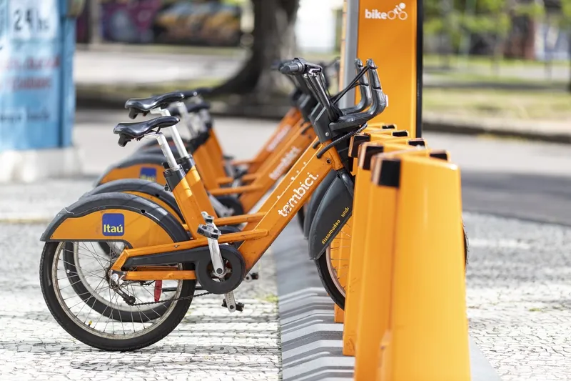
Google is to pair transit directions with bike- and ride-share options within Google Maps in a bid to improve first and last mile journeys. Google says users will be able to enter their destination in the search box, tap ‘Directions’ to see routes that feature ride-share and cycling options paired with transit directions. For ride-sharing, individuals can view information on how much the ride will cost, waiting time, traffic lights and an option to choose their favourite provider. Cyclists will be able
September 3, 2019 Read time: 1 min

1691 Google is to pair transit directions with bike- and ride-share options within Google Maps in a bid to improve first and last mile journeys.

Google says users will be able to enter their destination in the search box, tap ‘Directions’ to see routes that feature ride-share and cycling options paired with transit directions. For ride-sharing, individuals can view information on how much the ride will cost, waiting time, traffic lights and an option to choose their favourite provider.

Cyclists will be able to view tailored routes with information on the transit portion of the journey, which is factored into the total travel time and estimated time of arrival, the company adds.

For more information on companies in this article

Related Content

  • Otonomo data helps LatAm bike-share
    March 23, 2022
    Brazil bike-share operator Tembici looks to expand in LatAm with data-driven decisions
  • Sony helps Rio get a better view of the Olympics
    June 29, 2016
    With the Olympics approaching, Sony’s Stephane Clauss examines how the latest camera technologies can help cities cope with the huge crowds attending major events. This August will see more than 10,000 athletes head to Rio de Janeiro for the Olympics Games. Alongside them will be their coaching staff, a hoard of logistics teams, thousands of volunteer marshals (London 2012 had 70,000) and millions of spectators. All such major events have nervous jitters on the way to the opening ceremony. This year has see
  • New York bus passengers get real time bus information
    October 30, 2012
    Bronx bus passengers will soon be able to avoid waits at bus stops and get bus-arrival information on their home computer, smartphone or mobile phone. With MTA Bus Time, passengers can access a map showing where buses are along a particular route. They can also request a text telling them where the nearest bus is on the route. Developed by New York’s Metropolitan transit Authority (MTA), Bus Time uses accurate location data provided by an enhanced GPS device mounted inside each bus. That information is int
  • EVs & smart cities: Tritium keeps things moving
    December 3, 2018
    Electric vehicles are widely expected to play a major role in the smarter, cleaner cities of the future. Paul Sernia explains why – and looks at the place of ultra-rapid chargers as part of a versatile public infrastructure Electric vehicles (EVs) are widely expected to play a major role in the smarter, cleaner cities of the future. With no dirty tailpipe, EVs can help improve the polluted air of inner cities. And when deployed as widely shared assets – through car clubs, ride-sharing services and taxi