Tour de France organisers TdFHUB2014 Ltd will be using traffic intelligence supplied by Inrix to help minimise traffic congestion and potential disruption around this year’s event.
The UK will host the first three stages of the world’s largest annual sporting event, visiting Leeds, Harrogate, York, Sheffield, Cambridge and London, with huge crowds expected to watch the race from the roadside.
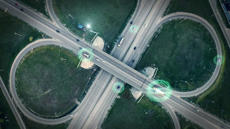
Inrix will assist TdFHUB2014 Ltd to plan and respond to any incidents by providing Inrix Radio and the Inrix
Tour de France organisers TdFHUB2014 Ltd will be using traffic intelligence supplied by 163 Inrix to help minimise traffic congestion and potential disruption around this year’s event.
The UK will host the first three stages of the world’s largest annual sporting event, visiting Leeds, Harrogate, York, Sheffield, Cambridge and London, with huge crowds expected to watch the race from the roadside.
Inrix will assist TdFHUB2014 Ltd to plan and respond to any incidents by providing Inrix Radio and the Inrix Traffic Map. Using its state-of-the art traffic analysis techniques, Inrix Radio is a localised traffic solution that accurately pinpoints traffic delays and incidents on an easy-to-use web page. Inrix Traffic Map displays the current traffic speeds based on a ‘traffic light’ colour coding system on a map. The system is powered by the anonymous monitoring of GPS-enabled devices to produce speeds, delays and travel times.
An Inrix senior operator will be based within the event command and control room to facilitate accurate and speedy dissemination of traffic and travel information to its own team of reporters based at its Nationwide traffic intelligence centres, along with its media clients which include the BBC and numerous national and local commercial radio stations that will be broadcasting across the three UK stage areas.