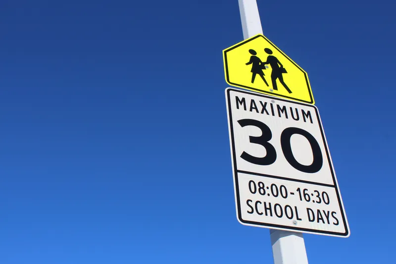
School districts in North Carolina are using new wireless technology to monitor bus driver actions in real time, to provide information about their school buses, improving student safety and creating real time information for parents and administrators.
The technology enables school district officials to see detailed information for each bus in their fleet and receive alerts to ensure drivers travel at safe speeds and stop at rail crossings. Every time the bus stops and opens its doors, information is se
School districts in North Carolina are using new wireless technology to monitor bus driver actions in real time, to provide information about their school buses, improving student safety and creating real time information for parents and administrators.
The technology enables school district officials to see detailed information for each bus in their fleet and receive alerts to ensure drivers travel at safe speeds and stop at rail crossings. Every time the bus stops and opens its doors, information is sent to school officials about the location, time and duration of the stop.
The technology, developed by7461 Synovia Solutions, also boosts bus driver productivity by giving them the ability to clock in or out from the driver's seat. The device helps reduce fuel consumption through a dashboard that highlights issues like excessive idling. One optional component of the school bus tracker enables students to sign in and off the bus using their student ID card, providing parents with confirmation their child arrived safely at school in the morning.
The bus tracker solution also keeps children safe and on time for school by reporting engine updates before the problem worsens and leaves students stranded. School officials are alerted automatically if a bus is running behind schedule.
The technology enables school district officials to see detailed information for each bus in their fleet and receive alerts to ensure drivers travel at safe speeds and stop at rail crossings. Every time the bus stops and opens its doors, information is sent to school officials about the location, time and duration of the stop.
The technology, developed by
The bus tracker solution also keeps children safe and on time for school by reporting engine updates before the problem worsens and leaves students stranded. School officials are alerted automatically if a bus is running behind schedule.