New version of free GIS portal toolkit

To further improve Geographic Information System (GIS) data access over the Web, ESRI has updated its GIS Portal Toolkit for ArcGIS. The toolkit is a free technology and services solution for implementing local, regional, national and global Spatial Data Infrastructure (SDI) portals. The toolkit gives users a website starter and all the functional capabilities needed to deploy a GIS portal for an organisation's SDI.
March 13, 2012 Read time: 1 min
To further improve Geographic Information System (GIS) data access over the Web, 50 ESRI has updated its GIS Portal Toolkit for ArcGIS. The toolkit is a free technology and services solution for implementing local, regional, national and global Spatial Data Infrastructure (SDI) portals. The toolkit gives users a website starter and all the functional capabilities needed to deploy a GIS portal for an organisation's SDI.

Related Content

  • Navteq and Esri Schweiz announce pan-European agreement
    April 18, 2012
    Navteq has established a pan-European reseller agreement with Esri Schweiz under which the GIS specialist will be able to provide customers with a complete set of Navteq geodata which, depending on individual requirements, can be supplied in formats optimised for use within Esri software.
  • Fast and efficient barrier-free electronic toll collection
    May 21, 2012
    Canada’s 407 tolled highway allows non-stop travel and a fast and efficient way of paying for it. Ontario’s 407 ETR highway features one of the most advanced barrier-free and all- electronic toll collection systems in the world. The company that operates the road launched the latest phase of its strategy to provide end-to-end automation in summer 2011. A self-service website is now available, allowing users to view and pay charges online using technology supplied by the international market leaders in e-bil
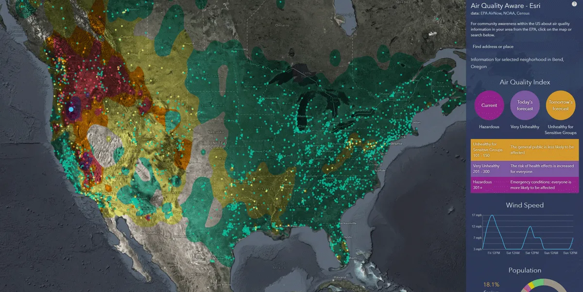
  • Esri exposes US air pollution impact
    October 6, 2020
    App uses data from AirNow programme, American Community Survey and NOAA wind forecast 
  • Webinar: how smart mobility data leads to safer roads
    April 19, 2022
    Free webinar on 28 April features Wejo, Esri, TxDoT & Texas A&M Transportation Institute