Luna unveils ‘cm-level’ positioning for e-scooters

Dublin-based start-up Luna has released a telematic device which it says uses 10cm-level positioning accuracy to help scooter companies ensure their scooters are ridden and parked correctly.
February 17, 2020 Read time: 1 min
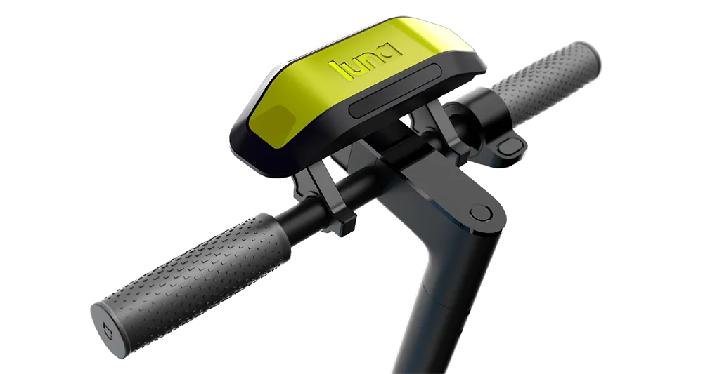
Luna escooter

The device uses GNSS/GPS positioning with an integrated correction service to achieve this accuracy. It also uses machine vision and artificial intelligence (AI) to recognise parking spaces in GPS blackspots via 2D images (QR codes) located in and around the site, the company adds.

According to Luna, the device augments satellite-based positioning with machine vision and AI to overcome GPS blackspots while moving. The unit’s street Vs pavement algorithm allows the scooter camera to analyse the surface it is riding in real time.

Luna’s safety features include obstacle/footpath recognition to prevent pedestrian collisions as well as helmet detection to ensure scooters can only be operated once a rider is wearing their helmet.

Related Content

  • Avoiding the call of the wild
    June 29, 2018
    Hitting an animal on a rural road can be fatal for all parties involved – but detecting and avoiding them requires clever technology. Andrew Williams carefully scans the horizon for details. Wildlife-vehicle collisions are an ever-present threat in rural areas around the world, and there is certainly nothing funny about suddenly finding an angry moose in your headlights on a sharp bend. A variety of detection and avoidance systems are currently in use or under development to help prevent your vehicle being
  • RAC survey shows big safety gains with average speed enforcement
    January 11, 2017
    Cheaper and easier communications are providing authorities with new options for influencing driver behaviour. Colin Sowman reports. It’s official; Average speed cameras (ASCs) cut the number of fatal or serious injury crashes by more than a third.
  • Jakarta restricts e-scooters following two fatalities
    January 29, 2020
    Jakarta is restricting electric scooters to designated areas in the Indonesian capital amid plans to toughen up rules on their use following two fatalities.
  • Wireless traffic data in real time
    January 31, 2012
    The effect of moving objects on the electromagnetic landscape set up by cellular telephony networks can be detected and interpreted to give real-time traffic data across large geographical areas at low cost. Here, we revisit the Celldar concept. Global economic downturn has pushed public-sector agencies, transport administrations among them, to push even harder for cost efficiencies. Unfortunately, when it comes to transport safety and efficiency the public sector often has to work up to a cost rather than