3D Laser Mapping launches aerial mapping system

November 28, 2017 Read time: 1 min

Geospatial technology company 3D Laser Mapping has introduced, Robin + Wings airborne LiDAR, an extension of the Robin mobile mapping unit. It can be used with both single pole and nose helicopter mounts and can be deployed in a range of sectors including transportation infrastructure, environmental monitoring and mapping.

According to the company, Robin +Wings works for ground and airborne applications, with the +Wings add-on extending this flexibility to rotary and fixed wing aircrafts and gyrocopters.

Graham Hunter, 3D Laser Mapping managing director said the airborne survey can generate detailed maps and is particularly effective in hard-to-reach areas or difficult terrain without exposing workers to hazards like falling rocks or unstable ground.

For more information on companies in this article

Related Content

  • Manchester seeks smart but not selective transport solutions
    January 25, 2018
    Smarter transport relies on better communications both with travellers and between transport providers. Andrew Williams reports. Inrix’s prediction that the cost of traffic congestion will rise by 63% to £21bn per year by 2030 clearly illustrates that, in addition to the ongoing inconvenience and inefficiency, ongoing gridlock is a significant drain on the economy. It is against this backdrop that a Cisco-led consortium has launched CitySpire, a smart transport programme that uses location-based services a
  • The case for integrating urban traffic control and parking
    February 3, 2012
    Although urban traffic control and parking management are inextricably linked in so many ways, there remain fundamental differences which undermine closer integration. Car parking guidance systems can have a significant, positive impact on congestion in town and city centres, however conflicting business models still stand in the way of the more profound integration of car parking management and Urban Traffic Control (UTC) systems.
  • Overture Maps releases its transportation dataset
    December 20, 2024
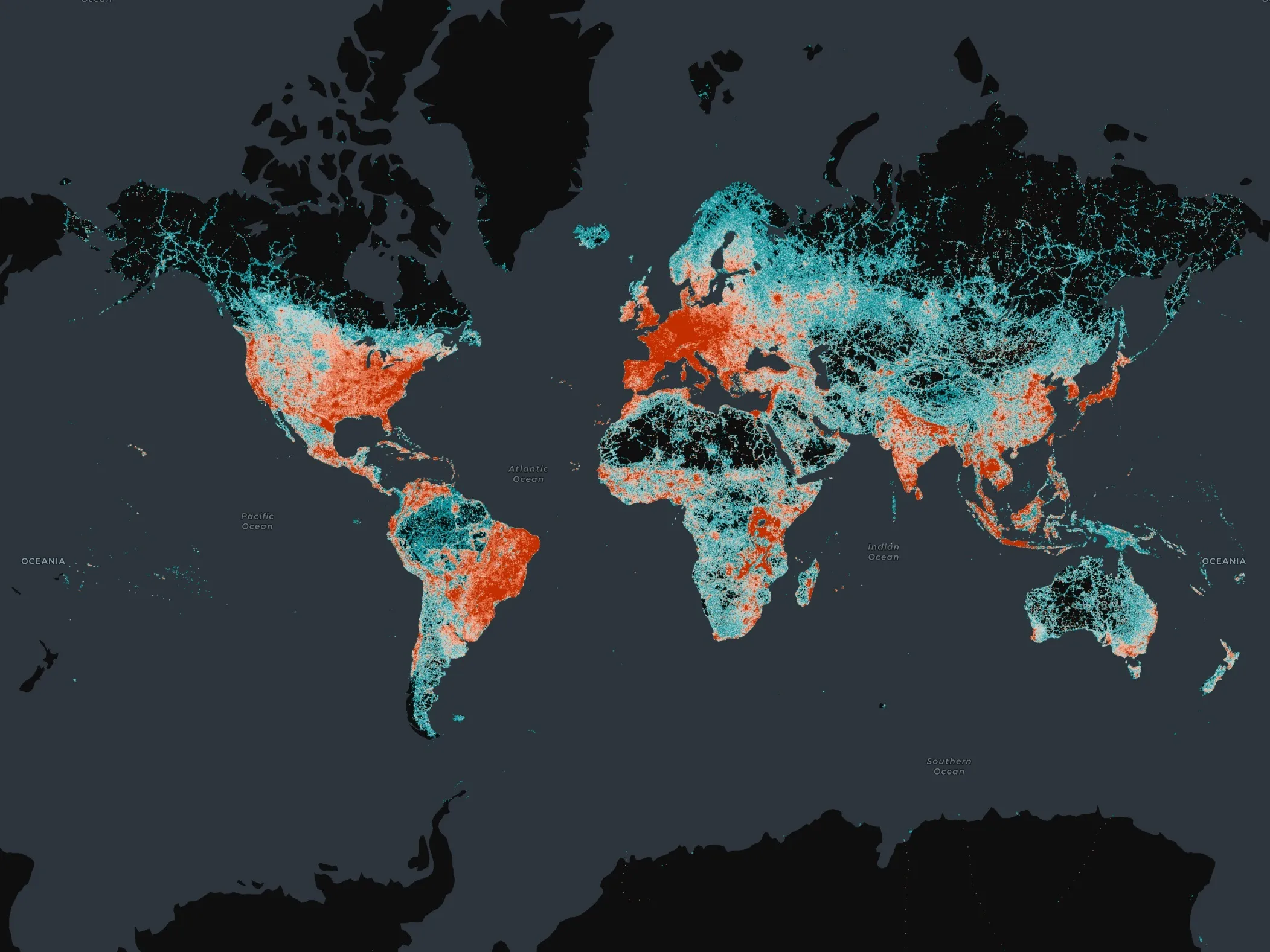
    Open-map dataset includes 86 million kilometres of roads worldwide
  • Developments in software visualisation packages
    February 3, 2012
    Adrian Greeman looks at developments in software visualisation packages. The capacity to make visualisations has been growing in importance over the last decade, and is now a well-accepted part of consultations and client presentations. But making high-quality images of projects is still a major undertaking and larger consultancies employ specialist departments to do so. Costs are coming down but it can still take a while, and some high-capacity hardware, to produce realistic renderings from drawings and 3D