Toyota demos HD maps for Tokyo AVs

Toyota's Research Institute-Advanced Development has demonstrated high definition (HD) maps for autonomous vehicles (AVs) for surface roads in Japan with a relative accuracy of less than 50cm.
By Ben Spencer March 31, 2020 Read time: 2 mins
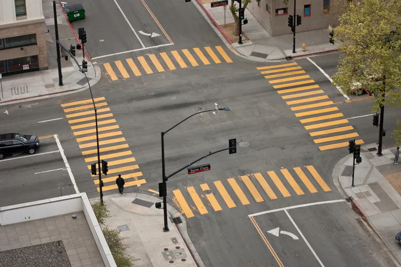
Toyota demos HD maps for AVs for surface roads in Japan (© Rui Baião | Dreamstime.com)

Toyota is hoping to use the results to shorten the delay in updating HD maps for AVs, expand map coverage and reduce maintenance costs.
 
The company collaborated with space infrastructure company Maxar Technologies and IT services provider NTT Data to build the maps using commercial satellite imagery.
 
The demonstration allowed the partners to automatically extract the required map information by analysing, removing and correcting non-map image pixels such as cars and shadows due to the inclination of buildings in satellite imagery. Maps were created within the 23 wards of Tokyo as well as six unnamed cities in the US and Europe.

A collaboration with road intelligence firm Carmera showcased how to make maps using consumer-grade vehicle cameras. Both parties used dashcam drive recorders to detect and place road features such as lane markings, traffic signals and signs within the 23 wards of Tokyo and two unnamed cities in the US state of Michigan.

In a separate initiative, Toyota showed how lane markings necessary for AVs could be updated in near real-time on TomTom's HD map. This was achieved by converting vehicle data into TomTom's cloud-based transactional mapmaking platform, Toyota says.
 
Additionally, Toyota worked with Here Technologies to correct the positional errors in its vehicle data. Here created surface road maps and ingested data into its platform and automatically generated HD maps including lane level information, the company adds.


For more information on companies in this article

Related Content

  • Iteris makes moves on Seattle & Baton Rouge
    June 21, 2022
    ClearGuide SaaS solution and Vantage Vector detection system are at heart of new deals
  • High-speed WIM moves onto the main highway
    May 24, 2016
    High-speed weigh-in-motion is starting to make its mark on both sides of the Atlantic. As a transit country the Czech Republic experiences a large number of overloaded vehicles, which greatly increase highway maintenance costs. This prompted its Transport Ministry to trial an extension of the capabilities of the existing truck tolling system to allow the dynamic high-speed weighing of cargo vehicles. In effect the tolling enforcement gantries become weigh-in-motion (WIM) locations.
  • Remote remedies help US authorities identify bridge deficiencies
    September 6, 2017
    Every day 185 million vehicles – cars, trucks, school buses, emergency response units - cross one or more of America’s 55,710 'structurally compromised' steel and concrete road bridges, the highest concentration of which are in Iowa (nearly 5,000), Pennsylvania and Oklahoma. Nearly 2,000 of these crossings are located on interstate highways, according to the American Road and Transportation Builders Association's recent analysis of the US Department of Transportation's 2016 National Bridge Inventory.
  • SNCF uses ITS to make crossings safer
    May 19, 2021
    There are too many deaths where road and rail intersect: Virginie Taillandier, smart level crossing project manager at French rail group SNCF, outlines how ITS communications can help