Toyota demos HD maps for Tokyo AVs

Toyota's Research Institute-Advanced Development has demonstrated high definition (HD) maps for autonomous vehicles (AVs) for surface roads in Japan with a relative accuracy of less than 50cm.
By Ben Spencer March 31, 2020 Read time: 2 mins
Toyota demos HD maps for AVs for surface roads in Japan (© Rui Baião | Dreamstime.com)

Toyota is hoping to use the results to shorten the delay in updating HD maps for AVs, expand map coverage and reduce maintenance costs.
 
The company collaborated with space infrastructure company Maxar Technologies and IT services provider NTT Data to build the maps using commercial satellite imagery.
 
The demonstration allowed the partners to automatically extract the required map information by analysing, removing and correcting non-map image pixels such as cars and shadows due to the inclination of buildings in satellite imagery. Maps were created within the 23 wards of Tokyo as well as six unnamed cities in the US and Europe.

A collaboration with road intelligence firm Carmera showcased how to make maps using consumer-grade vehicle cameras. Both parties used dashcam drive recorders to detect and place road features such as lane markings, traffic signals and signs within the 23 wards of Tokyo and two unnamed cities in the US state of Michigan.

In a separate initiative, Toyota showed how lane markings necessary for AVs could be updated in near real-time on TomTom's HD map. This was achieved by converting vehicle data into TomTom's cloud-based transactional mapmaking platform, Toyota says.
 
Additionally, Toyota worked with Here Technologies to correct the positional errors in its vehicle data. Here created surface road maps and ingested data into its platform and automatically generated HD maps including lane level information, the company adds.


For more information on companies in this article

Related Content

  • Jenoptik sees value in international outlook
    June 13, 2024
    Technology is always changing in the traffic management sector. Tobias Deubel of Jenoptik talks to Adam Hill about the past, the future – and the importance of global partnerships
  • Data goldmines offer rich pickings
    May 31, 2013
    Astronomical is not too grand a term to describe the current rate of growth in transportation-related data. Massive amounts of traffic related information, such as speed, volume, incidents and weather are being generated every second by road operators and users alike. Big data’ derives its name from the sheer amount and complexity of available raw data. Its potential value is starting to emerge among the intelligent transportation systems community. A gold rush is taking place to capture this value, with da
  • Connecting DoTs with IoT for secure, connected transportation systems
    January 11, 2022
    Michelle Maggiore of Cisco outlines how connected roadways and intersections can help improve safety, reduce traffic congestion, and minimise our carbon footprint
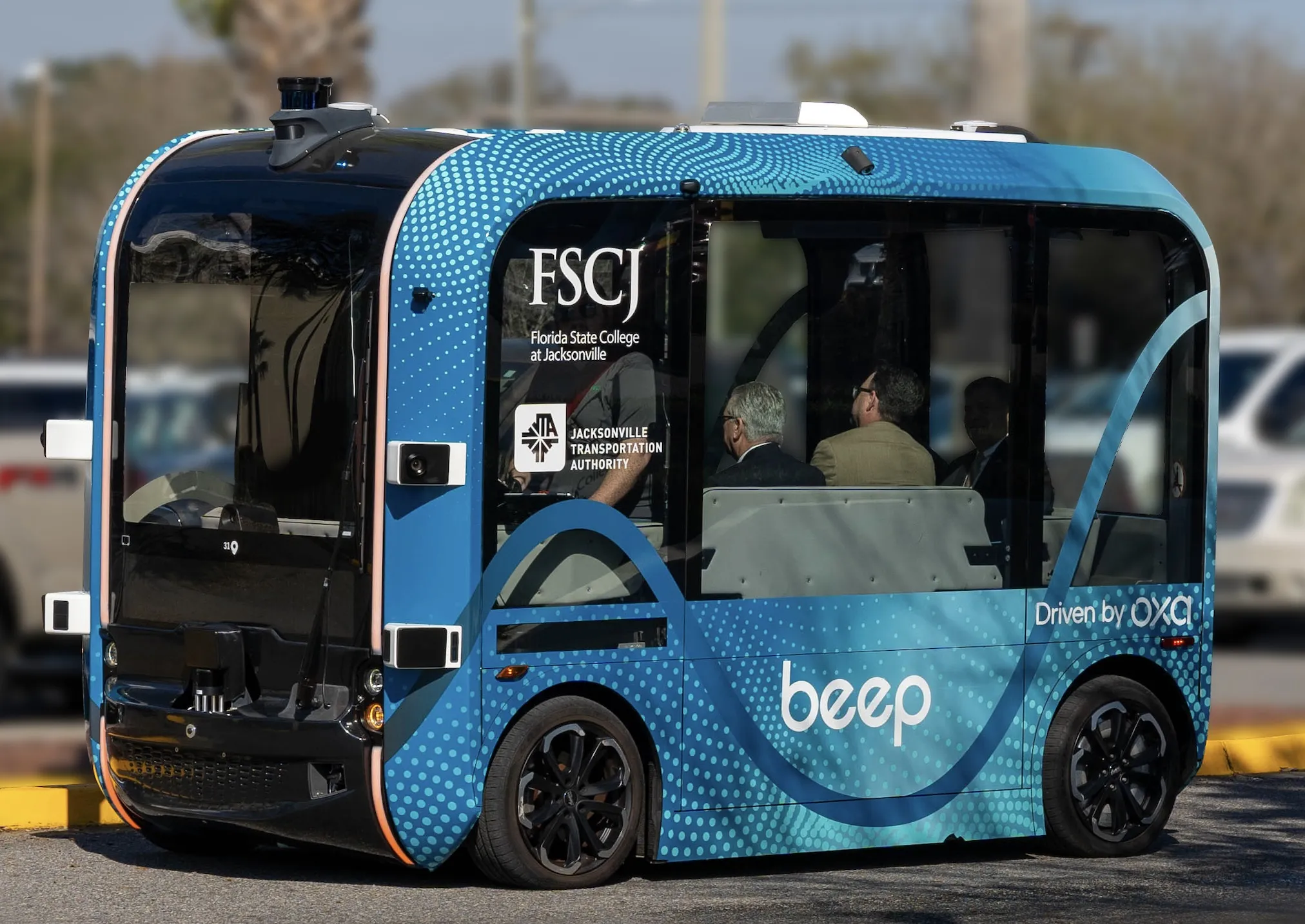
  • Oxa & Beep deliver AV services in Florida
    February 29, 2024
    Shuttles are part of Ultimate Urban Circulator Project which includes monorail expansion