Ito World bike-share data comes to Google Maps

Riders will be able to use Maps to open bike-share apps to book and unlock a bike
By Adam Hill July 21, 2020 Read time: 2 mins
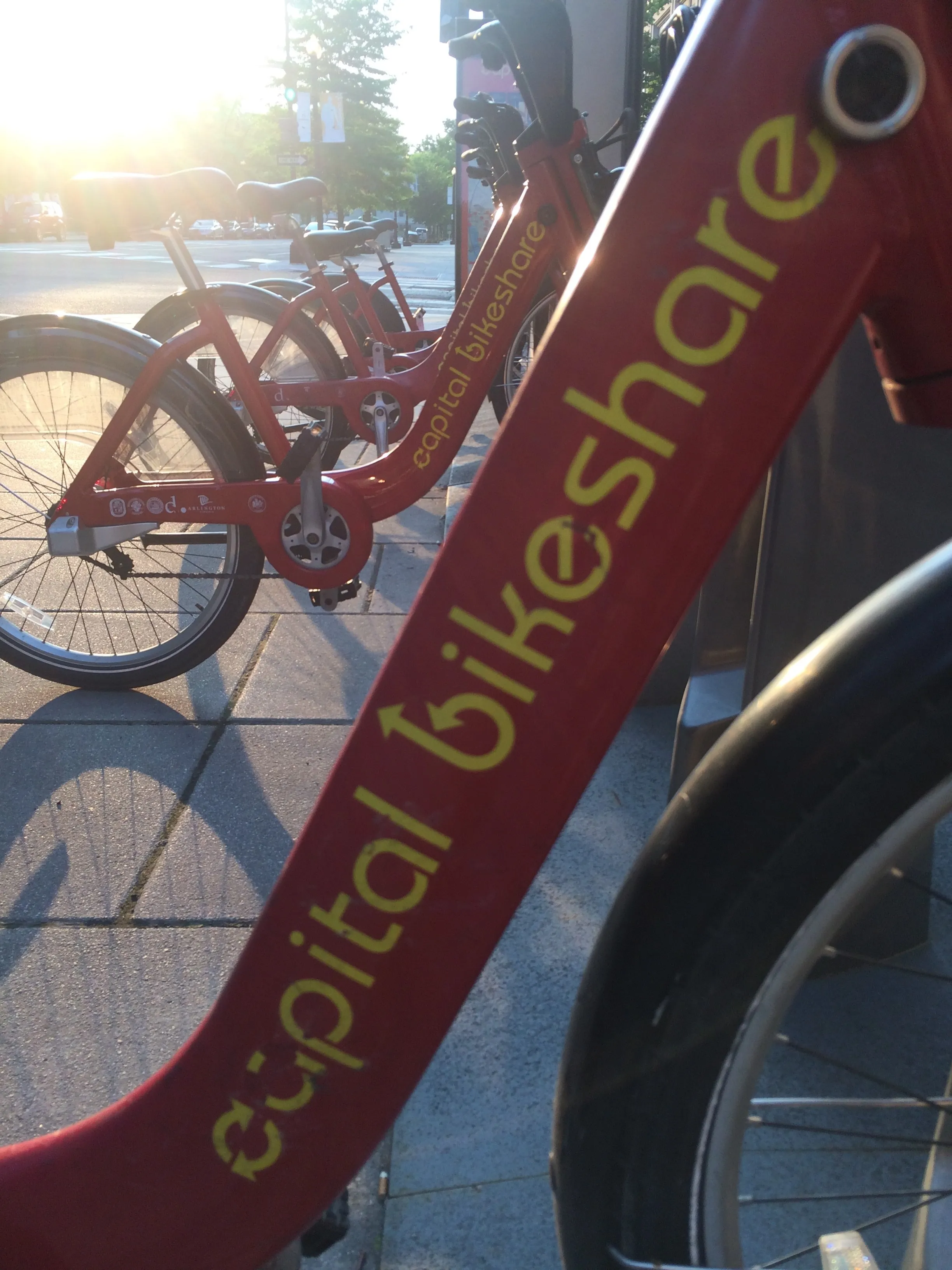
Washington, DC is one of the new cities on Google's list (© ITS International)

Bike-share information from transit data specialist Ito World has been added to Google Maps.

Bike directions have been available in Google Maps for the past decade, but docked bike-share information is now included in 10 cities worldwide, from the US to Taiwan.

Ito World takes operational data from bike-share companies and transforms it into navigable information. 

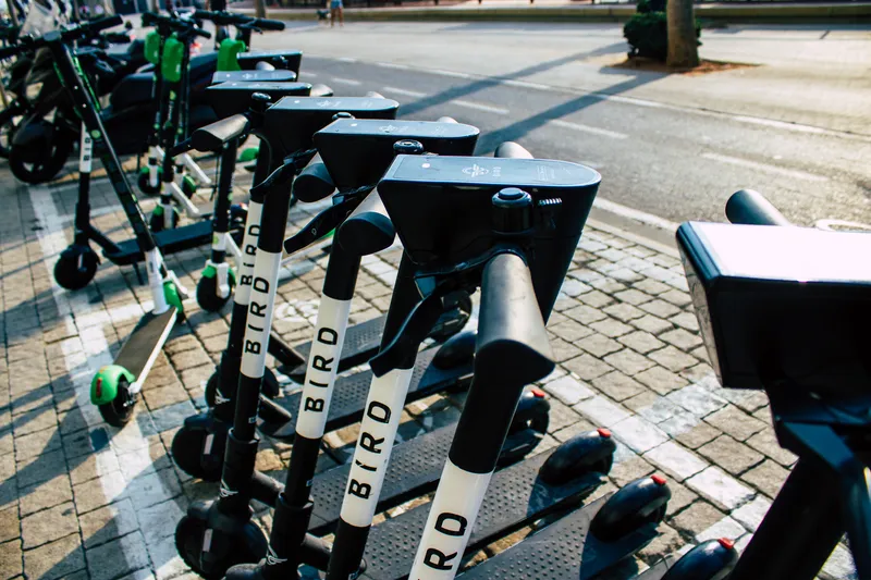
Google already has dockless bike and scooter integration with Lime in more than 100 cities.

The new information goes further, explains Vishal Dutta, Google Maps product manager: "Steps will include detailed walking directions to bike-share stations near your starting point along with live bike availability, turn-by-turn cycling directions to the bike-share station closest to your destination with live dock availability, and, finally, walking directions from there to your final destination."

Google says that Maps will also show links to open the relevant bike-share app to book and unlock a bike.

The full list of cities is:

Chicago, US (Divvy/Lyft)
New York City, US (Citi Bike/Lyft)
San Francisco Bay Area, US (Bay Wheels/Lyft)
Washington, DC, US (Capital Bikeshare/Lyft)
London, UK (Santander Cycles/TfL)
Mexico City, Mexico (Ecobici)
Montreal, Canada (BIXI/Lyft)
Rio De Janeiro, Brazil (Bike Itaú)
São Paulo, Brazil (Bike Itaú)
Taipei and New Taipei City, Taiwan (YouBike)
 

For more information on companies in this article

Related Content

  • Why AI could be the saviour of public transport – if we let it
    April 16, 2025
    Get it right and the rewards could be there. Thomas Ableman looks at how transport in the UK – and beyond – might be transformed by artificial intelligence…
  • TCS to provide HopStop public transport routing
    May 10, 2012
    HopStop, a popular pedestrian navigation and transit routing service covering cities in the US, Canada, Europe and Russia, has been selected by TeleCommunication Systems, a specialist in mobile communication technology to provide public transportation directions for TCS’ navigation services. The HopStop service will extends TCS’ navigation and search functionalities, giving its customers and business partners a location-based ecosystem that connects existing applications and services without the need to cus
  • Israel cracks down on underage e-scooter use
    January 27, 2021
    Lime, Wind and Bird updated apps by tightening restrictions during registration in Tel Aviv
  • I-80 Smart Corridor sets the ITS standard for California's Bay Area
    March 23, 2015
    Colin Sowman looks at California’s ‘smartest’ road which will open this spring to counter congestion and accidents on one of the Bay Area’s busiest interstates. Interstate 80 (I-80) is one of the busiest roads in the San Francisco Bay area with up to 270,000 vehicles using the corridor every day. The section between the Carquinez Bridge in Crockett and the Bay Bridge not only suffers congestion during the working week but also at weekends. Traditional remedies such as building additional lanes (there are al