Ito World bike-share data comes to Google Maps

Riders will be able to use Maps to open bike-share apps to book and unlock a bike
By Adam Hill July 21, 2020 Read time: 2 mins
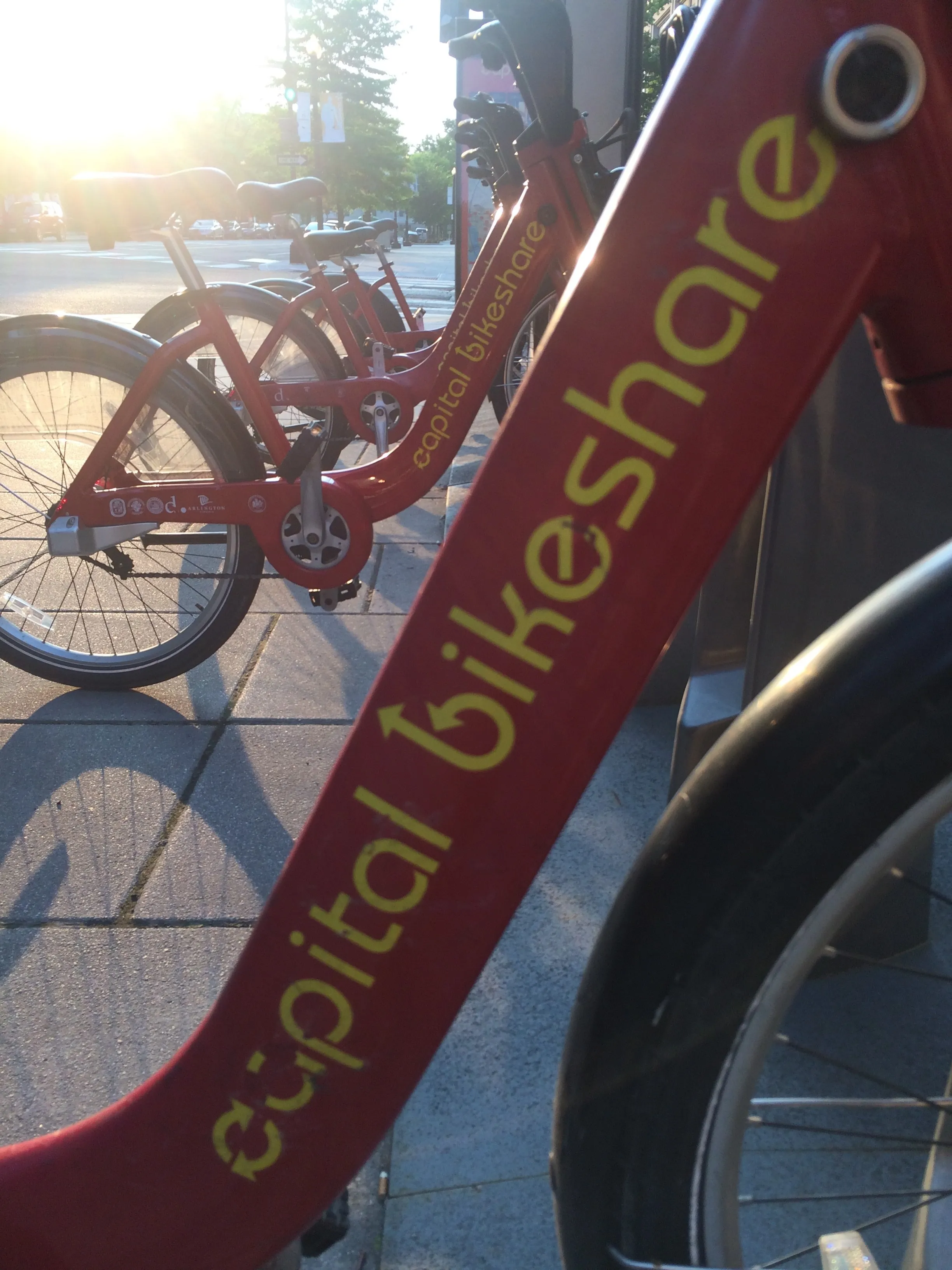
Washington, DC is one of the new cities on Google's list (© ITS International)

Bike-share information from transit data specialist Ito World has been added to Google Maps.

Bike directions have been available in Google Maps for the past decade, but docked bike-share information is now included in 10 cities worldwide, from the US to Taiwan.

Ito World takes operational data from bike-share companies and transforms it into navigable information. 

Google already has dockless bike and scooter integration with Lime in more than 100 cities.

The new information goes further, explains Vishal Dutta, Google Maps product manager: "Steps will include detailed walking directions to bike-share stations near your starting point along with live bike availability, turn-by-turn cycling directions to the bike-share station closest to your destination with live dock availability, and, finally, walking directions from there to your final destination."

Google says that Maps will also show links to open the relevant bike-share app to book and unlock a bike.

The full list of cities is:

Chicago, US (Divvy/Lyft)
New York City, US (Citi Bike/Lyft)
San Francisco Bay Area, US (Bay Wheels/Lyft)
Washington, DC, US (Capital Bikeshare/Lyft)
London, UK (Santander Cycles/TfL)
Mexico City, Mexico (Ecobici)
Montreal, Canada (BIXI/Lyft)
Rio De Janeiro, Brazil (Bike Itaú)
São Paulo, Brazil (Bike Itaú)
Taipei and New Taipei City, Taiwan (YouBike)
 

For more information on companies in this article

Related Content

  • I-80 Smart Corridor sets the ITS standard for California's Bay Area
    March 23, 2015
    Colin Sowman looks at California’s ‘smartest’ road which will open this spring to counter congestion and accidents on one of the Bay Area’s busiest interstates. Interstate 80 (I-80) is one of the busiest roads in the San Francisco Bay area with up to 270,000 vehicles using the corridor every day. The section between the Carquinez Bridge in Crockett and the Bay Bridge not only suffers congestion during the working week but also at weekends. Traditional remedies such as building additional lanes (there are al
  • Berlin to expand bike lines, approves self-driving car test
    April 12, 2017
    Officials and cycling campaigners in Berlin have agreed to budget about $53 million (€50 million) a year to expand bike use with the goal of reducing car traffic in the German capital, according to Associated Press. Berlin daily B.Z. reports that the money will be used to create protected bike lanes of the kind seen in Chicago and New York, build 100 kilometres (62 miles) of dedicate cycling highways and install 100,000 bike parking spaces. The city was once considered a haven for cyclists but has fal
  • San Diego: Let there be (street)light
    March 30, 2020
    The influence of intelligent streetlights is spreading. David Crawford finds that San Diego’s deployment – and attendant legislation – may offer a blueprint for other cities going forward
  • New traffic safety guidelines for bus corridors worldwide
    June 1, 2012
    Embarq, the World Resources Institute’s centre for sustainable transport, has released the draft “Traffic Safety on Bus Corridors” guidelines to improve traffic safety worldwide. Based on more than two years of research, the guidelines are part of the Road Safety in 10 Countries (RS10) project, funded by Bloomberg Philanthropies.