Indiana helps disabled bus riders plan ahead

Transit Map includes pavement measurements and kerb types for wheelchair access
By Ben Spencer June 2, 2021 Read time: 2 mins
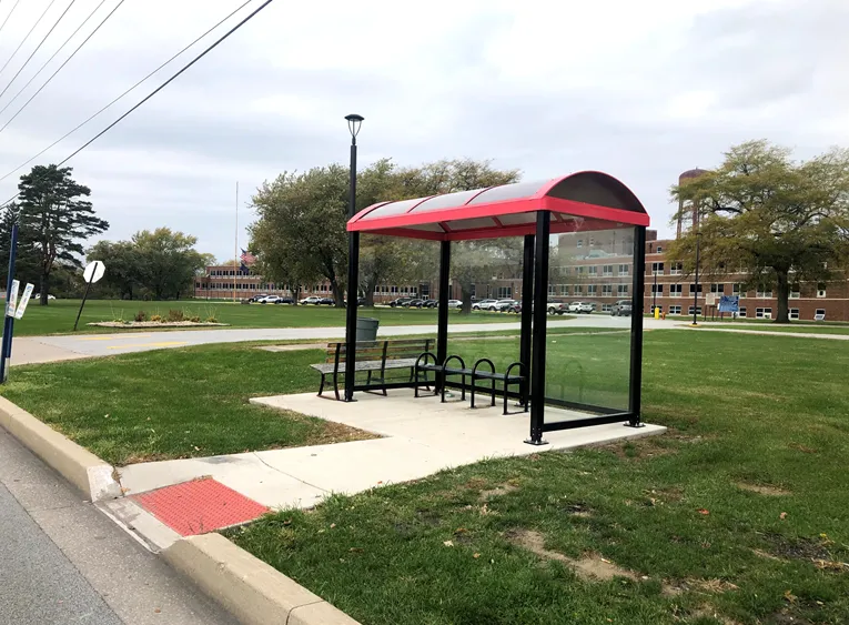
Online map will help disabled riders determine the accessibility of every bus stop in the region (image credit: NIRPC)

The Northwestern Indiana Regional Planning Commission (NIRPC) has released an online map to help disabled riders determine the accessibility of every bus stop in the region. 

The NIRPC recognises that small challenges for disabled riders like the size of a doorway or the softness of the gravel at a bus stop “can throw a wrench in their plans”.

The Northwest Indiana Transit Map provides Google Map directions to the location of a stop, photos and a physical description. It also includes pavement measurements, kerb types for wheelchair access, and amenities like covered or heated structures and the proximity to nearby bus routes in the counties of Lake, Porter and La Porte. 

The map also provides information on the presence of a shelter, the interior space available and the width of its entryway. 

Other details contained within the map include connections to adjacent transportation such as a bus route or train station within two blocks of the bus stop and connections like park and ride and transit facilities.

Kevin Polette, technical assistant with NIRPC, says: “The Northwest Indiana Transit Map is a place to view all bus stops from every transit agency in Northwest Indiana."

"We collected data on every stop, with pictures and the conditions of the bus stops. While collecting the data, we were also able to take public comments from the riders about the bus stops and routes.”

The NIRPC passed public feedback about the bus stops on to transit operators. 

The commission's urban planners hope the map will contribute to municipal and county transportation planning and will influence the decisions of municipal transit operators.

For more information on companies in this article

Related Content

  • New riders get onboard the metabustrip
    October 5, 2016
    Bus travel booking is moving into the digital age as David Crawford discovers. A global surge in demand for intercity bus travel is fuelling new initiatives to make it easier for passengers to access information and book via the web by, fo example, using multi-sourced metasearch engines
  • Littlepay helps French transit go contactless 
    March 8, 2022
    Ginko and Kuba used Littlepay’s APIs to develop an inspection app for city of Besançon
  • How ITS helped Coachella get its groove back
    November 15, 2024
    California’s Coachella Valley attracts visitors to myriad music and sports events. But now an ambitious traffic management initiative aims to cut travel times and reduce emissions. Adam Hill talks to the engineers involved in the massive CV Sync project
  • Big data helps San Diego optimise public transit
    July 14, 2014
    San Diego Metropolitan Transit System (MTS) has turned to Cubic’s big data subsidiary Urban Insights to make better use of its data, according to a report in Information Week. The agency has disparate data sources, including a smart-card payment system, GPS-based automatic vehicle location devices on buses, automatic passenger counters on trolleys, and extensive route and schedule information formatted in the general transit feed specification (GTFS) format developed by Google in 2006. "We look at all