Vricon releases solution for global georegister imagery

Vricon has launched its Precision 3D Registration (P3DR) software suite which, the company says, georegisters imagery automatically anywhere in the world. It works with Vricon’s Globe in 3D brand, a source of geospatial and digital elevation data used by defence and intelligence agencies. The company says that P3DR provides critical accuracy enhancements to other intelligence, surveillance and reconnaissance sources, allowing geospatial intelligence data to be used to direct resources. The solution aims to
July 20, 2018 Read time: 1 min
8782 Vricon has launched its Precision 3D Registration (P3DR) software suite which, the company says, georegisters imagery automatically anywhere in the world. It works with Vricon’s Globe in 3D brand, a source of geospatial and digital elevation data used by defence and intelligence agencies.


The company says that P3DR provides critical accuracy enhancements to other intelligence, surveillance and reconnaissance sources, allowing geospatial intelligence data to be used to direct resources. The solution aims to support analysts with a close-up 0.5m resolution foundational 3D context and an accuracy of 3m. In addition, Vricon adds that P3DR can be implemented as a real-time processing workflow for imagery feeds without the need for GPS location, heading information or ground control points.

For more information on companies in this article

Related Content

  • ProPart AV trial crosses the line
    March 25, 2020
    The perceived safety benefits of autonomous vehicles can only be realised with precise positioning. Ben Spencer reports from Sweden on work by a European consortium which aims to use the technology to allow a truck to carry out an automated lane change
  • Network Optix to unveil Nx Go ‘Camera as a Universal Sensor’ update
    July 25, 2025

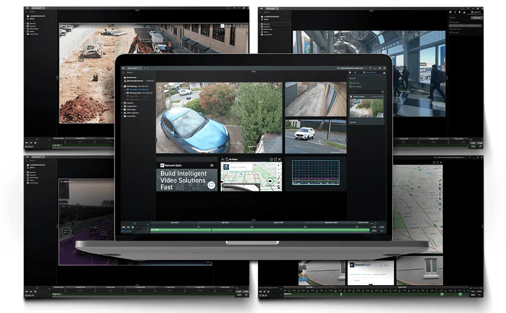
    Network Optix will be in Atlanta to unveil the latest release of its Nx Go ‘Camera as a Universal Sensor’ update, demonstrating how any camera can become a geo-coordinated IoT sensor and provide precise, real-time intelligence to modern transport systems.

  • Here demonstrates precise mapping, data analytics
    July 31, 2015
    Here, a leader in navigation, mapping and location experiences, will come to the 2015 ITS World Congress with a powerful message: precise maps and connected data analytics hold the key to ITS. As the company points out, a city in motion generates a tremendous quantity of data, yet for the most part these data are still untapped and their potential value not fully leveraged. They are likely not shared with a broad network and probably not examined in a wider context with other data.
  • Taking virtual control of the control room
    June 9, 2020
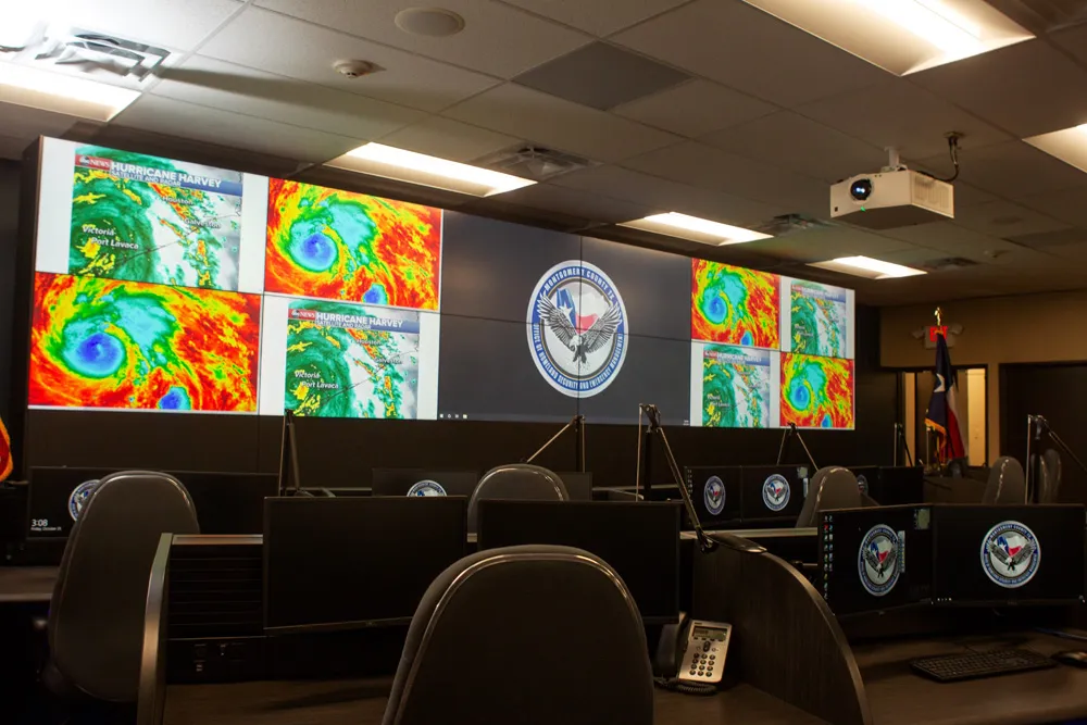
    When you can’t meet customers face to face, it creates problems for all businesses. But Adam Hill finds that the control room tech sector has been adapting