ISS releases traffic data radar

Image Sensing Systems (ISS) has unveiled a radar which it says provides drivers and transportation planners with traffic data about road conditions.
By Ben Spencer March 5, 2020 Read time: 1 min
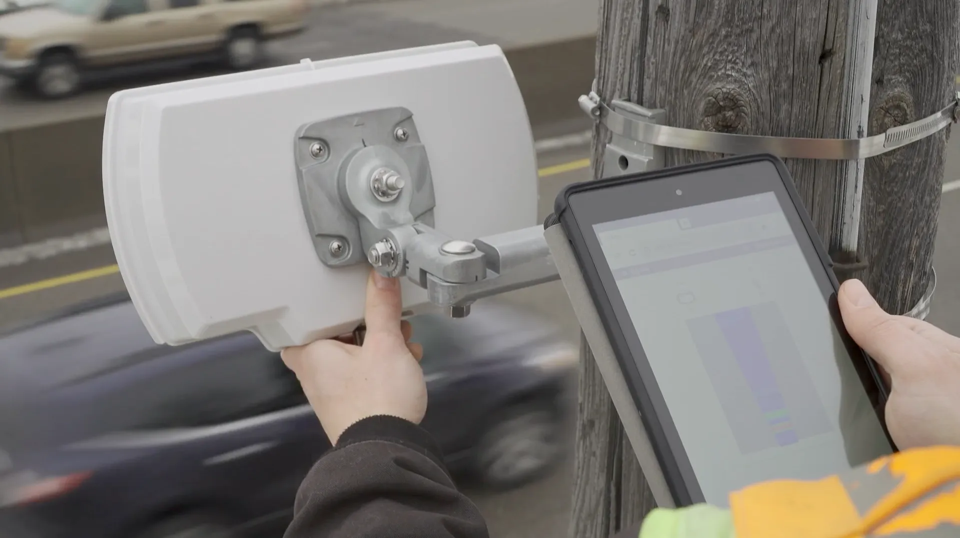
ISS radar provides traffic data about road conditions (Source: ISS)

Seth Anderson, radar product manager at ISS, says: “Transportation professionals around the world make important decisions every day that impact the effectiveness of our complex, multi-modal transportations systems. With RTMS Echo, transportation professionals can be confident in the data-driven decisions they are making today, and into the future.”

ISS says the Internet of Things-ready device comes with built-in aiming guidance for installation, auto configuration of the sensor and wireless management via a smart device. The per-vehicle data accuracy of RTMS Echo can be formatted to deliver insights needed to meet agency objectives, the company adds. 


For more information on companies in this article

Related Content

  • Manchester seeks smart but not selective transport solutions
    January 25, 2018
    Smarter transport relies on better communications both with travellers and between transport providers. Andrew Williams reports. Inrix’s prediction that the cost of traffic congestion will rise by 63% to £21bn per year by 2030 clearly illustrates that, in addition to the ongoing inconvenience and inefficiency, ongoing gridlock is a significant drain on the economy. It is against this backdrop that a Cisco-led consortium has launched CitySpire, a smart transport programme that uses location-based services a
  • Cellular-based probe system delivers real time traffic data
    October 7, 2013
    Toll and traffic management solutions provider IBI Group and Cellint Traffic Solutions, a provider of real-time road traffic information based on cellular data have successfully completed the data validation phase of the regional traffic data system (RTDS) project in Vancouver. The project aims to collect, disseminate and archive real time traffic flow information for the road network in Metro Vancouver and display real time traffic flow and travel time information on regional ATIS.
  • Q-Free unveils WiM classification solution
    March 24, 2021
    Hi-Trac TMU4X is intermodal and expected to integrate with cycle and pedestrian monitoring
  • Quanergy walks the crosswalk in Seoul
    September 30, 2020
    Lidar tech should make school crossings safer in Nowon-Gu district of South Korean capital