WhereIsMyTransport maps out urban future

Tech start-up says it will be emerging world's 'citymapper' by 2023
By Adam Hill September 17, 2020 Read time: 2 mins
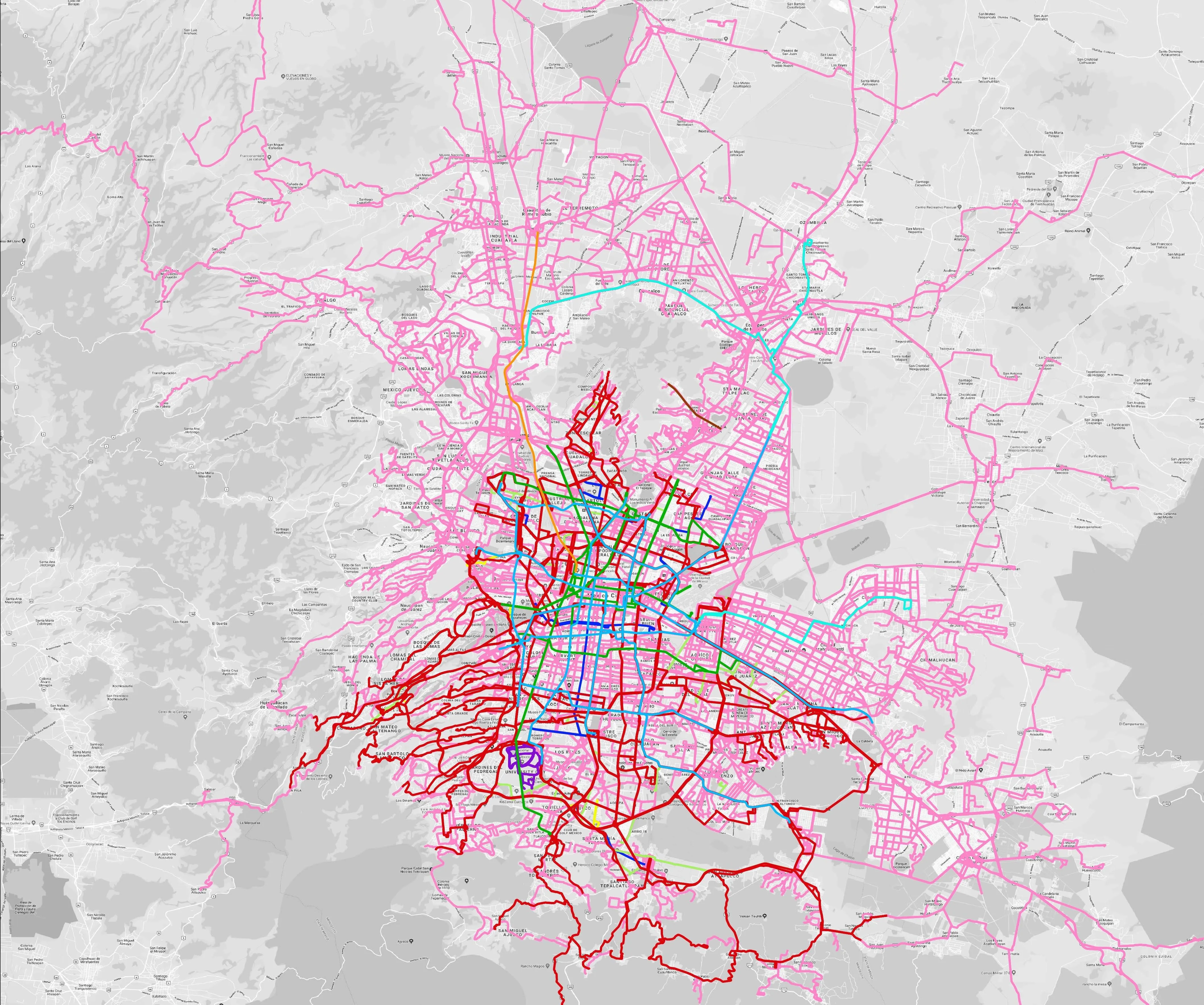
Mexico City is among the conurbations whose networks have been mapped (© WhereIsMyTransport)

WhereIsMyTransport says it is on course to map public transport networks in 30 of the world's biggest cities over the next three years.

The tech start-up, which received funding from both Google and Toyota Tsusho this year, has mapped one million kilometres of formal and informal networks worldwide so far.

Digitalising transport - particularly the 'informal' networks such as commuter minibuses which are vital in many cities - will be of considerable benefit to local economies.

CEO Devin de Vries says: "The production and maintenance of this mobility data is a fundamental first step towards transforming the public transport experience for hundreds of millions of people, and with it the social, cultural and economic landscape of these cities."

The firm began collecting public transport data in emerging markets in 2015, concentrating on the thousands of routes and vehicles owned and run by independent operators, which are effectively unmapped and offline. 

Most recently, WhereIsMyTransport mapped - and now maintains datasets for - the public transport networks in Mexico City, Dhaka (capital of Bangladesh), and the province of Gauteng in South Africa - metro areas with a combined population of more than 55 million. 

The company will collect public transport information in another 27 cities, of which 19 are megacities with populations greater than 10 million, including Bangkok and Rio de Janeiro.

To do this, it uses local teams of data collectors on the ground who map entrances, exits, stairs, gates and platforms at stations and interchanges. 

“We manage and maintain our data, updating it weekly, and integrating it with consumer products and planning tools that support a better public transport experience for everyone, everywhere," insists de Vries.

Related Content

  • July 21, 2015
    TomTom expands global map footprint
    TomTom has added navigable maps for thirteen new countries to its global map database, which now covers over 45.6 million kilometres and 4.3 billion people worldwide, and features full navigable coverage for 134 countries. Global map enhancements include the launch of navigable, turn-by-turn maps for Macedonia, Bosnia and Herzegovina, Peru, Guatemala, Nicaragua, Panama, Costa Rica, Honduras, El Salvador, Iraq, Ghana, Rwanda and Burundi; Address Points have also been introduced to enable better geocodi
  • December 3, 2018
    When will Google wake up to MaaS gold mine?
    Mobility services are a potential gold mine for data-hungry tech companies. That being the case, Andrew Bunn asks: what exactly happens when giants such as Google and Amazon decide to get their teeth into MaaS? There are many different perspectives on Mobility as a Service (MaaS), with many different views on what the latest and future applications of technology are going to bring to transportation infrastructure. However, there is one question that does not seem to come up at all. Up to now, MaaS-relate
  • October 9, 2020
    Tolling faces up to unprecedented challenge
    The next five years are likely to see a number of changes – but the tolling industry will be equal to them, thinks the IBTTA’s Bill Cramer. The best minds in the business are on the case…
  • June 25, 2018
    Cost benefit analysis ‘can’t be carried out with a cookbook’
    There is far more to working out the worth of a project than simply filling in a few headings on a spreadsheet. David Crawford surveys some recent thinking from the US and Canada. Cost benefit analysis (CBA) “can’t be carried out with a cookbook”, warns US analyst Professor Robert J Brent. “ You can’t just get out a spreadsheet and fill in the data for all the headings. Each transport CBA should have something that is distinctive, in terms of location (for example, for a rural area), types of user