Wejo learns from history

Product which accesses historical travel patterns allows agencies to enable future mobility
By Adam Hill June 20, 2022 Read time: 2 mins
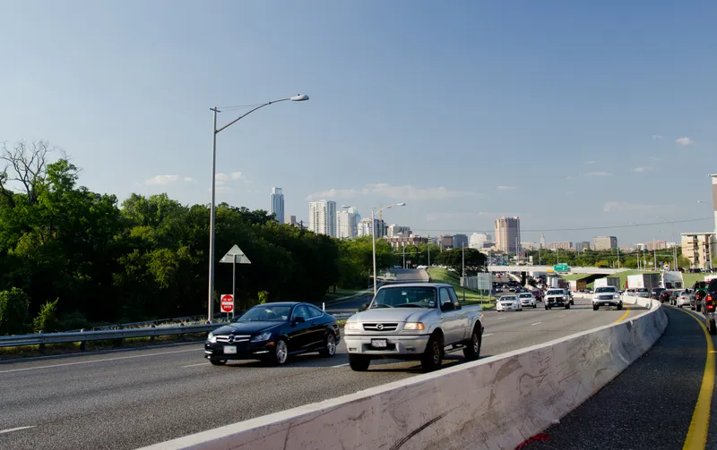
Understanding how traffic moved in the recent past will help solve future mobility issues (© David Mcshane | Dreamstime.com)

Wejo Group has launched a product which gives users seeking to address future urban mobility challenges the ability to request specific data and insights on how US traffic has moved over the last few years.

Wejo Historic Traffic Patterns comes directly from millions of connected vehicles that have been on up to 95% of America’s roads and highways - which means time- and place-specific information is available even if no monitors or sensors have been previously installed.

The company says this allows government agencies, civil engineering firms, mapping/navigation providers and logistics companies to gather insights directly via an API from the Wejo platform or via the Wejo Studio analytics portal.

Data includes travel times, road speeds, vehicle volume density, harsh braking and rapid acceleration.

“The public and private sectors can utilise this incredibly accurate historical data and in-depth insights to build smart mobility plans that can address road network challenges today and tomorrow,” said Richard Barlow, Wejo founder and CEO.

This allows them to make "data-backed, informed decisions to avoid congestions, reduce crashes, and save lives", he added.

Wejo believes it will be of benefit to autonomous vehicle manufacturers, allowing them to reproduce 'real' traffic conditions anywhere in the US and create a complete digital twin of vehicle flows to train algorithms faster.

“The ability to access highly granular and accurate historical data about road traffic and congestion generated by millions of connected vehicles on the road today has countless applications for both public and private sector entities,” said Mark Timms, principal product manager at Wejo.

“This can include everything from providing accurate traffic data to inform on large infrastructure projects to helping fleets reduce emissions and provide better on-time delivery simply by understanding what traffic looked like at specific locations and moments in the past.”

Related Content

  • January 26, 2012
    What's next for traffic management and data collection?
    As the technologies and stakeholders in traffic management evolve, what can we expect to see happening in the coming years? For many, the conversation of the moment is just how, and how far, the newer technologies and services provided principally by the private sector should be allowed to intrude into the realms of traffic management.
  • January 25, 2018
    Manchester seeks smart but not selective transport solutions
    Smarter transport relies on better communications both with travellers and between transport providers. Andrew Williams reports. Inrix’s prediction that the cost of traffic congestion will rise by 63% to £21bn per year by 2030 clearly illustrates that, in addition to the ongoing inconvenience and inefficiency, ongoing gridlock is a significant drain on the economy. It is against this backdrop that a Cisco-led consortium has launched CitySpire, a smart transport programme that uses location-based services a
  • July 15, 2022
    StreetLight's figures highlight Covid effect
    Traffic data provides insights which can be used for planning and BIL investment