Velodyne Lidar has joined the Qualcomm Smart Cities Accelerator Program to promote using Lidar technology in smart city solutions.
Jon Barad, vice president of business development at Velodyne says: “The combination of Velodyne’s Lidar and Qualcomm Technologies edge computing and 5G capabilities creates a powerful asset for developers to make their smart city ideas a potent solution."
"Participating in the Qualcomm Smart Cities Accelerator Program will help us connect with governments and solution providers to build lidar-based smart city applications that transform city infrastructure and services.”
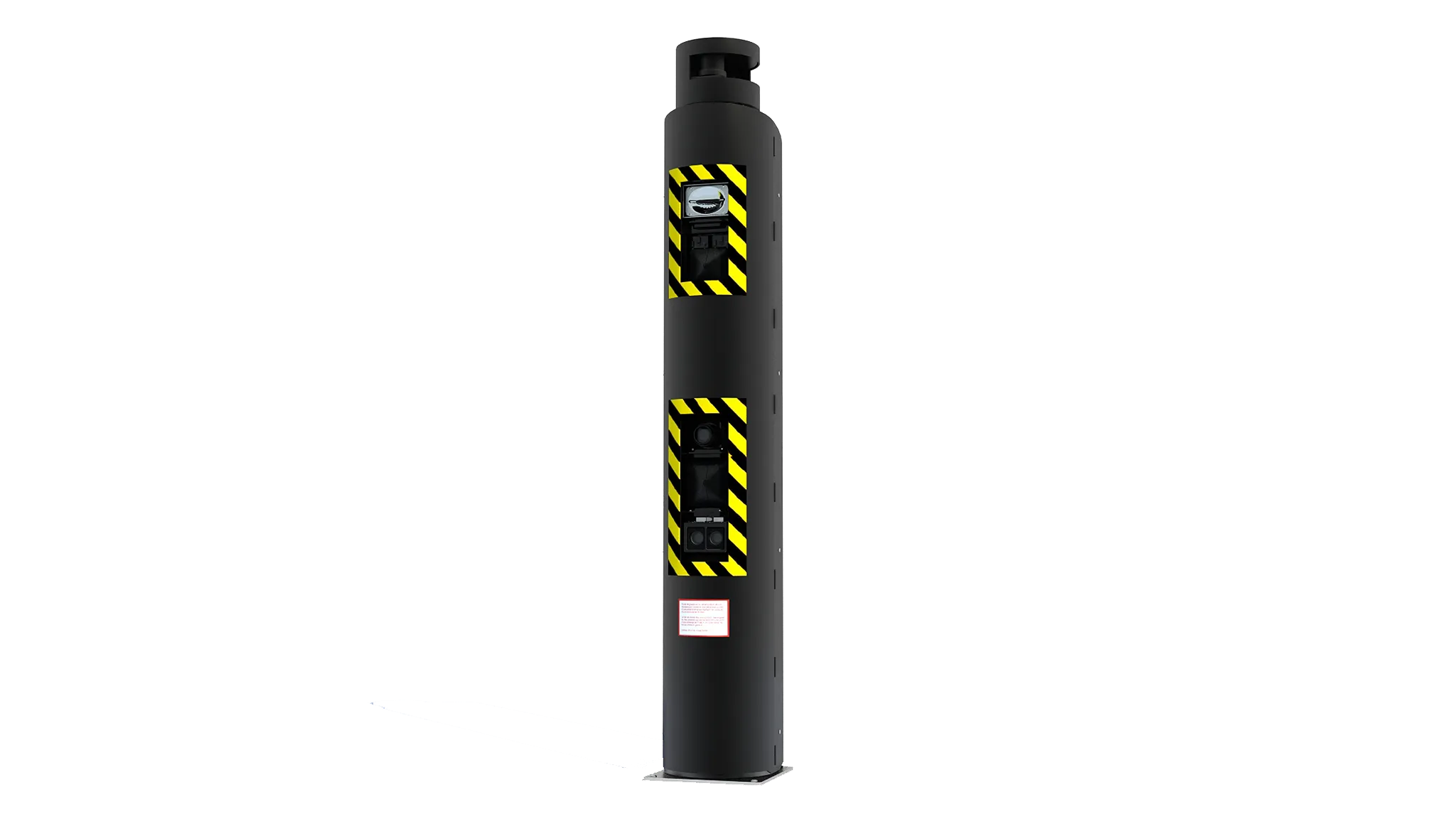
Velodyne says smart city solutions can use its Lidar sensors to measure and monitor conditions in areas such as pedestrian safety, vehicle traffic, parking space management and Vehicle to Everything (V2X) communications.
According to Velodyne, the sensors can collect detailed 3D information about people, vehicles, bicyclists and public spaces while also preserving anonymity.
The 3D data enables object detection and tracking in a variety of lighting and weather conditions.
Velodyne claims the sensors do not recognise people’s faces or the colour of their skin, making it ideal to support the needs of municipalities without compromising individual privacy.
As part of a real-time application demonstration, Velodyne and Qualcomm plan to deploy the sensor on the Qualcomm Smart Campus in San Diego, California.
The partners intend to place the Lidar indoors to track people as they move around in a public space.
The data is expected to help Qualcomm detect traffic and usage patterns so it can better understand utilisation rates and make adjustments to facilities.
Ashok Tipirneni, director at Qualcomm, says: “Velodyne’s lidar sensors and comprehensive 3D data can help equip our Smart Campus and smart city ecosystem members with enhanced safety measures and streamlined operations.”
Velodyne worked with Infinite Computer Solutions and Seoul Robotics to build the application.