Toshiba upgrades solid-state Lidar

Toshiba's Lidar operates in a variety of lighting and weather conditions to 200m
By Ben Spencer July 6, 2021 Read time: 2 mins
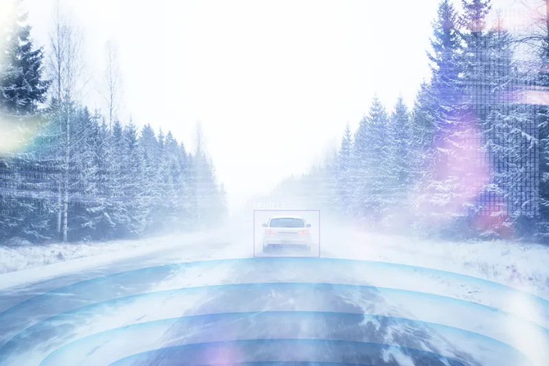
Toshiba says its Lidar can monitor snow cover or objects in the road (© Oskari Porkka | Dreamstime.com)

Toshiba has upgraded its solid-state Lidar which it says maintains a maximum detection range of 200m and will advance progress in autonomous driving. 

The company is expanding the application to monitor transportation infrastructure, in such areas as early detection of road subsidence or landslides, snow cover or falls of objects onto roads.

Akihide Sai, senior research scientist at Toshiba’s corporate research & development centre, says: “We have secured technologies essential for a compact, high-resolution, long-range solid-state Lidar that is robust and simple to install."

"We anticipate demand for such a versatile technology in both the autonomous driving and transportation infrastructure monitoring markets.”

Current monitoring of transportation infrastructure relies on cameras, but Toshiba points out their performance is degraded by low light and bad weather.

The new Lidar is expected to realise clear, long-distance, robust 3D scanning and object detection in a variety of lighting and weather conditions. 

Toshiba achieved a compact Lidar through upgrades to its silicon photo-multiplier (SiPM), a light-receiving chip that consists of light-receiving cells controlled by transistors. 

The new chip has a smaller transistor module, and eliminates the buffer layer that protected the transistors with newly developed insulating trenches between the transistors and the light-receiving cells, the firm adds. 

The potential issue of low light-sensitivity from using smaller transistors was solved with the addition of a high-withstand voltage section to raise the voltage input to the light-receiving cell. 

According to Toshiba, these innovations have reduced the size of the SiPM by 75% while enhancing its light sensitivity by 50% against the July 2020 previous model.

More SiPM can now be arrayed in the same package, which the company insists boosts resolution to 1,200 x 80 pixels, a four-times improvement.

Toshiba is to continue to support safer transportation by promoting its LiDAR technologies for autonomous driving and transportation infrastructure monitoring. Continued R&D is expected to further advance the Lidar’s detection range and image resolution. 

For more information on companies in this article

Related Content

  • Allied Vision Technologies unveils expanded Prosilica camera range
    February 28, 2013
    Allied Vision Technologies has expanded its compact Prosilica GT digital camera range to include five new high-resolution models from 9.2 to 29 megapixels. Designed for imaging in extreme tem­peratures from –20 to +65 degrees centi­grade and fluctuating lighting conditions, Prosilica GT cameras feature precise and DC auto iris, as well as Power over Ethernet (PoE) and the latest CCD sensor technology, making them suited to a wide range of appli­cations including intelligent transportation systems (ITS) and
  • AID partners with Aeva on sensors for AVs
    May 1, 2019
    AID (Autonomous Intelligent Driving), a subsidiary of Audi, is installing Aeva’s 4D Lidar technology to its electric ‘e-tron’ test vehicles in Munich, Germany. AID is hoping the technology will help it bring autonomous vehicles (AV) to urban areas within the next years. Alexandre Haag, AID´s chief technology officer, says Aeva’s 4D Lidar technology was chosen for its “combination of long range, instantaneous velocity measurements at cm/s precision and robustness to interferences”. AID says Aeva’
  • Impact of extreme weather phenomena on European transport system
    January 23, 2012
    The VTT Technical Research Centre of Finland's Pekka Leviäkangas writes about the initial results of the EWENT project, which was set up to research the effects of severe weather on the European transport network. The European EWENT (Extreme Weather impacts on European Networks of Transport) project, financed by the European Commission under 7th Framework Programme for Research, recently issued its first Work Package (WP1) report. This is a review of extreme weather phenomena and their effects on the Europe
  • Turning information into stories
    April 16, 2018
    IBTTA says its TollMiner tool can transform transportation planning. Here, the tolling organisation explains how it works – and what part it might play in Donald Trump’s infrastructure plan. Imagine being able to turn the black-and-white numbers in a spreadsheet into graphics and visualisations that tell a compelling story about essential transportation infrastructure. Having easy access to the solid, reliable data you need to plan surface transportation projects and assign project resources based on