A new solution for the digitalisation of a city's roads and infrastructure has been officially presented in Russia.
Created by Moscow-based Urbantech, one of the leading Russian designers of ITS solutions, it was showcased at Intelligent Transport Systems - Regions, the ITS exhibition recently held in the Kaluga region.
According to the developers, the solution helps regional transport authorities gather up-to-date data on the condition of road facilities, to take prompt measures to restore damaged infrastructure, as well as to automatically prepare all the necessary documentation for the organisation of a reliable system of road traffic.
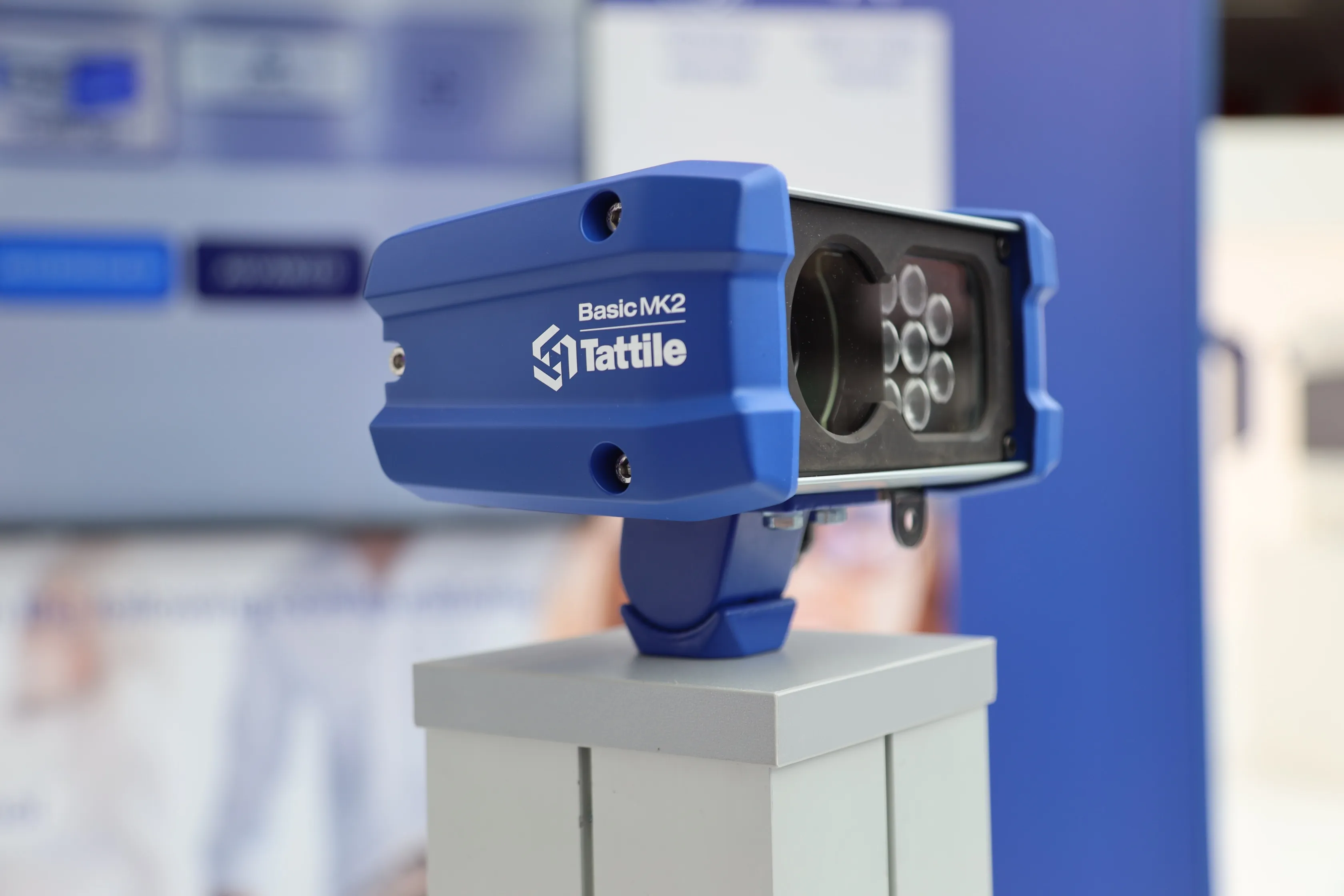
Mobile laboratories carry out automated digitisation of highways as they pass through a city to collect reliable information - with accurate measurements of coordinates and parameters of objects with panoramic photographs.
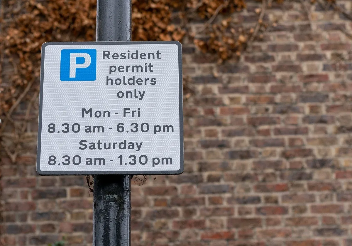
The system uses machine vision, neural network analysis and Lidars, allowing the online regime to identify and classify various road objects (traffic lights, road signs, road surface) and their current state with a positioning accuracy of 10cm.
The data is then supplied to transport authorities.
One mobile laboratory can cover 150km per day, with photo panoramas and object passports provided the next day.
Digitisation of a 'standard' city (with a road network up to 1,000 km and mainly two-lane traffic in each direction) takes no more than two weeks.
The system can be used not only for primary digitisation, i.e. the creation of a digital duplicate, but also for regular monitoring of road infrastructure.
The new data is placed on the existing duplicate, which allows weaknesses of road traffic to be identified in a particular city or a region, which means authorities can take necessary measures to prevent possible road accidents and congestion.