Metro-North seat tracker links to Google Maps 

Real-time data shows estimated customers in each car on New York MTA rail route
By Ben Spencer December 27, 2021 Read time: 2 mins
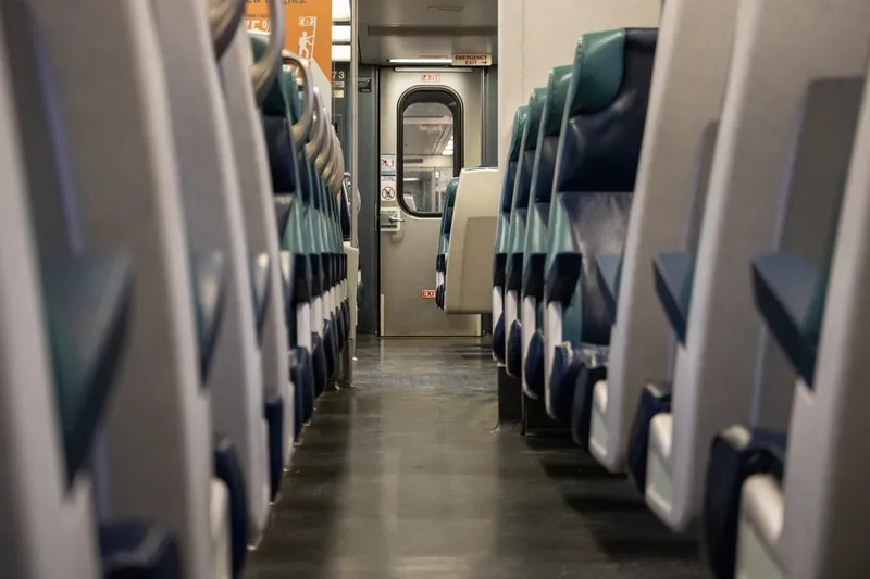
MTA says the real-time seat tracking function measures the weight of each car's seating cabin using data from the suspension system (© Scott Heaney | Dreamstime.com)

The New York Metropolitan Transportation Authority's (MTA) Metro-North Railroad is expanding the seat availability feature in its app on Google Maps. 

The feature was first available via the Metro-North Train Time app last November for most trains operating on electric portions of the Harlem and Hudson Lines, and has since expanded to all east of Hudson trains.

The MTA says customers can now also turn to Google Maps to see the capacity of seats available in each car to make informed decisions based on the real-time data of how many estimated customers are on each train car.

The real-time seat tracking function measures the weight of each car's seating cabin using data from the suspension system, the authority adds. 

According to the MTA, Metro-North modified the software on the cars to transmit this weight value to a central server, from which a nearly precise estimate of how many customers are on board can be derived. 

Catherine Rinaldi, president of MTA Metro-North Railroad, says: “Through the collaborative efforts of teams at MTA IT, Metro-North and Google, it’s even easier to get access to real-time seating availability. This is especially valuable for our occasional riders who may not have downloaded our trailblazing Train Time app on their phone. We want to make it as convenient as possible as we continue to welcome back our riders.” 
 

For more information on companies in this article

Related Content

  • Dubai metro - the world's longest automated rail system
    July 31, 2012
    David Crawford reviews the recent opening of Dubai's Red Line. The US$7.6bn Dubai Metro, the Phase I Red Line of which started partial operation in September 2009, will be the world's longest driverless rail system on its planned completion in 2011. With a total length of some 75km, it will then overtake the 68.7km Vancouver SkyTrain and be able to carry over 1.2 million passengers on a typical day.
  • New York bus passengers get real time bus information
    October 30, 2012
    Bronx bus passengers will soon be able to avoid waits at bus stops and get bus-arrival information on their home computer, smartphone or mobile phone. With MTA Bus Time, passengers can access a map showing where buses are along a particular route. They can also request a text telling them where the nearest bus is on the route. Developed by New York’s Metropolitan transit Authority (MTA), Bus Time uses accurate location data provided by an enhanced GPS device mounted inside each bus. That information is int
  • Hitachi tech to improve Louisana buses 
    March 8, 2021
    Hitachi America is utilising Lumada on Capital Area Transit System bus services
  • Darwin shuttle utilises satellite tech 
    December 9, 2021
    Shuttle will transport more than 6,000 passengers around the campus