XenomatiX enters mobile mapping with GPC360

Data captured encompasses details of infrastructure such as traffic signs and light poles
By David Arminas May 31, 2024 Read time: 1 min
Digital asset representation and precise geolocation are among GPC360's offerings (© Elena Nazarova | Dreamstime.com)

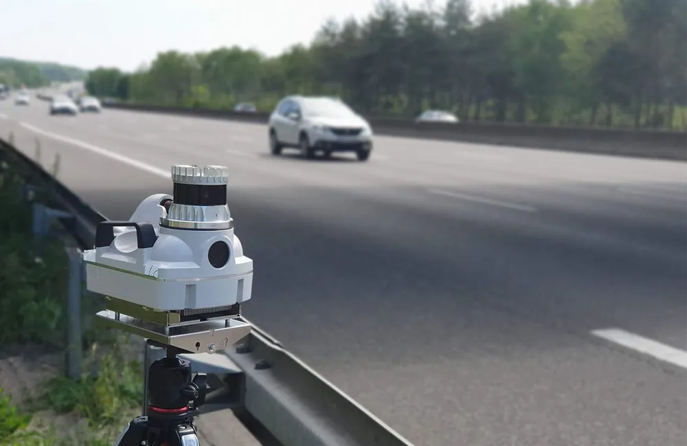
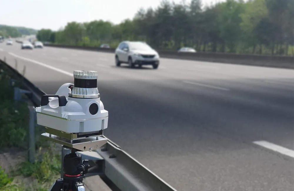
XenomatiX has entered the mobile mapping sector with its GPC360 that uses integrated Lidar-GNSS systems on moving vehicles to gather comprehensive 3D geospatial data.

The company says that, apart from road information, the data captured by GPC360 encompasses intricate details of infrastructure such as traffic signs, light poles, parking spaces, power cables and vegetation. Applications include inventory and asset management, environmental monitoring and urban planning.

Overall, the GPC360 – a compact all-in-one unit - has four key advantages: digital asset representation, precise geolocation, comprehensive 3D visualisation and dimensional analysis. The combination of Lidar and GPS ensures accurate pinpointing of assets. The process is streamlined, with data collection and visualisation happening within minutes.

Customer benefits include a cost-effective mobile mapping kit. Because the GPC360 is compact, it affords easy installation and is suitable for any vehicle, with precise correction for vehicle ego-motion.

The system is an integrated solution encompassing both hardware and software. It facilitates on-board data capture and storage, providing the necessary tools for real-time recording of environmental information. Moreover, its software offers offline functionalities for the meticulous creation of highly accurate geo-referenced digital models of the 360° environment.

For more information on companies in this article

Related Content

  • Real time active traffic management improves travel times
    July 17, 2012
    Traffic management centres (TMC) have traditionally served to provide surveillance and responses to traffic incidents and recurring and non-recurring changes in road networks. Typically, a TMC collected field data from the roadway and transit infrastructure and provided the integration necessary for operators to see what was happening and then coordinate a response. Standard operating procedures (SOPs) guided operators on how to respond to a given situation. It eventually became impractical for TMC operat
  • Parifex will show three road control innovations
    September 16, 2021
    Parifex, a leading solution provider in project management for speed enforcement and smart cities, will highlight three innovations including 3D-lidar technology: the Double-Side Vigie, an extra-urban speed control system; the Nano-Cam, an innovative sensor for mobile real-time data collection and speed enforcement such as vehicle counting and classification; as well as the Nomad, a multi-infringement sensor designed to fit in the urban infrastructure
  • Parifex highlights 3D Lidar tech
    March 4, 2022
    Parifex, a leading solution provider in project management for speed enforcement and smart cities, will highlight three innovations including 3D-lidar technology: the Double-Side Vigie, an extra-urban speed control system; the Nano-Cam, an innovative sensor for mobile real-time data collection and speed enforcement such as vehicle counting and classification; as well as the Nomad, a multi-infringement sensor designed to fit in the urban infrastructure.
  • Cubic: predictive analytics is putting fortune tellers out of business
    November 23, 2018
    The rise of machine learning and artificial intelligence means that fortune tellers will soon be out of business. Ed Chavis takes a behind the scenes look at the world of predictive analytics ver since organisations started taking advantage of insights derived from Big Data, data scientists concentrated their efforts on the ability to make correct assumptions about the future. A few years later, with the help of automation, developments in machine learning (ML) and advancements in the application of a