XenomatiX enters mobile mapping with GPC360

Data captured encompasses details of infrastructure such as traffic signs and light poles
By David Arminas May 31, 2024 Read time: 1 min
Digital asset representation and precise geolocation are among GPC360's offerings (© Elena Nazarova | Dreamstime.com)

XenomatiX has entered the mobile mapping sector with its GPC360 that uses integrated Lidar-GNSS systems on moving vehicles to gather comprehensive 3D geospatial data.

The company says that, apart from road information, the data captured by GPC360 encompasses intricate details of infrastructure such as traffic signs, light poles, parking spaces, power cables and vegetation. Applications include inventory and asset management, environmental monitoring and urban planning.

Overall, the GPC360 – a compact all-in-one unit - has four key advantages: digital asset representation, precise geolocation, comprehensive 3D visualisation and dimensional analysis. The combination of Lidar and GPS ensures accurate pinpointing of assets. The process is streamlined, with data collection and visualisation happening within minutes.

Customer benefits include a cost-effective mobile mapping kit. Because the GPC360 is compact, it affords easy installation and is suitable for any vehicle, with precise correction for vehicle ego-motion.

The system is an integrated solution encompassing both hardware and software. It facilitates on-board data capture and storage, providing the necessary tools for real-time recording of environmental information. Moreover, its software offers offline functionalities for the meticulous creation of highly accurate geo-referenced digital models of the 360° environment.

For more information on companies in this article

Related Content

  • DoTs can benefit from high fibre content
    January 14, 2020
    Existing fibre architecture may be one of the most important assets for DoTs going forward: Skyline’s Paul Lennon explains the importance of evaluating ITS network infrastructure maturity
  • Network Optix will unveil Nx Go
    August 30, 2024

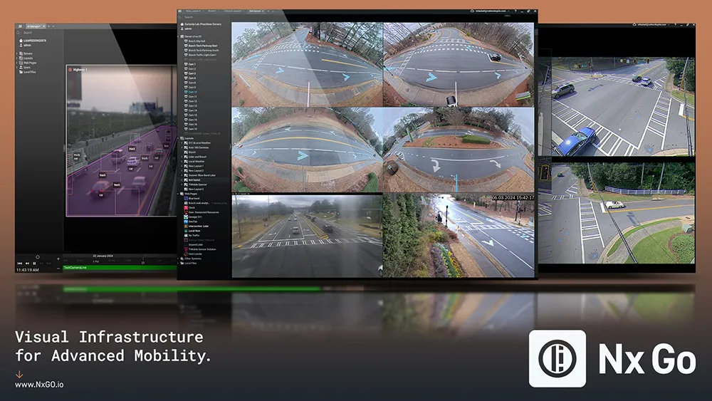
    Since 2014, Network Optix has been a global leader in video management, with over 4.5 million cameras under management across 150 countries. Built on its award-winning interface and known for eff ortless video management, Nx Go is the company’s latest innovation, specifically designed for the transportation industry. It enables visual infrastructure for advanced mobility – datadriven transportation from video.

  • Blyncsy produces US interstate highway asset map
    November 7, 2024
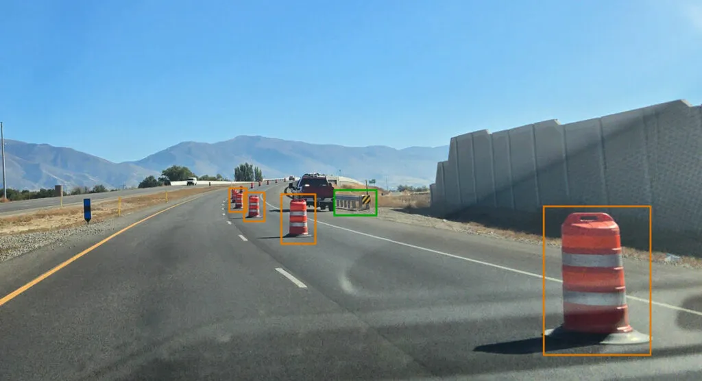
    Data from more than one million vehicles is available to US DoTs
  • Toyota enters partnership to build HD maps for AVs from space
    May 3, 2019
    Toyota Research Institute-Advanced Development (TRI-AD), technology company Maxar Technologies and NTT Data are working together to build high-definition (HD) maps for autonomous vehicles (AV) using satellite imagery. TRI-AD carried out an analysis, saying that current HD maps cover less than 1% of the global road network and there is a need to broaden the coverage of urban areas and local roads before AVs can become a mainstream mobility technology. A HD map created from satellite imagery would all