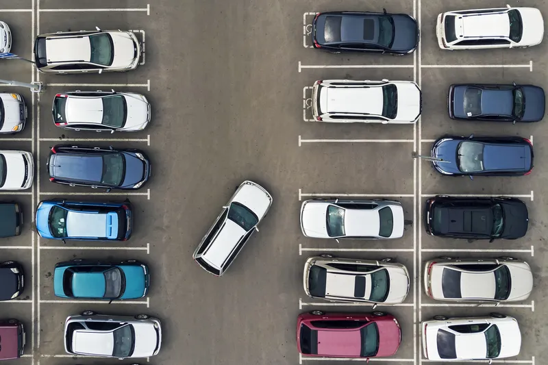
Parknav is an on-street parking solution that navigates drivers in real-time to available on-street parking in metropolitan areas without needing additional hardware. The system utilises a mix of data and crowdsourcing paired with machine learning, artificial intelligence and predictive analytics to provide an optimised search route to navigate drivers to the nearest on-street parking space.

Parknav is an on-street parking solution that navigates drivers in real-time to available on-street parking in metropolitan areas without needing additional hardware. The system utilises a mix of data and crowdsourcing paired with machine learning, artificial intelligence and predictive analytics to provide an optimised search route to navigate drivers to the nearest on-street parking space.
It is available either as a mobile app or for integration into existing third party solutions and platforms and also allows drivers to see the location of nearby off-street parking garages.