New world basemap from Esri

In cooperation with National Geographic, Esri has released the National Geographic world basemap that combines a century-old cartographic tradition with the power of GIS technology to produce a distinctive internet-based map service for GIS, consumer, education, and mobile users. Designed to be aesthetically pleasing, the National Geographic World Map is for users who want to display minimal data on a vibrant, highly detailed background. The map is currently available at ArcGIS Online in the basemap gallery
March 19, 2012 Read time: 1 min
In cooperation with National Geographic, 50 ESRI has released the National Geographic world basemap that combines a century-old cartographic tradition with the power of GIS technology to produce a distinctive internet-based map service for GIS, consumer, education, and mobile users. Designed to be aesthetically pleasing, the National Geographic World Map is for users who want to display minimal data on a vibrant, highly detailed background. The map is currently available at ArcGIS Online in the basemap gallery.

Related Content

  • October 8, 2020
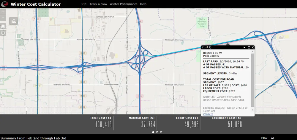
    Real-time winter visibility from Esri
    Keeping the roadways clear during the winter months has become smarter and more transparent at the Iowa Department of Transportation.
  • July 10, 2017
    GeoSLAM showcases 3D mobile mapping for GIS at ESRI User Conference 2017
    3D mobile mapping specialist GeoSLAM, a Silver ESRI Business Partner, is participating in the international ESRI User Conference at San Diego Convention Centre on 10-14 July to demonstrate its live digital 3D modelling capability.
  • January 14, 2020
    Colorado DoT locates data-rich environment
    Colorado DoT and Esri have been cooperating to unlock data’s potential. Jason Barnes finds out what that has to do with firing a howitzer at snowy mountains – and exactly why things that happened in the past point the way towards future proofing
  • September 10, 2014
    Esri helps UDOT consolidate maps into single platform
    Utah Department of Transportation (UDOT) has launched a new website that consolidates hundreds of traffic and infrastructure maps on a single platform, following an open government initiative touted by the state. “Utah views transportation infrastructure as the property of its citizens,” said Terry Bills, global transportation industry manager for Esri. “They paid the bills. They should be able to access this type of information.