New world basemap from Esri

In cooperation with National Geographic, Esri has released the National Geographic world basemap that combines a century-old cartographic tradition with the power of GIS technology to produce a distinctive internet-based map service for GIS, consumer, education, and mobile users. Designed to be aesthetically pleasing, the National Geographic World Map is for users who want to display minimal data on a vibrant, highly detailed background. The map is currently available at ArcGIS Online in the basemap gallery
March 19, 2012 Read time: 1 min
In cooperation with National Geographic, 50 ESRI has released the National Geographic world basemap that combines a century-old cartographic tradition with the power of GIS technology to produce a distinctive internet-based map service for GIS, consumer, education, and mobile users. Designed to be aesthetically pleasing, the National Geographic World Map is for users who want to display minimal data on a vibrant, highly detailed background. The map is currently available at ArcGIS Online in the basemap gallery.

Related Content

  • April 28, 2025
    TomTom and Esri fusion transform urban mobility

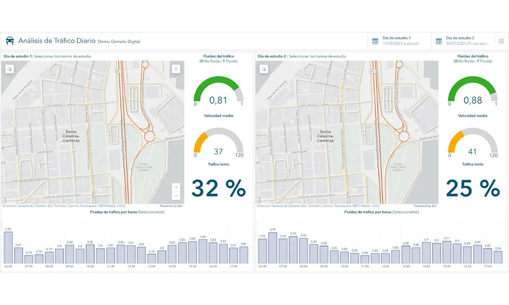
    A collaboration between TomTom and Esri will take centre stage at the upcoming Congress with a session titled "Driving Insights: Unlocking the Power of TomTom Historic Traffic Data in ArcGIS.” Led by industry experts Frans Keijzer from TomTom and Jaime Nieves from Esri Spain, this presentation will showcase how integrating TomTom's historical traffic data with the ArcGIS platform has transformed urban mobility in Gran Canaria, Spain.

  • November 18, 2020
    Esri shows benefits of aggregating multiple data live streams
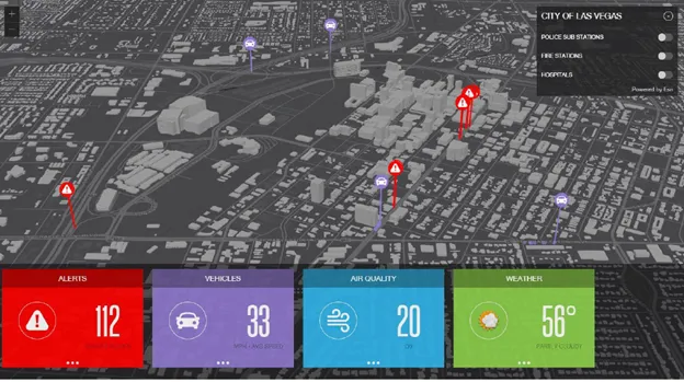
    The age of connected vehicles is fast becoming a reality. While it brings great promise, it also brings new challenges for those seeking to derive insights from the voluminous data each connected vehicle will transmit. Any number of transportation agencies are beginning to grapple with the challenge of monitoring the live streams of data for traffic management, and ultimately for greater safety of their roadways.
  • March 26, 2014
    Esri throws weight behind White House climate change initiative
    In the UK, train services in the south-west remain disrupted after violent winter storms destroyed track; eastern Europe enjoyed an unusually mild winter; in the USA, 2012 saw 300 deaths due to violent weather events and an estimated $110 billion in damage.
  • September 1, 2016
    Esri founder’s Smart City campaign
    Esri’s founder Jack Dangermond is to tell delegates at the ITS World Congress in Melbourne that GIS, spatial technology, mapping and modelling are the keys that will unlock the door to tomorrow’s smart cities. He will say that using the data to bring together all the infrastructures, demands, challenges and future plans from different departments within city hall enables a common model to be built.