
Lyft updates app to boost two-wheel travel

Lyft is tweaking its app in a bid to make it easier for users to switch between different modes of travel - including scooters, bikes, public transit and car rentals.
February 6, 2020 Read time: 1 min

The ride-share firm has added shared bikes and scooters to its app over the past year and says more people are opting for its ‘greenest ride options’.

The app displays mobility options in a city and Lyft says it helps users find the safest routes for bikes and scooters.

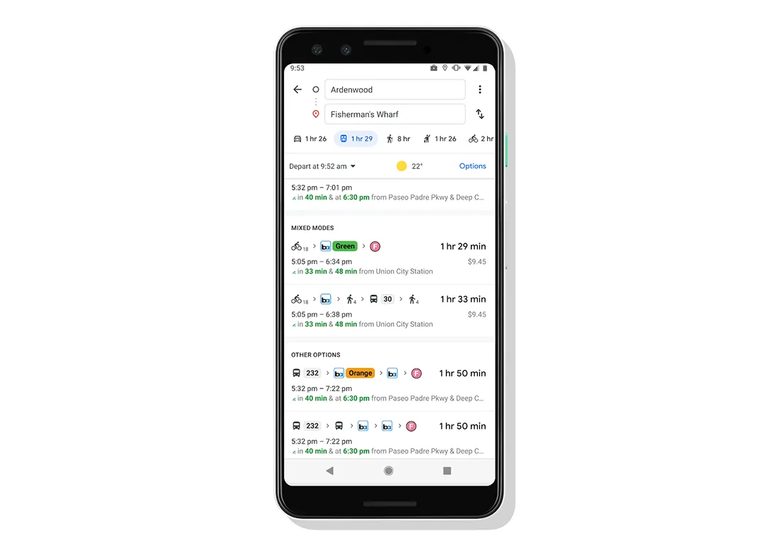
The app will also allow users to compare the time and cost across different modes of transport and use the map to locate nearby bikes, scooters and public transit vehicles.

Lyft recently added protected bike lanes - marked in green in the iOS version of the app, with Android to follow soon - and bike-friendly routes to encourage more people to use two-wheeled transportation.

Related Content

  • Intertraffic Awards 2024: finalists announced
    February 2, 2024
    15 entries across three awards have been recognised for their innovation in mobility
  • Coming soon...real time passenger communication in advance of travel
    November 25, 2013
    A partnership between UK payment and ticketing solutions provider Parkeon and Cloud Amber is about to deliver real time passenger information (RTPI) in advance of travel that the companies say is redefining the effectiveness of RTPI systems. The system developed by Parkeon and Cloud Amber enables over-the-air location tracking of buses, the deep integration with urban traffic management control (UTMC) data and two-way driver messaging. This bus-centric view means that operators are better able to manage
  • New York bus passengers get real time bus information
    October 30, 2012
    Bronx bus passengers will soon be able to avoid waits at bus stops and get bus-arrival information on their home computer, smartphone or mobile phone. With MTA Bus Time, passengers can access a map showing where buses are along a particular route. They can also request a text telling them where the nearest bus is on the route. Developed by New York’s Metropolitan transit Authority (MTA), Bus Time uses accurate location data provided by an enhanced GPS device mounted inside each bus. That information is int
  • O-City enables Ivory Coast contactless travel
    July 12, 2021
    Moja Ride app allows commuters in capital Abidjan to book and pay for rides digitally