Hubio Traffic adds Live Traffic to keep traffic moving

Users of Hubio Fleet can now see live traffic displayed in the Live Map page of their online dashboard, enabling fleet managers to spot potential delays and redirect drivers on new routes or update customers with the reason for a delay.
May 11, 2017 Read time: 1 min

Users of Hubio Fleet can now see live traffic displayed in the Live Map page of their online dashboard, enabling fleet managers to spot potential delays and redirect drivers on new routes or update customers with the reason for a delay.

Using green to yellow to red colour coding to depict the congestion severity, a fleet operator can quickly determine how a live traffic situation may impact their operations and then take action such as sending drivers on an alternative route or allocating a different driver/vehicle to the job.

Related Content

  • MIT study combines traffic data for smarter signal timings
    April 1, 2015
    Researchers at Massachusetts Institute of Technology (MIT) have found a method of combining vehicle-level data with less precise, but more comprehensive, city-level data on traffic patterns to produce better information than current systems provide. They claim this reduce delays, improve efficiency, and reduce emissions. The new findings are reported in a pair of papers by assistant professor of civil and environmental engineering Carolina Osorio and alumna Kanchana Nanduri, published in the journals Tra
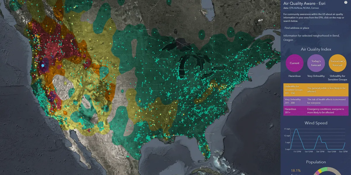
  • Esri exposes US air pollution impact
    October 6, 2020
    App uses data from AirNow programme, American Community Survey and NOAA wind forecast 
  • Ford developing pothole warning system
    February 21, 2017
    Automaker Ford has said it is developing technology which detects the presence of potholes and alerts drivers to their location. Engineers at the Ford Research and Innovation Centre in Aachen, Germany, are experimenting with a crowd-sourced virtual pothole map, with testing due to start later this year. The map would show drivers, in real-time, on in-car displays, where potholes are, how bad they are and suggest alternative routes. “A virtual pothole map could highlight a new pothole the minute it ap
  • Westminster launches parking app
    October 31, 2014
    Westminster Council in London has launched the ParkRight app to enable drivers to find a parking space in central London. The Council has installed sensors on 3,000 roadside spaces in the city, and through the app motorists can identify streets with available bays to avoid driving around searching for a spot. Features include live ‘red, amber, green’ status for over 3000 spaces and locations of over 41,000 on and off-street parking spaces, with detailed information including number of spaces, operating h