Trimble and Qualcomm to improve positioning for connected cars

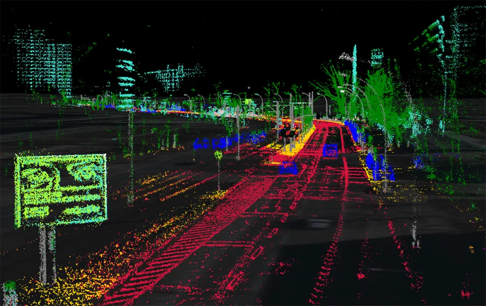
Trimble has joined forces with Qualcomm Technologies to deliver a solution for maintaining absolute in-lane positioning in connected vehicles.
November 4, 2019 Read time: 1 min

The company says the solution will also aid the development of road-level navigation, advanced driver assistance systems and autonomous driving solutions.

Qualcomm's senior director of product marketing Lars Boeryd says: “We are working with Trimble to host the RTX precise positioning software library on our Snapdragon Automotive 4G and 5G platforms to offer a robust end-to-end highly accurate position solution."

Trimble’s RTX technology is expected to provide real-time GNSS corrections and positioning capable of achieving 2cm horizontal accuracy. The combined solution will provide positioning in a broadcast format.

The Snapdragon 4G and 5G automotive platforms support global and regional GNSS satellite constellations such as GPS and QZSS (Quasi-Zenith Satellite System), operating concurrently on the L1, L2, and L5 frequency bands, including a precise positioning framework.

This framework ensures consistency in access and use of positioning information and incorporates the use of GNSS corrections technology, the company adds.

Trimble is hoping to launch an RTX-enabled Snapdragon evaluation kit by early 2020 for automotive OEMs and Tier 1 suppliers.

Related Content

  • January 3, 2017
    Collaborations with technology providers offer European automotive OEMs new growth opportunities
    Improvements in advanced driver assistance system (ADAS) sensors are driving automation features in original equipment manufacturer (OEM) vehicles, according to Frost & Sullivan’s new research, Market Analysis of Premium European OEMs ADAS and Automated Driving Strategies. By collaborating with leading technology providers in the autonomous driving space, OEMs have an opportunity to transform into mobility service providers and introduce levels 4 and 5 autonomous cars earlier than expected. With several
  • January 21, 2025
    C-V2X: the final countdown
    It’s finally here: the Federal Communications Commission has cleared the way to mass deployment of C-V2X in a bid to put a much-needed brake on the US’s road crash stats
  • January 23, 2020
    Septentrio demos AV localisation tech
    Septentrio has provided GPS/global navigation satellite system (GNSS) technology for computer vision supplier Artisense’s Visual Inertial Navigation System (VINS).
  • April 30, 2015
    New solutions to old problems set to cut emergency response times
    David Crawford looks at the latest developments in emergency response. Ensuring speedier reactions to transport and travel crises is becoming increasingly important. US statistics suggest that as many as 1,000 ‘saveable’ lives can be lost each year in major cities because of operational defects in their SOS operations.