TomTom launches RoadDNA

TomTom has launched TomTom RoadDNA, a new product for vehicle localisation that will help make automated driving a reality, faster. Designed with vehicle data storage and processing limitations in mind, RoadDNA delivers highly accurate location information that can easily be integrated into the on-board system of a vehicle. RoadDNA’s propriety technology delivers a highly optimised lateral and longitudinal view of the roadway. By matching RoadDNA data with vehicle sensor data in real-time a vehicle knows
September 14, 2015 Read time: 2 mins
1692 TomTom has launched TomTom RoadDNA, a new product for vehicle localisation that will help make automated driving a reality, faster. Designed with vehicle data storage and processing limitations in mind, RoadDNA delivers highly accurate location information that can easily be integrated into the on-board system of a vehicle.

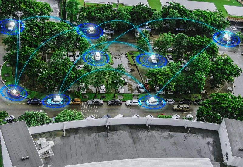
RoadDNA’s propriety technology delivers a highly optimised lateral and longitudinal view of the roadway. By matching RoadDNA data with vehicle sensor data in real-time a vehicle knows its location on the road, even while travelling at high speeds or when changes occur to the roadside.

By converting a 3D point cloud of road side patterns into a compressed, 2D view of the roadway, RoadDNA delivers a solution that needs little storage space and limits processing requirements, without losing detail. It eliminates the complexity of identifying each single roadway object, but instead creates a unique pattern of the roadway environment. This makes the technology robust and scalable.  

TomTom RoadDNA, combined with the TomTom HAD Map, delivers accurate and robust technology by providing real-time information about a vehicle’s precise location on a map whilst coping with changes in the environment.

“We know that the future of automated driving hinges on the ability of a vehicle to continuously know exactly where it is located on the road,” said Harold Goddijn, TomTom CEO. “TomTom RoadDNA is the only technology of its kind that delivers highly accurate vehicle localisation content in an efficient and cost effective way.”

Related Content

  • June 6, 2016
    Autonomous driving – what can we really expect?
    Dave Marples of Technolution BV looks beyond the hype to the practical implementation of autonomous vehicles. Having looked at the development of this sector for some time, I am concerned about the current state of autonomous driving development as engineering (and marketing) have run way ahead of the wider systemic, and legislative, requirements to support an autonomous future.
  • January 31, 2012
    Wireless traffic data in real time
    The effect of moving objects on the electromagnetic landscape set up by cellular telephony networks can be detected and interpreted to give real-time traffic data across large geographical areas at low cost. Here, we revisit the Celldar concept. Global economic downturn has pushed public-sector agencies, transport administrations among them, to push even harder for cost efficiencies. Unfortunately, when it comes to transport safety and efficiency the public sector often has to work up to a cost rather than
  • November 21, 2023
    Why keeping count is so important for traffic management
    Traffic engineers need to have multiple solutions in their toolbox to complete the most accurate and safe data collection programmes possible, explains Wes Guckert of The Traffic Group
  • August 22, 2023
    Heavy weather: how ITS can mitigate climate change effects
    Countries, regions and cities all over the world are seeing unprecedented extreme weather events causing destruction in different ways: from heat and wildfires to snow and floods and much else in between. Jon Tarleton of Baron Weather explains how the ITS industry can help the transportation network to remain efficient as the climate changes