TomTom has launched TomTom RoadDNA, a new product for vehicle localisation that will help make automated driving a reality, faster. Designed with vehicle data storage and processing limitations in mind, RoadDNA delivers highly accurate location information that can easily be integrated into the on-board system of a vehicle.
RoadDNA’s propriety technology delivers a highly optimised lateral and longitudinal view of the roadway. By matching RoadDNA data with vehicle sensor data in real-time a vehicle knows
September 14, 2015
Read time: 2 mins
RoadDNA’s propriety technology delivers a highly optimised lateral and longitudinal view of the roadway. By matching RoadDNA data with vehicle sensor data in real-time a vehicle knows its location on the road, even while travelling at high speeds or when changes occur to the roadside.
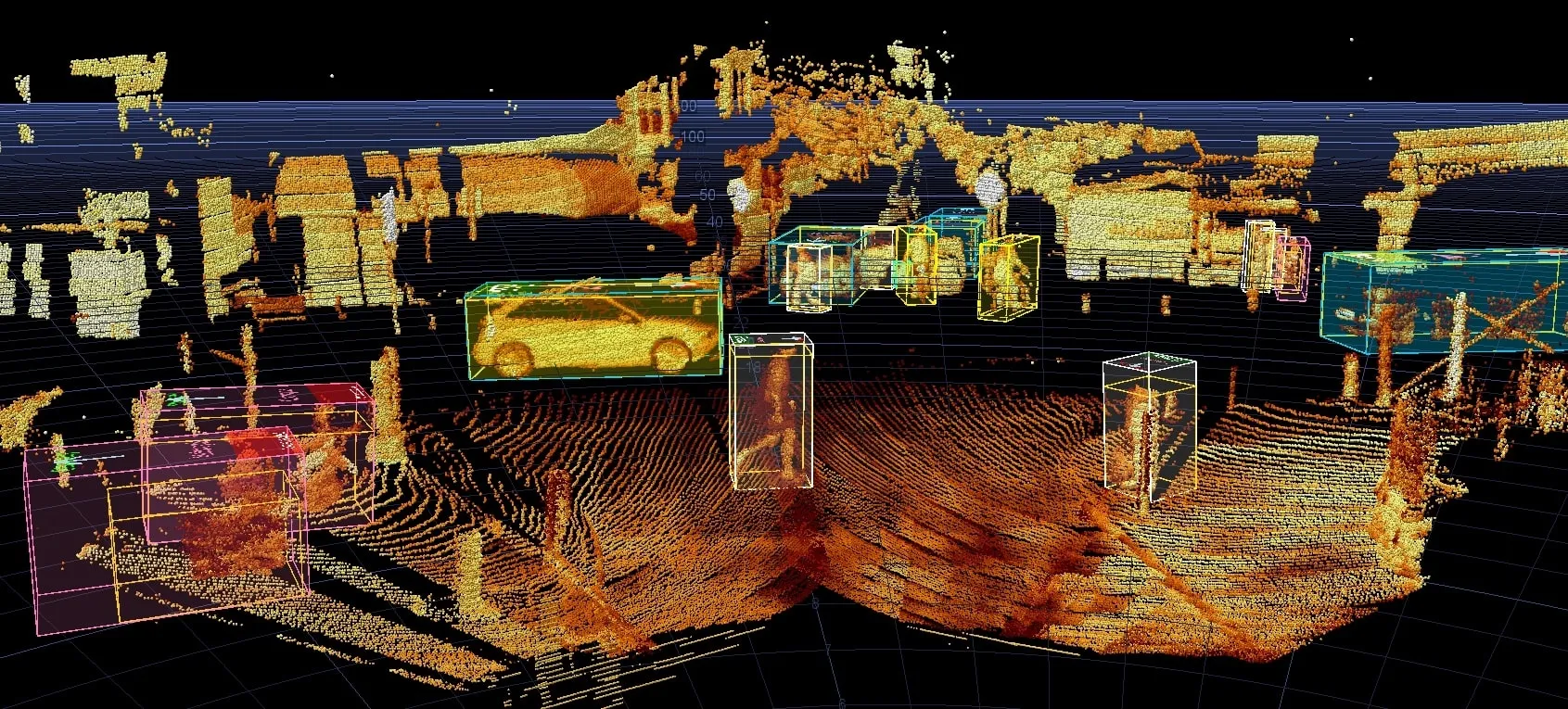
By converting a 3D point cloud of road side patterns into a compressed, 2D view of the roadway, RoadDNA delivers a solution that needs little storage space and limits processing requirements, without losing detail. It eliminates the complexity of identifying each single roadway object, but instead creates a unique pattern of the roadway environment. This makes the technology robust and scalable.
TomTom RoadDNA, combined with the TomTom HAD Map, delivers accurate and robust technology by providing real-time information about a vehicle’s precise location on a map whilst coping with changes in the environment.
“We know that the future of automated driving hinges on the ability of a vehicle to continuously know exactly where it is located on the road,” said Harold Goddijn, TomTom CEO. “TomTom RoadDNA is the only technology of its kind that delivers highly accurate vehicle localisation content in an efficient and cost effective way.”


