Japan’s first navigation satellite gets into position

Japan’s first navigation satellite has reached position above Japan and will be used to improve GPS coverage in mountainous terrain and urban canyons.
March 1, 2012 Read time: 1 min

Japan’s first navigation satellite has reached position above Japan and will be used to improve GPS coverage in mountainous terrain and urban canyons.

The Michibiki satellite, positioned some 33,000 kms over Japan, will undergo three months of testing and commissioning before it enters service. Japan is planning to launch a further two satellites, depending on the performance of the first unit in space.

Related Content

  • Jeddah juggles transport needs of residents, pilgrims and tourists
    December 22, 2015
    Mass pilgrimages, new tourists and a growing population lead Jeddah to seek some smart transport solutions as David Crawford finds out. Rationalising traffic movement and public transport in a major Middle Eastern business and tourist centre that is also a gateway for millions of religious pilgrims every year is the challenge for the 20-year Jeddah Strategic Plan and the Jeddah Public Transport Programme (JPTP) it spawned. The latter is costed at US$8bn.
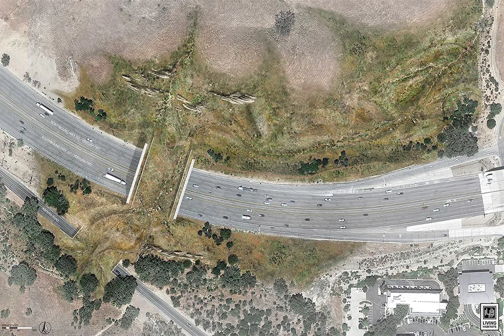
  • Animal magic: wildlife crossings
    June 7, 2022
    We’re used to traffic management involving cars and trucks – but there are other road users which also need to be kept safe in some parts of North America
  • What are AVs doing in rural Ohio?
    March 29, 2023
    Autonomous vehicle pilots so far have been typically sighted in urban areas. But researchers in rural regions of Ohio are now trying to find out exactly what benefits they could bring to the countryside
  • Singapore aims to set MaaS benchmark
    September 26, 2019
    Delegates at this year’s ITS World Congress in Singapore will be able to experience Mobility as a Service for themselves in the form of MobilityX’s Zipster app