Cepton and Mechaspin launch lidar tolling solution

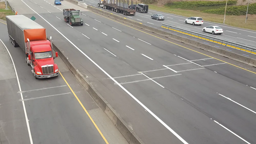
Cepton Technologies is working with machine learning company MechaSpin to develop a lidar-based solution that produces detailed 3D classification of vehicles in real time for automated tolling applications.
November 13, 2019 Read time: 1 min

Cepton - a provider of 3D sensing solutions - is to combine its Sora-P60 lidar with MechaSpin’s MSx software with the aim of enabling immediate profiling of vehicles at highway speeds in a range of weather and lighting conditions.

Neil Huntingdon, Cepton’s vice president of business development, says: “Our partnership with MechaSpin will allow for faster, more accurate and lower cost management of our transport infrastructure as the number of vehicles continues to grow globally.”

Cepton says the solution will remove the need for physical infrastructure while providing data on vehicle velocity, size and axle counts in a format which can be integrated with other sensor, data capture and billing systems. The hardware is designed for aerial installation and contains minimal moving parts to reduce the likelihood of failure, the company adds.

MechaSpin’s president Danny Kent says: “Cepton's lidar technology coupled with MechaSpin's MSx Processing Engine offers a robust solution for tolling, intermodal and other transportation industry applications.”

For more information on companies in this article

Related Content

  • Driving forward cooperative intersection safety applications
    July 24, 2012
    Gregory Davis, FHWA, John Harding, NHTSA, and Mike Schagrin, ITS Joint Program Office (RITA) chart the course for cooperative intersection safety applications being pursued as part of the IntelliDrive programme. Crashes at intersections accounted for 8,703 highway fatalities in the US in 2008. Research and development is moving forward on IntelliDriveSM safety applications designed to help drivers avoid intersection accidents. These new safety systems could substantially drive down the highway death and inj
  • Topcon mapping system
    February 6, 2012
    Topcon Positioning Systems (TPS) has announced an addition to its offering of high-accuracy, mobile mapping solutions. The IP-S2 HD Mapping System is a vehicle-mounted surveying and mapping system featuring a high-definition LiDAR scanner from Velodyne Lidar.
  • IRD polishes WiM’s green credentials
    December 21, 2020
    A project in Canada is proving that Weigh in Motion can have a positive environmental impact, by helping to reduce emissions. Adam Hill looks at International Road Dynamics’ numbers
  • MDOT uses connected vehicle technology to clear snow and ice
    January 9, 2017
    Connected vehicle technology is helping Michigan Department of Transportation (MDOT) clear snow and ice from roadways faster, using GPS-based automatic vehicle location (AVL) devices on its winter road maintenance equipment. These systems report where each truck is, and they gather data from other sensors to report details like atmospheric conditions, camera images, and speed and salt application rates for each vehicle.