WDM exhibits RAV road assessment vehicle

WDM, the UK’s leading manufacturer and provider of highway survey and monitoring equipment, will be exhibiting its RAV (road assessment vehicle) for the first time at Intertraffic Amsterdam. The RAV carries out high-speed data acquisition and recording of surface conditions, including measurement of radius of curvature, gradient and crossfall; the automatic recognition of surface cracking; plus geometric longitudinal profile, accurate at speeds down to 0kph.
April 4, 2016 Read time: 1 min

7604 WDM, the UK’s leading manufacturer and provider of highway survey and monitoring equipment, will be exhibiting its RAV (road assessment vehicle) for the first time at Intertraffic Amsterdam. The RAV carries out high-speed data acquisition and recording of surface conditions, including measurement of radius of curvature, gradient and crossfall; the automatic recognition of surface cracking; plus geometric longitudinal profile, accurate at speeds down to 0kph.

The company will also be highlighting a major success in the US where researchers at Virginia Tech Transportation Institute (VTTI) have started evaluating the safety of highway surfaces in several US states using the company’s technology.

The project, being funded by the Federal Highways Administration, will analyse continuous stretches of pavement to determine whether improving highway materials or design could reduce crashes and save lives using WDM’s Sideway-force Coefficient Routine Investigation Machine (SCRIM). The data collection phase started in Washington and will include testing in Florida, Indiana and Texas.

For more information on companies in this article

Related Content

  • High-res traffic data provides planners with the big picture
    November 5, 2015
    Road authorities have a lot to gain from high-resolution traffic data, argues Pravin Varaiya. Traffic engineers have traditionally been forced to operate with limited data regarding the performance of their arterials. Traffic studies are often commissioned once every three years, over a few days, to get an updated estimate of utilization.
  • Mayor unveils expanded traffic-busting plans to keep London moving
    September 30, 2015
    The Mayor of London, Boris Johnson, has unveiled the new measures Transport for London (TfL) is introducing to ease traffic in the capital and minimise disruption on the roads as major work to improve the network continues as part of the Mayor’s US$6 billion Road Modernisation Plan. The innovations include: Trials of new technology - for the first time on the TfL road network a new generation of digital road signs will provide people with real-time information on journeys using major routes into London.
  • San Diego: Let there be (street)light
    March 30, 2020
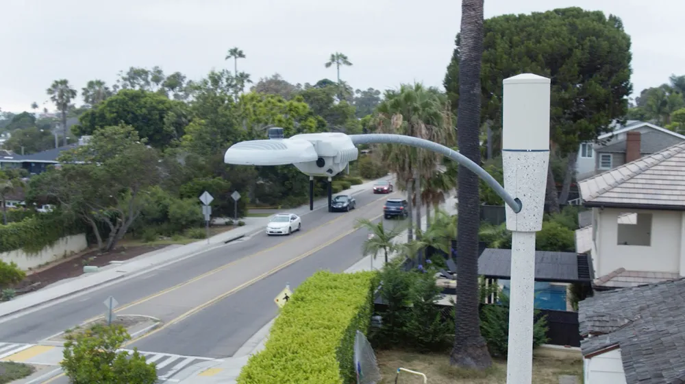
    The influence of intelligent streetlights is spreading. David Crawford finds that San Diego’s deployment – and attendant legislation – may offer a blueprint for other cities going forward
  • Options abound for road weather sensing
    September 6, 2017
    Meteorological organisations invest millions in super-computers to crunch data for ever-more accurate forecasts but inherent unpredictability means that other methods of alerting drivers and road authorities to fast-changing weather and highway conditions are essential. For years, static weather sensors to measure factors such as surface water, ice or high roadway temperatures have been embedded in highways to provide such data. But that is changing.