VI²M is the right formula for IRD

IRD is at ITS America 2016 San Jose to showcase the VectorSense tyre sensor suite for traffic and pavement design applications in conjunction with the VI²M data collection and presentation software suite. The VectorSense tyre sensor suite is a new in-road sensor technology that provides vehicle position and individual tyre footprint information for use in traffic data collection programs, commercial vehicle operations and toll road operations. This additional and advanced vehicle data provides for differ
June 13, 2016 Read time: 2 mins
Rish Malhotra of IRD
857 IRD is at ITS America 2016 San Jose to showcase the VectorSense tyre sensor suite for traffic and pavement design applications in conjunction with the VI2M data collection and presentation software suite.

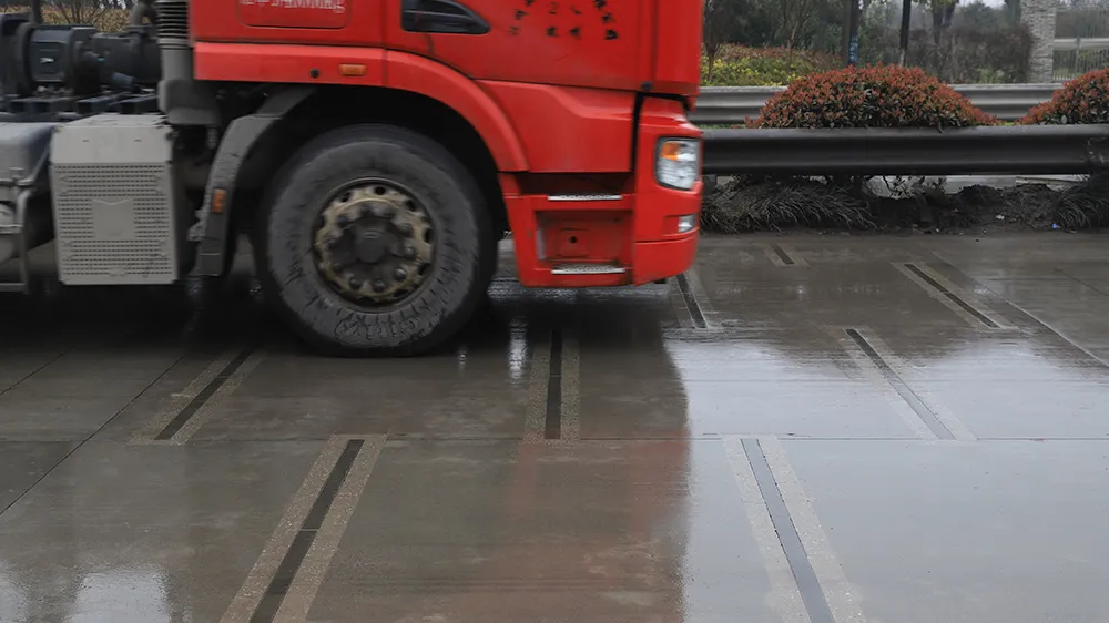
The VectorSense tyre sensor suite is a new in-road sensor technology that provides vehicle position and individual tyre footprint information for use in traffic data collection programs, commercial vehicle operations and toll road operations. This additional and advanced vehicle data provides for differentiation between single standard, ‘super single’, and dual tyre width configurations – vital information for predicting pavement damage.

VectorSense sensors provide data on all types of vehicles, enabling engineers and planners to collect and analyse traffic data to optimise infrastructure investments such as bike lanes, bike paths and bike share locations. With input from VectorSense sensors, IRD says the VI2M data collection system can provide web-based reports on different tyre configurations and vehicle types. VI2M can detect all types of vehicle configurations, including bicycles, motorcycles, three-wheeled vehicles and oversized vehicles with non-standard axle arrangements.

VI2M provides an easy-to-use web-based system of dashboards that graphically represents data stored in a central repository. In addition to tabular reports on vehicle classes and axle counts, the system can generate plotted graphs for lane position, wheel measurements, and wheel type at multiple sites.

The software suite allows users to combine data from multiple sensor types and multiple locations to create a complete picture of activity across their jurisdiction.

For more information on companies in this article

Related Content

  • Hurdles to MaaS adoption highlighted
    January 25, 2018
    Jack Opiola talks to some MaaS advocates in the US. Cities will accommodate almost 60% of the world’s population by 2025 and technology is outpacing transportation plans and planners - putting extreme pressures upon planners and transportation systems alike. Big data, digital payments, ubiquitous communications, smartphone applications, on-demand travel and autonomous vehicles are all shredding existing transport plans. Never before has the pace of population growth and the tools to address this problem
  • IBTTA summit hits right notes in Salzburg
    December 5, 2018
    In the birthplace of Mozart, Colin Sowman found that delegates at the IBTTA’s inaugural World Tolling Summit were playing a variety of interesting tunes The first World Tolling Summit took place in Salzburg, Austria this autumn. Created and organised by the International Bridge Tolling and Turnpike Association (IBTTA), the event was supported by its European counterpart Asecap and hosted by Austria’s tolling authority, Asfinag. The transfer of views, experience and practice both ways across the Atl
  • WiM checks & balances
    January 11, 2022
    From a legal and safety perspective, making sure your figures are right is a vital element of Weigh in Motion: VanJee, Q-Free, Intercomp and Cross Zlín explain how to achieve this…
  • ProPart AV trial crosses the line
    March 25, 2020
    The perceived safety benefits of autonomous vehicles can only be realised with precise positioning. Ben Spencer reports from Sweden on work by a European consortium which aims to use the technology to allow a truck to carry out an automated lane change