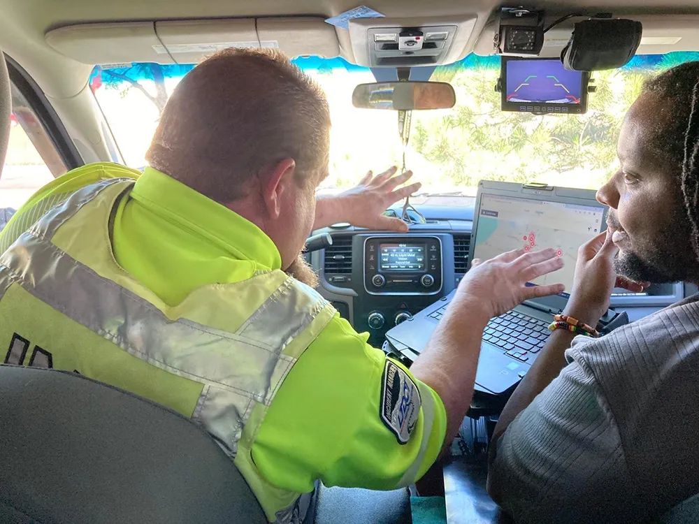
“It is time to take road weather seriously,” is how Vaisala’s Danny Johns puts the company’s message to this week’s ITS World Congress delegates, and the wider world.
While the monitoring of winter weather is well established, wind, rain and poor visibility can occur at any time of the year and have significant impacts on traffic flows and crash statistics.
“We are now mapping road networks to identify weather-sensitive areas to best locate road weather stations – it doesn’t take a lot of rain or wind to

“It is time to take road weather seriously,” is how 144 Vaisala’s Danny Johns puts the company’s message to this week’s ITS World Congress delegates, and the wider world.
While the monitoring of winter weather is well established, wind, rain and poor visibility can occur at any time of the year and have significant impacts on traffic flows and crash statistics.
“We are now mapping road networks to identify weather-sensitive areas to best locate road weather stations – it doesn’t take a lot of rain or wind to cause an increase in incidents,” said Johns.
Vaisala’s RWS 200 road weather station, displayed on the company’s stand, is fitted with three lasers to measure water, ice and snow and then calculate the available grip. When the grip level falls below a pre-set level, it will either send an alert to the traffic monitoring centre or, particularly in rural locations, automatically activate variable message or speed signs.
“We have had examples of significant decreases in crashes after road weather monitoring stations have been installed,” Johns said.