
Ultimate signal monitoring for Traffic Group

Video wall system from UVS allows firm to map deployed traffic light systems
By David Arminas June 24, 2025 Read time: 1 min
Traffic Group Signals' new video wall in Cheltenham, UK

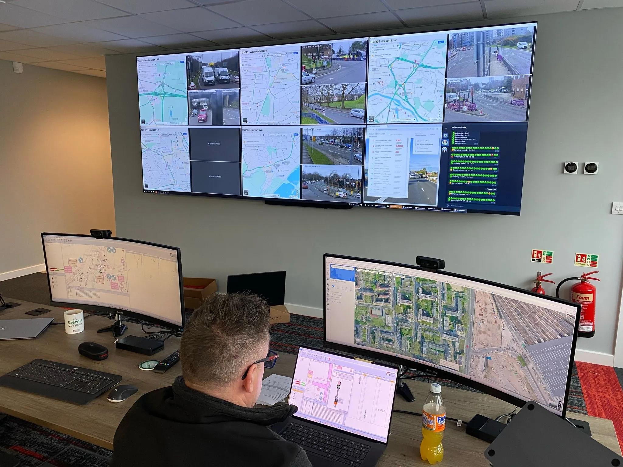
Traffic Group Signals has improved the monitoring of its installations at its new headquarters in Cheltenham, UK with a video wall from Ultimate Visual Solutions.

The UVS installation comprises a video wall made up of 3x2 55-inch displays with a narrow bezel and a UVS Lucidity video wall controller.

The video wall system allows Traffic Group Signals - part of Traffic Group - to map all of its deployed traffic light systems across the country and manage and interact with them remotely to quickly resolve any issues.

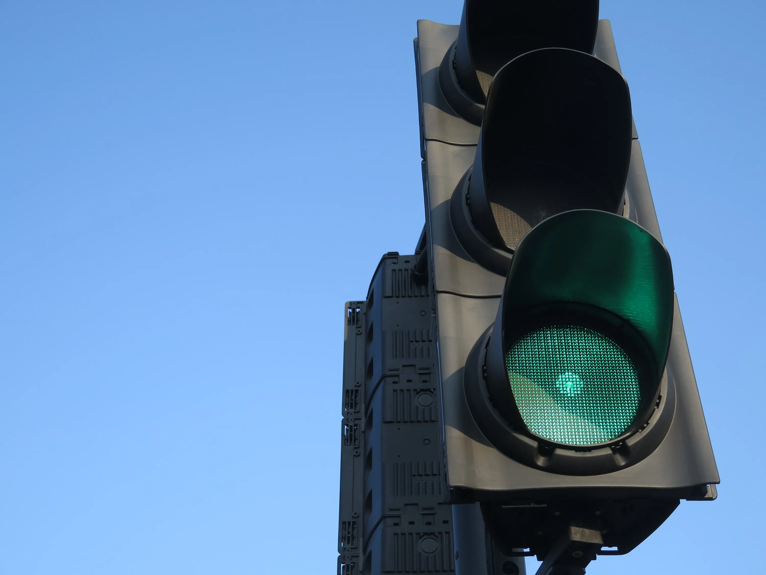
It also displays IP video, giving it remote views of the roads and junctions where the temporary traffic lights are situated, explained Steve Murphy, managing director of UVS, based in Burnley, UK.

For more information on companies in this article

Related Content

  • Tees Valley signals Fusion roll-out
    September 13, 2024
    Yunex Traffic solution will bring adaptive tech to towns and regions in northern England
  • IBM and Telvent to create smarter traffic solutions for smaller cities
    January 25, 2012
    Telvent and IBM have announced that together they will develop smarter traffic solutions that are affordable and customised for small cities, university and government campuses and business districts. The solution can integrate and analyse data traffic control, road sensors, bus schedules, real-time GPS location and IBM's advanced analytics.
  • A revisited framework for ITS in Europe
    November 9, 2023
    Following the newly-adopted European Directive on ITS, Joost Vantomme of Ertico – ITS Europe, shares his insights on the legislation and its opportunities for the entire industry
  • Interactive digital map shows road collision history across London
    September 22, 2015
    London’s first interactive digital collision map has been launched by the Mayor and Transport for London (TFL) as part of a continued drive to improve road safety awareness to reduce the number of casualties in the capital. The London Collision Map uses extensive data, collected by the police and held by TfL, to shine a light on road collisions in local areas. This creates a useful new way to inform road users about junctions with high collision histories and aiding improvement work in line with TfL’s co