Trimble’s RTX automotive positioning is in the driver’s seat

The most accurate positioning available is what automated vehicles need and Trimble’s RTX fits the bill. It combines Trimble’s precise positioning IP with automotive-qualified GNSS components. Trimble is now working supplying RTX positioning technology - based upon years of accurate positioning in the agriculture sector - with tier one suppliers and original equipment manufacturers in the automotive sector. Trimble said that its RTX is the best performing satellite-delivered correction service when measuri
June 7, 2018 Read time: 1 min
© F11photo | Dreamstime.com
The most accurate positioning available is what automated vehicles need and 1985 Trimble’s RTX fits the bill. It combines Trimble’s precise positioning IP with automotive-qualified GNSS components.


Trimble is now working supplying RTX positioning technology - based upon years of accurate positioning in the agriculture sector - with tier one suppliers and original equipment manufacturers in the automotive sector. Trimble said that its RTX is the best performing satellite-delivered correction service when measuring horizontal accuracy together with speed of convergence. The real-time centimetre-level positioning is based upon years of accurate positioning in the agriculture sector - from less than 30cm to just a few centimetres.

It is, said Trimble, a true multi-GNSS service – GPS, GLONASS, BeiDou, QZSS and Galileo. Pre- and post-broadcast data integrity checks are made for optimal reliability.

Importantly, Trimble RTX is not dependent upon the hardware platform.

Booth 111

Related Content

  • Virginia Tech reveals vested interest
    May 9, 2019
    New ITS systems on either side of the Atlantic – such as an intriguing piece of connected clothing – aim to reduce the casualty toll among road maintenance personnel, says Alan Dron t’s not a lot of fun working on road maintenance or road construction worksites. By definition, you’re out in all weathers. You’re not popular with motorists, who blame you for hold-ups. It’s frequently physically arduous. And, worst of all, the sector has an unenviable record of injuries - even fatalities. Often working jus
  • VanJee will focus on its Lidar systems
    March 20, 2024
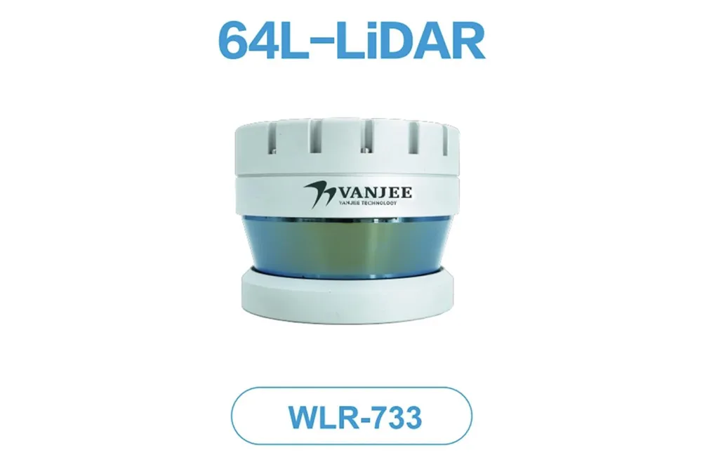
    Beijing-headquartered VanJee, a global ITS and lidar company, will be showcasing its innovative WLR-733 real time scanning radar.
  • Euromed countries warm to Galileo’s services
    June 6, 2014
    The EU is helping countries in North Africa and the Middle East utilise Galileo’s services. With its Galileo constellation rapidly taking shape, the European Union has opened lines of communication with countries in North Africa and the Middle East with a view to assisting their governments and businesses to utilise the satellite services that extend across the Mediterranean. The services available to countries are provided through the European Global Navigational Satellite System (E-GNSS), which includes a
  • Where is tolling tech taking us?
    September 25, 2019
    From DSRC and RFID to GNSS or smartphones – which technology is ‘best’ for tolls, charging and pricing schemes? In the first of two articles, Josef Czako examines the options